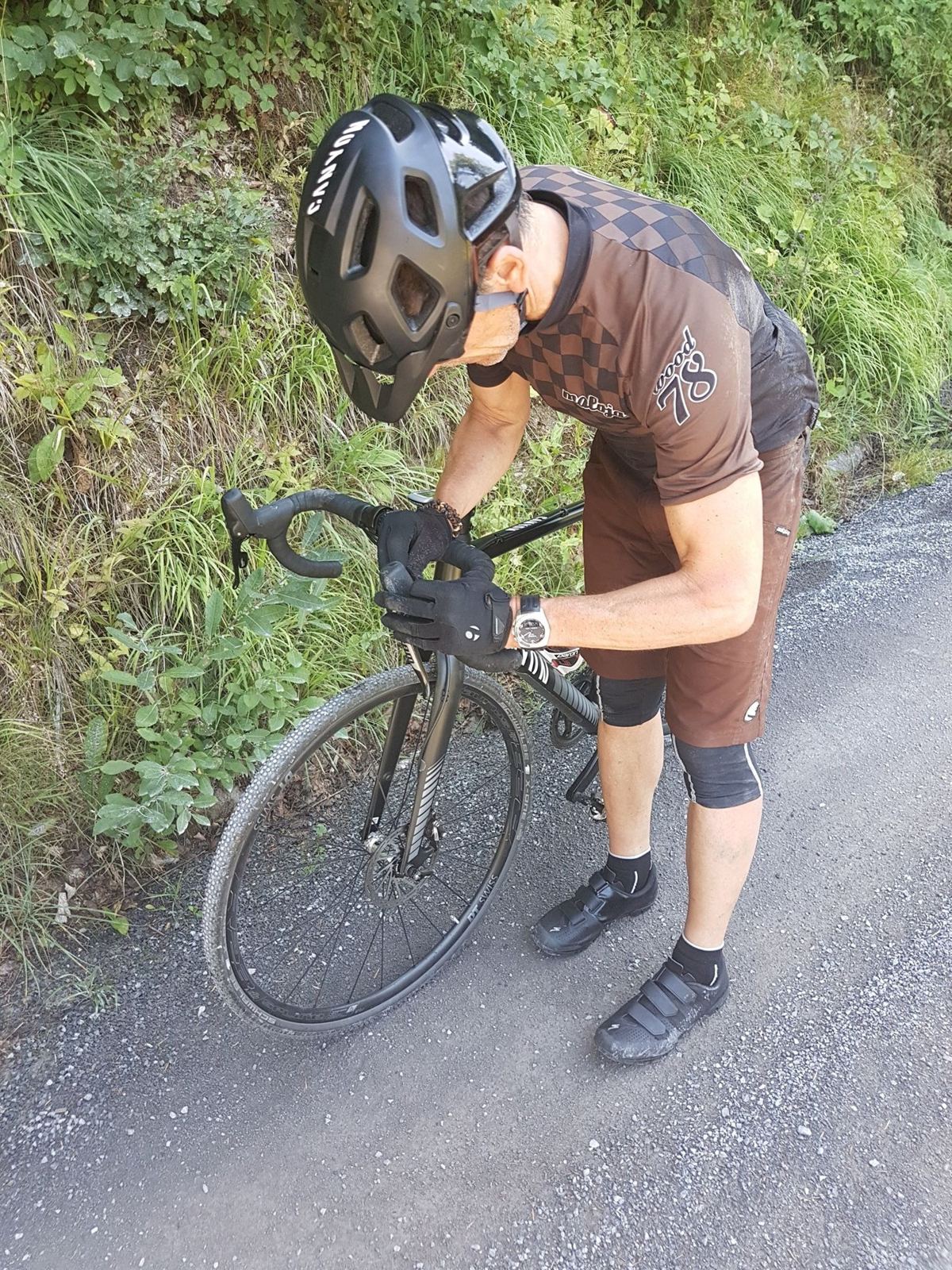
A summer day out with Tom on the cross bikes, in the hills of canton Zug: up from Menzingen over the high ground at nearly 1,200m, down to Sattel at the far end of Lake Ägeri and back along the lake. Then, around 40km in, a broken spoke, and that was the end of the climbing.
Not every ride from home stays by the lakes of the Seeland. This one was a proper day trip, in a different part of Switzerland: the green hills of canton Zug, between Lake Zug and Lake Ägeri. I rode it on Sunday 12 August 2018 with Tom, and my note sums up the day: "Day trip on the cross bike with Tom. Great ride in some stunning countryside. Around the 40k point, my back wheel broke a spoke and that was the end of the climbing. Crawled back home after that."
Menzingen And Lake Ägeri
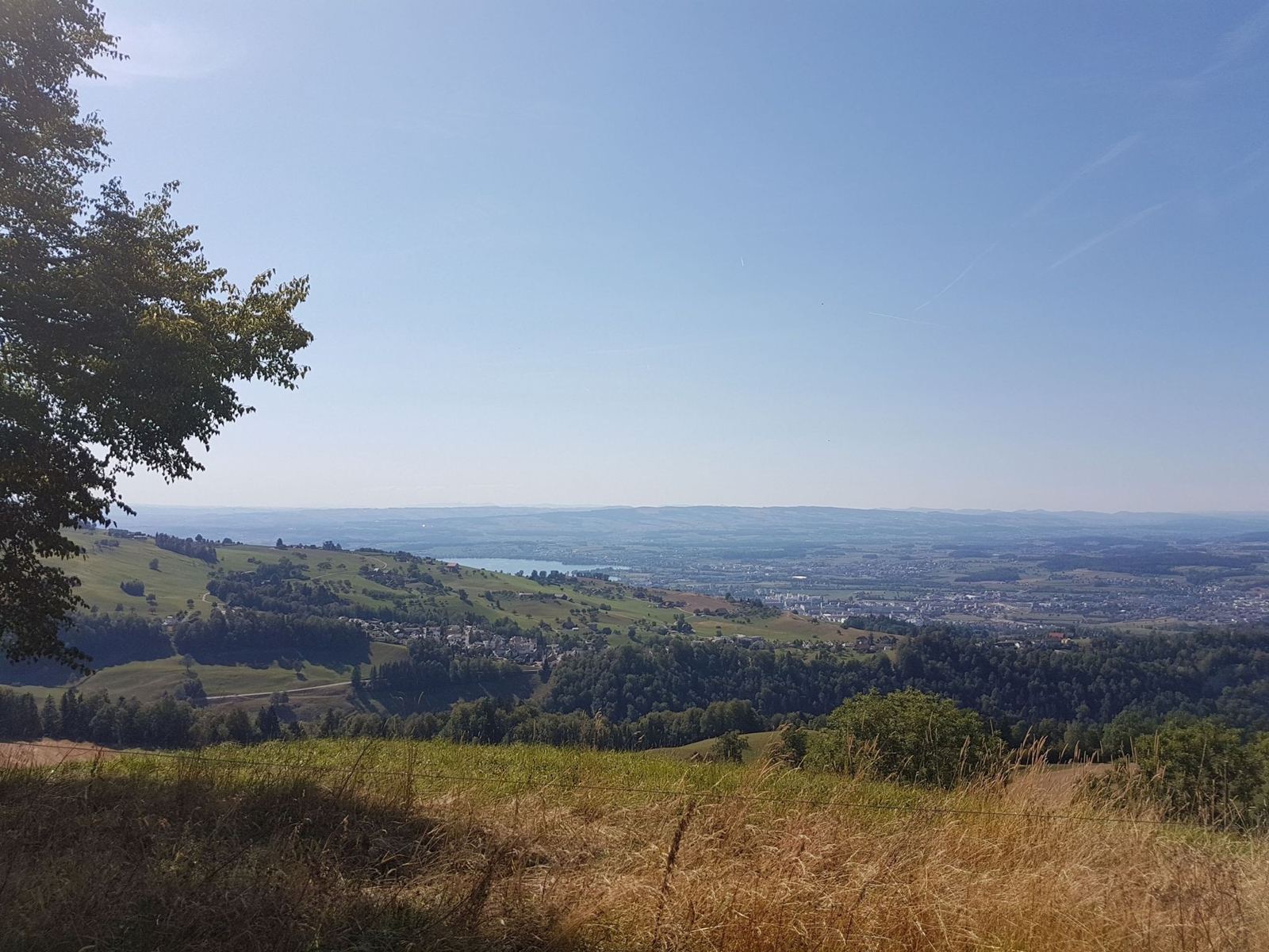
The ride starts at Edlibach, part of Menzingen, a village of about 4,500 people on a moraine plateau at around 800m, between the Lorze and Sihl rivers. Until the late 1950s it was the highest stop on the old Zug tramway network. From up here the land drops away to Lake Zug on one side and Lake Ägeri on the other.
Lake Ägeri, the Ägerisee, is a glacial lake 5.4km long and up to 1.4km wide, at 724m, and 83m deep at its deepest. Unterägeri and Oberägeri sit on its shore, the Lorze drains it towards Lake Zug, and since 1992 it has been used as a reservoir. It's also one of the most important places in Swiss history. On 15 November 1315, at the Battle of Morgarten on the shore of the lake near Sattel, the men of Schwyz, backed by Uri and Unterwalden, routed the army of Duke Leopold I of Habsburg. The victory held together the League of the Three Forest Cantons that became the core of the Old Swiss Confederacy. A monument went up on the southern shore in 1908, and the village there was renamed Morgarten.
The RideEdlibach, The Hills Above Lake Ägeri And SattelSunday 12 August 2018
How The Day Went
5km736m → 945m+209m
4.5km−208m
11.6km737m → 1,139m+400mlast bit 7%
45 minpizza
4kmup to 1,185m
5.6km−397m7% average
2.7km+132m
12kmthe spoke goes around here
about 1h 45m
5.9km+212mon a broken wheel
49 min
2.5km−182m
Up Into The Hills
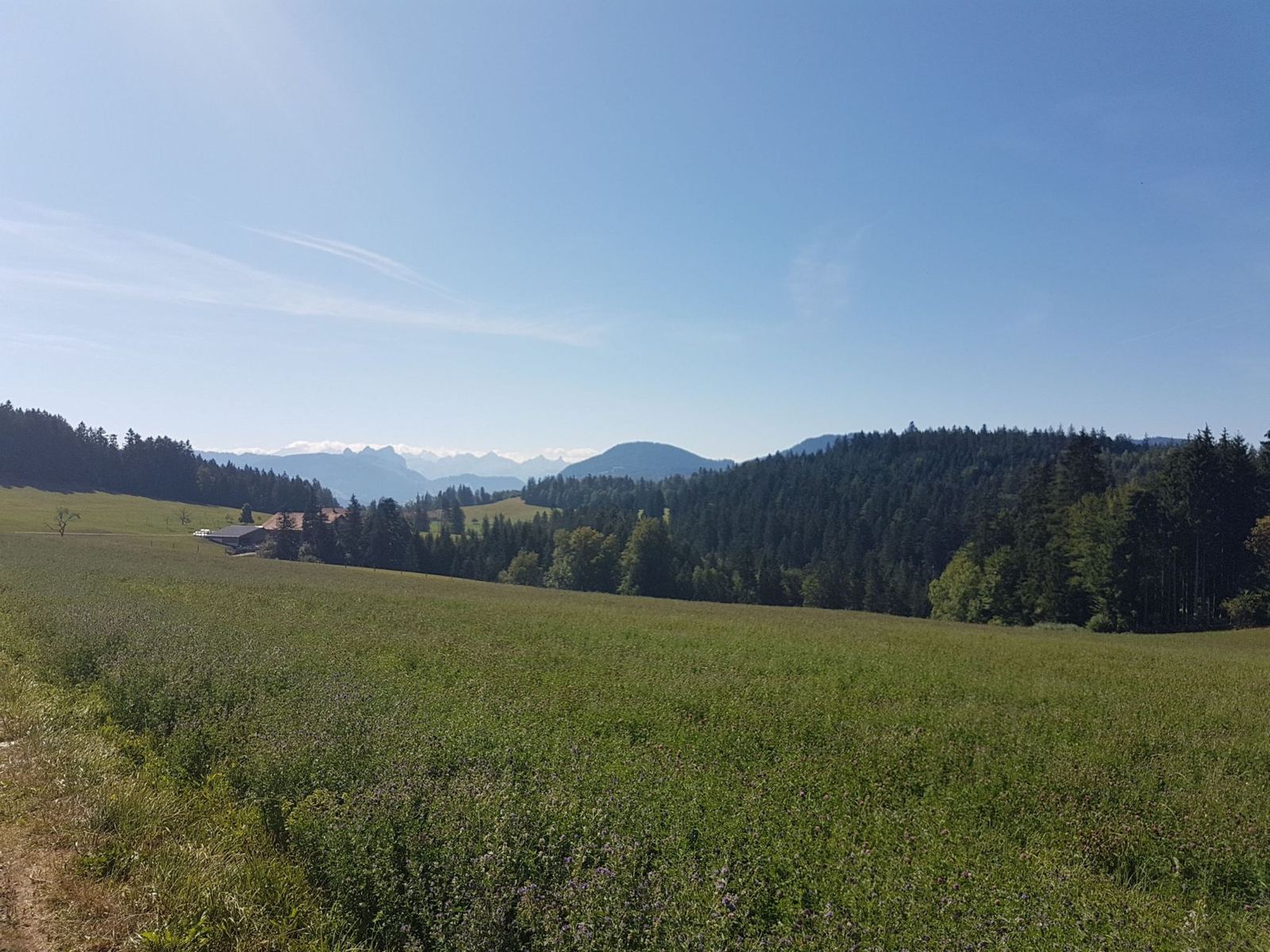
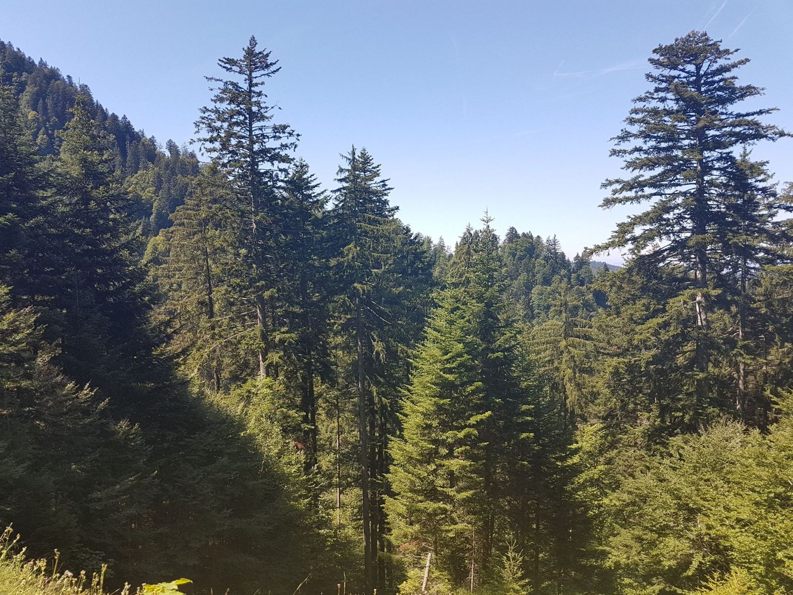
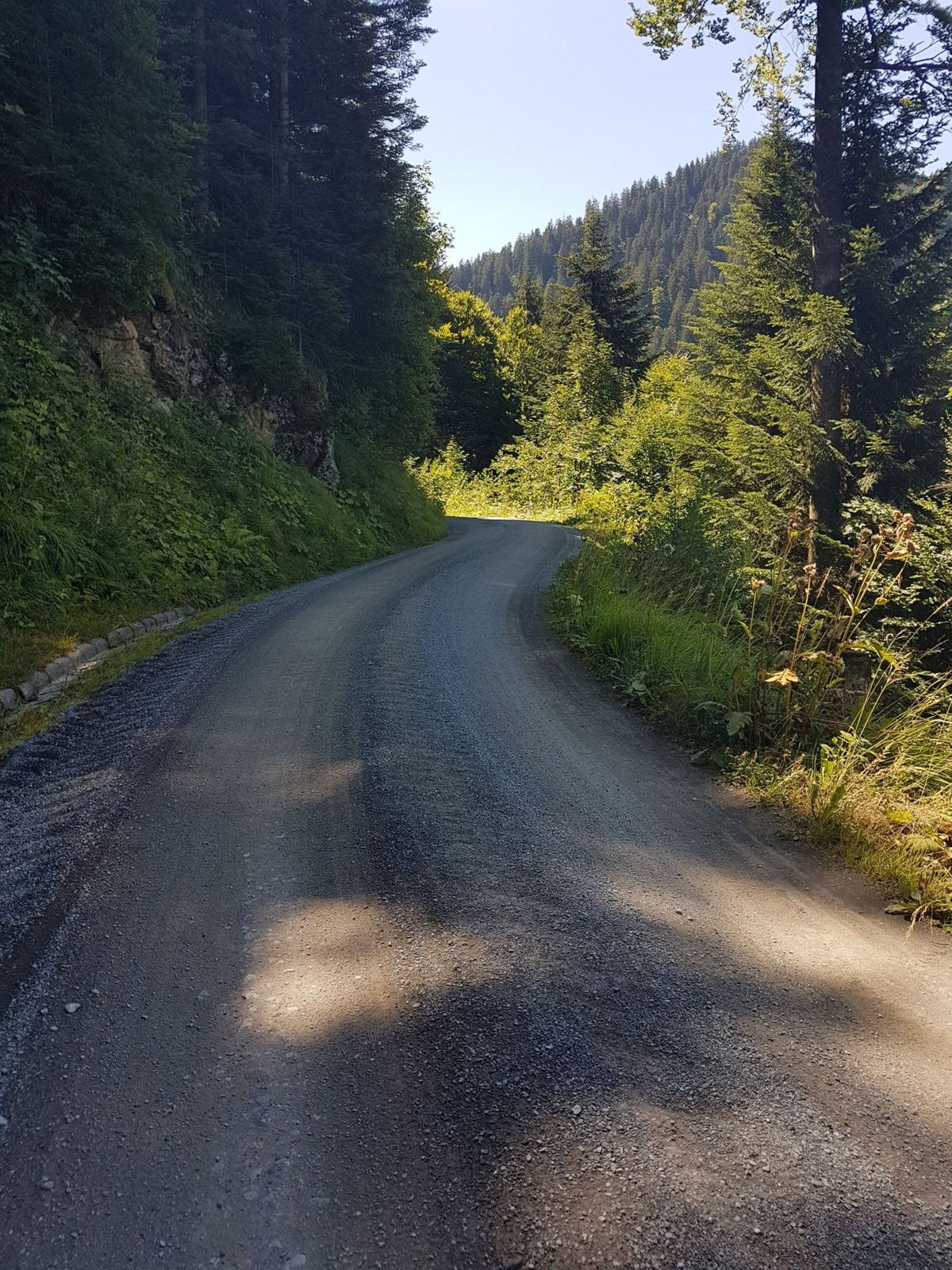
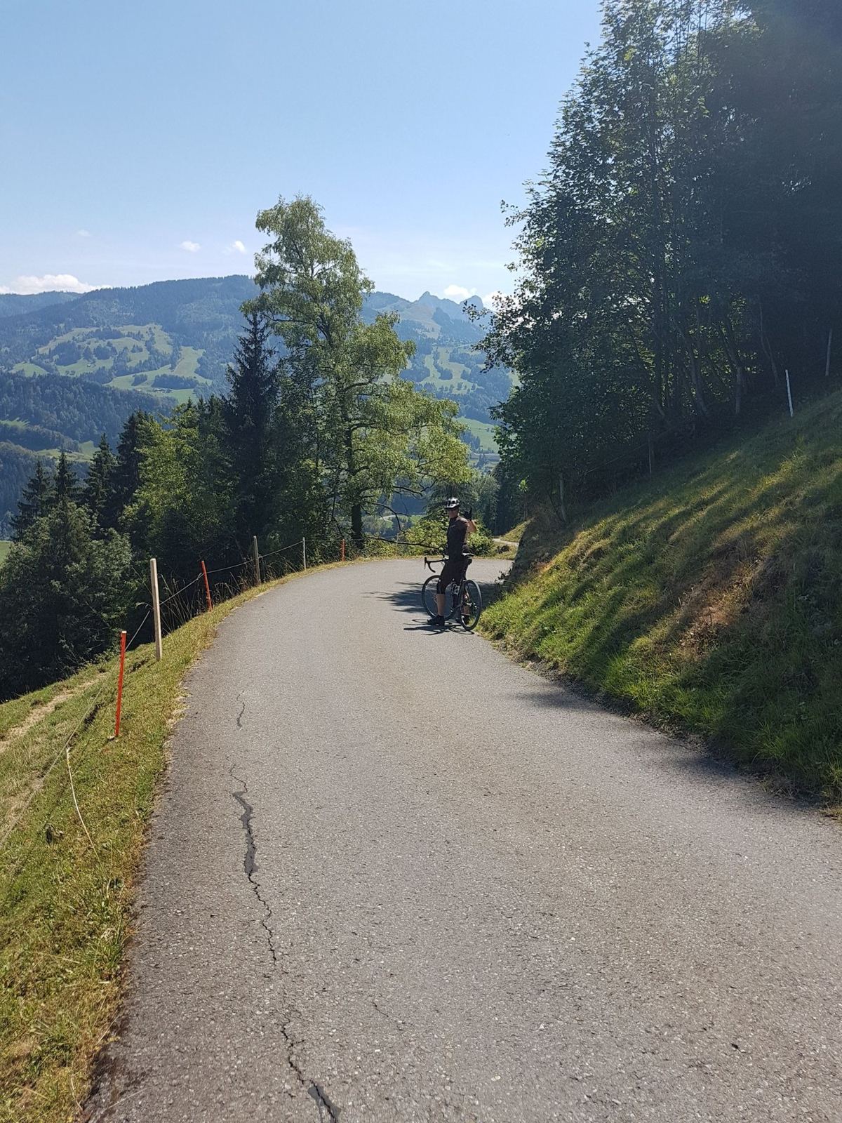
We set off from Edlibach at 10:17. It starts with a warm-up climb through Menzingen, then a quick drop to Unterägeri on Lake Ägeri, and then the real climbing: about 400m up from the lake into the hills, through Ochsenfeissi to Alpli, with the last 3km at over 7%. It's proper cross-bike country, farm roads and gravel tracks through meadows and forest, with the Alps lined up on the horizon.
Lunch At The Top
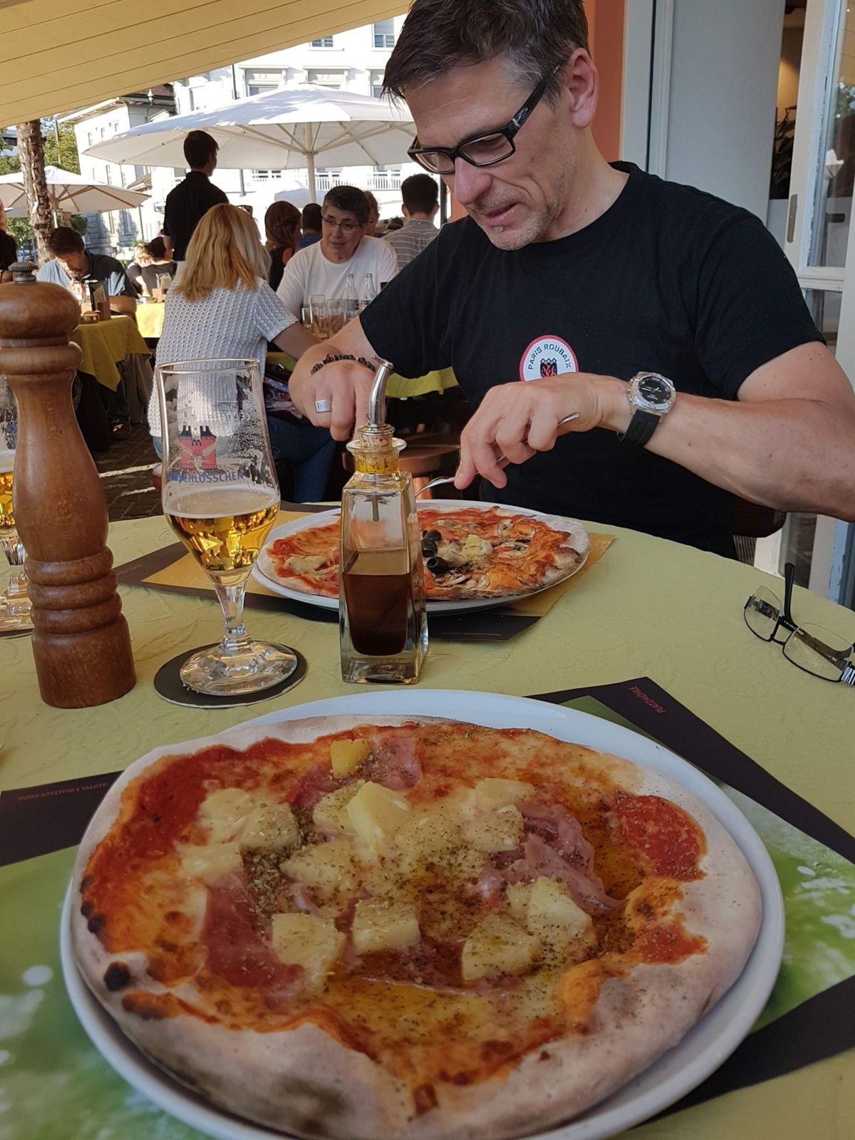
At Alpli, at 1,148m, we stopped for lunch: three quarters of an hour, and pizza. Then along the top to Hüritalalp, at nearly 1,190m the highest point of the day, and a fast 5.6km descent to Sattel at the far end of the lake, dropping almost 400m at about 7%.
The Spoke
From Sattel we climbed once more and then came back along Lake Ägeri, past Oberägeri towards Unterägeri. It was around here, about 40km in, that my back wheel broke a spoke. The Strava file tells the rest: we stopped in Unterägeri at 14:26 and didn't get going again until 16:13, nearly an hour and three quarters later. Then it was a slow 212m climb up to Allenwinden on a damaged wheel, another long stop, and the last downhill to Edlibach at 17:42. In my words, I "crawled back home after that".
The numbers still add up to a good day: 55.1km and 1,404m of climbing in three and a half hours of riding, nearly as much climbing as the much longer Chasseral ride from home. It was over seven hours door to door, though, most of the extra spent sitting by the road with a broken wheel.