France · Var · Côte d'Azur

Provence: Ramatuelle & Bormes-Les-Mimosas

The bay of Saint-Tropez, 28 September 2011
Scroll ↓

A family trip to the Var at the end of September 2011, and some of the earliest rides on this site: round the Saint-Tropez peninsula and its beaches, up into the hills past Gassin and the Paillas windmills above Ramatuelle, and from Cabasson, by the Fort de Brégançon, into the forests of the Maures. In my words: lovely area for cycling.

These are some of the oldest rides in my Strava history, from a family holiday in the autumn of 2011: a week near Ramatuelle on the Saint-Tropez peninsula, then a few days further west at Cabasson, near Bormes-les-Mimosas. The only ride note is three words long, from 29 September: "Lovely area for cycling."

Ramatuelle, Bormes And The Maures

Ramatuelle is a village of about 1,900 people in the Var, close to Saint-Tropez, Gassin and Sainte-Maxime, built on a hill to defend itself against raiders. The actor Gérard Philipe is buried there. Its hills rise to the old windmills at Paillas, above Gassin, with views over both sides of the peninsula.

Bormes-les-Mimosas, further west along the coast, has a medieval old town of houses covered in bougainvillea, and its commune includes Cabasson and the Fort de Brégançon, the official retreat of the President of the French Republic. Behind both runs the Massif des Maures, a range about 56km long and 16km wide, covered in cork oak, holm oak and sweet chestnut, rising to 780m at the Signal de la Sauvette.

Ride 1Round The Saint-Tropez PeninsulaWednesday 28 September 2011

Start & finish: near RamatuelleCap CamaratSaint-Tropez
Ride 1, from my GPS track. Green: the base near Ramatuelle. Round the coast of the peninsula towards Saint-Tropez and the capes, and back over Cap Camarat. This ride on Strava →
49.6kmDistance
685mClimbing
2h 20mMoving time
11:43–14:36Out on the road (2h 52m)
21.3km/hAverage moving speed
46.2km/hTop speed

How The Day Went

11:43 – 14:04
Round the coastthe beaches → Cap de Saint-Tropez → back

41.5kmrolling

14:04 – 14:25
Over the cape→ Cap Camarat

5.3km

14:25 – 14:36
Home

2.6km

The first ride of the trip, on a bright day: round the edge of the peninsula past the beaches with their blue parasols, out towards the Cap de Saint-Tropez and back over Cap Camarat. 49.6km and 685m. (The heights in this old file dip below sea level, so I've left them out.)
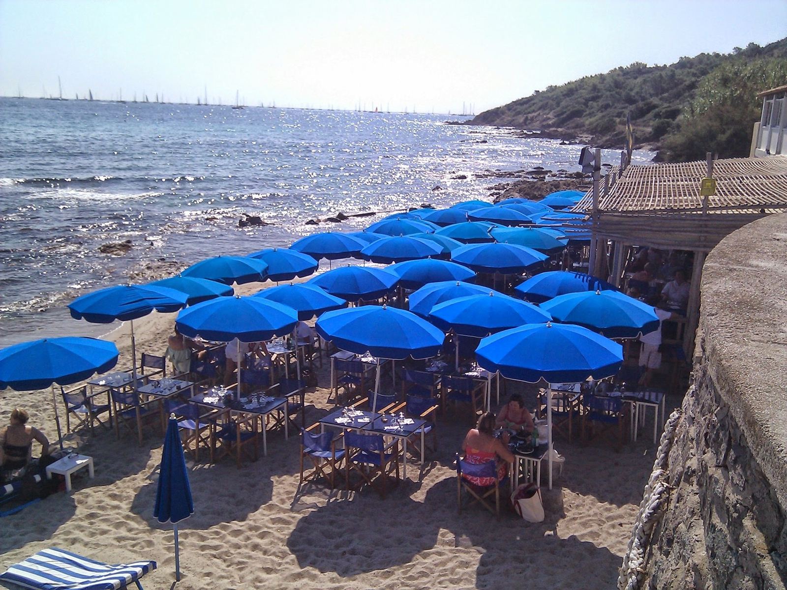
Rows of blue parasols on a beach restaurant terrace beside the sea
12:04: a beach restaurant on the way round.
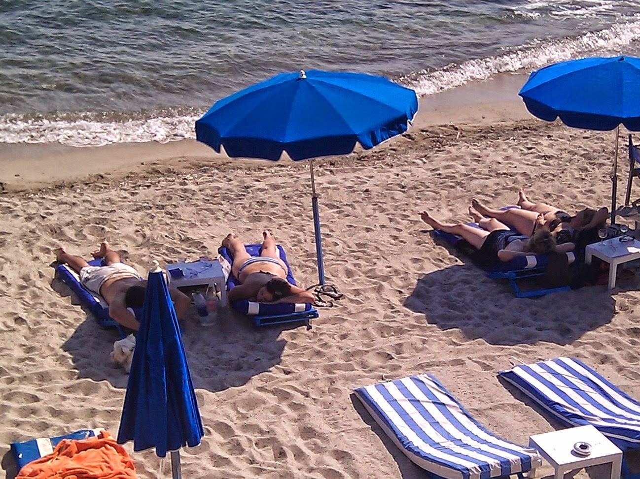
Blue parasols and striped sun loungers on a sandy beach
12:06: the beach.
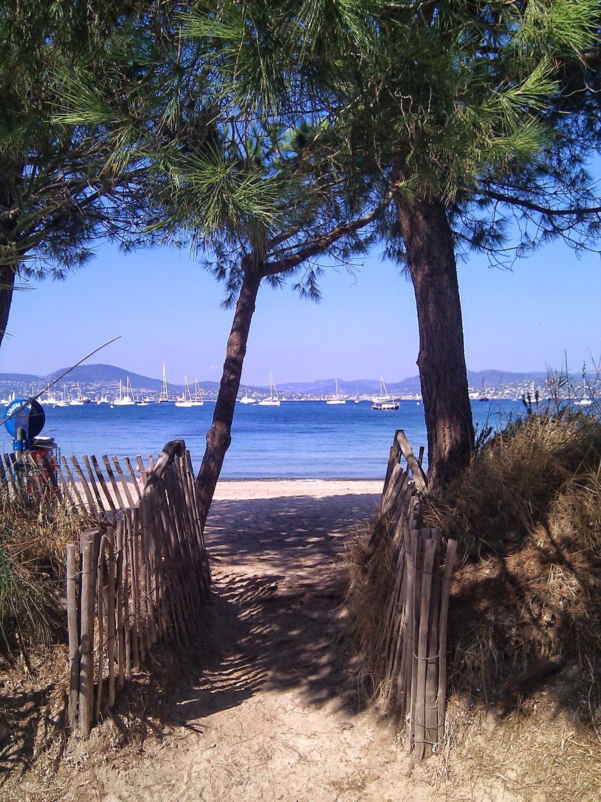
A sandy path through pine trees to the sea with Saint-Tropez across the bay
12:33: a path down to the sea.

Ride 2Up To The Paillas Windmills And Cap CamaratSaturday 1 October 2011

Start & finish: near RamatuellePaillas windmills, 266mRamatuelleCap Camarat lighthouse
Ride 2, from my GPS track. Green: the base near Ramatuelle. Out along the coast, up past Gassin to the Paillas windmills (red), down through Ramatuelle to L'Escalet, and over to the Cap Camarat lighthouse. This ride on Strava →
56.1kmDistance
1,191mClimbing
266mHighest point (Paillas)
6mLowest point (the sea)
2h 32mMoving time
14:20–17:11Out on the road (2h 50m)
22.0km/hAverage moving speed
56.3km/hTop speed

How The Day Went

14:20 – 15:22
Along the coast

25km

15:22 – 15:56
Into the hills→ Gassin → the Paillas windmills

6.2km+236m3.8% average

15:56 – 16:17
Down through Ramatuelle→ L'Escalet

7.9km

16:36 – 16:47
To the lighthouse→ Cap Camarat

3.4km+82m

16:47 – 17:10
Home

7.6km

The hilly one: up past the hilltop village of Gassin to the old windmills at Paillas, at 266m the highest point of the ride, down through Ramatuelle to the sea at L'Escalet, and out to the Cap Camarat lighthouse. 56.1km and 1,191m, the most climbing of the trip.
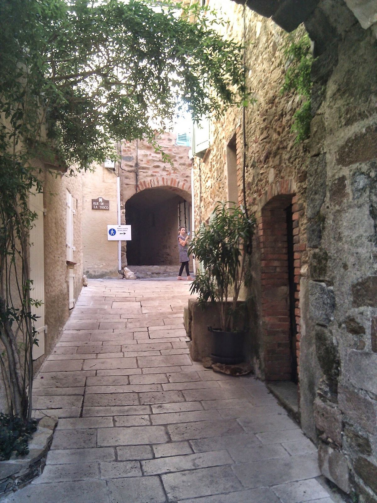
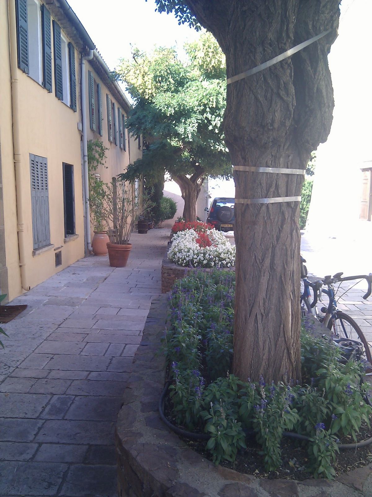
A narrow stone lane in an old Provençal village with an arch at the end
14:41: an old village lane.
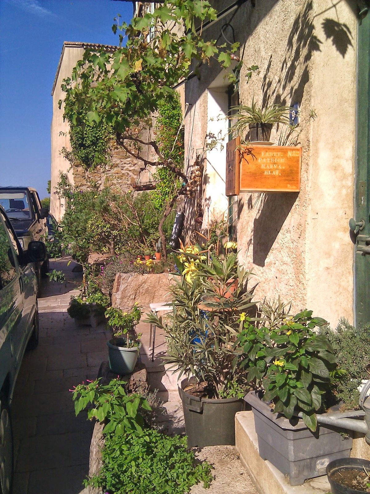
Flowers and plants outside an old stone house in a Provençal village
Flowers by the doorways.
A pale street with a large plane tree and a bike leaning against a wall
The bike in the village.

Ride 3From Cabasson Into The MauresWednesday 5 October 2011

Start & finish: CabassonL'Avelan, 400mPierrefeu-du-Var
Ride 3, from my GPS track. Green: Cabasson, by the Fort de Brégançon. Inland to Pierrefeu-du-Var and up into the Maures to L'Avelan (red), and back down to the sea. This ride on Strava →
57.9kmDistance
769mClimbing
402mHighest point (L'Avelan)
0mLowest point (the sea)
2h 14mMoving time
10:57–13:15Out on the road (2h 17m)
25.8km/hAverage moving speed
53.3km/hTop speed

How The Day Went

10:57 – 11:51
InlandCabasson → Pierrefeu-du-Var

23kmgently up

11:51 – 12:28
Into the Maures→ L'Avelan

12.8km+305m

12:28 – 13:14
Down to the sea→ Cabasson

21.4km−380m

From the base at Cabasson, near the Fort de Brégançon, I rode inland to Pierrefeu-du-Var and then up into the forest of the Maures to about 400m at L'Avelan, and back down to the sea: 57.9km at nearly 26km/h. I'd ridden the same loop the day before too.

Where It Is

Ramatuelle (marker) on the Saint-Tropez peninsula, with Bormes-les-Mimosas, Cabasson and the Maures to the west.