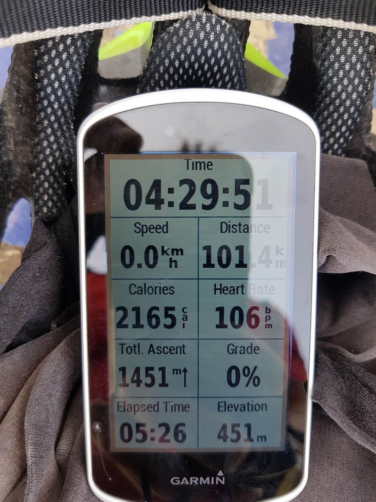
The biggest day out from home: round Lake Biel, up through the vineyards and over the Plateau de Diesse to the top of the Chasseral road at 1,565m, then down to Lignières and back along the lake. 101km, and one wheel wobble at 70km/h I'd rather forget.
Chasseral is the ridge you see from almost everywhere around the Bern lakes: a long green wall on the far side of Lake Biel with a tall white mast on top. From home in Bargen it's the obvious big ride, and on Monday 20 August 2018 I put it together with a 100km loop of the lake. A bit about the mountain first, then the ride.
Chasseral
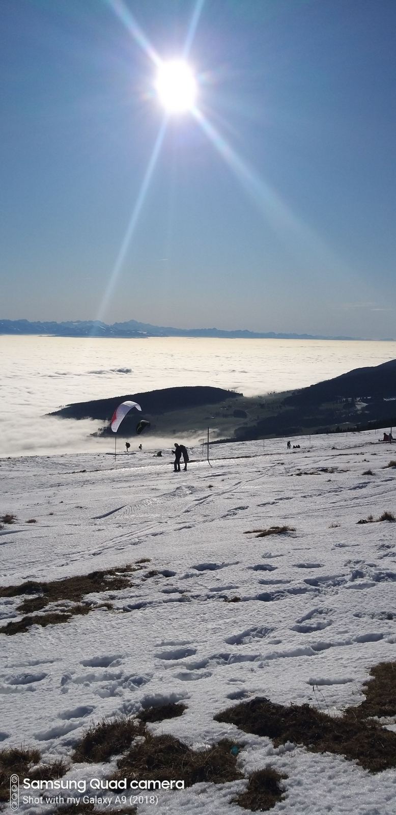
At 1,606m, Chasseral is the highest summit in the canton of Bern outside the Alps, and the northernmost and easternmost peak in the Jura above 1,500m. It stands on its own, too: it's one of the most topographically isolated mountains in Switzerland, which is why the view from the top is so big. On a clear day it takes in the Jura, the whole Swiss Plateau and the Alps beyond, and as far as the Vosges and the Black Forest. Closer in, you look straight down on Lake Biel, with Lake Neuchâtel and Lake Murten beyond.
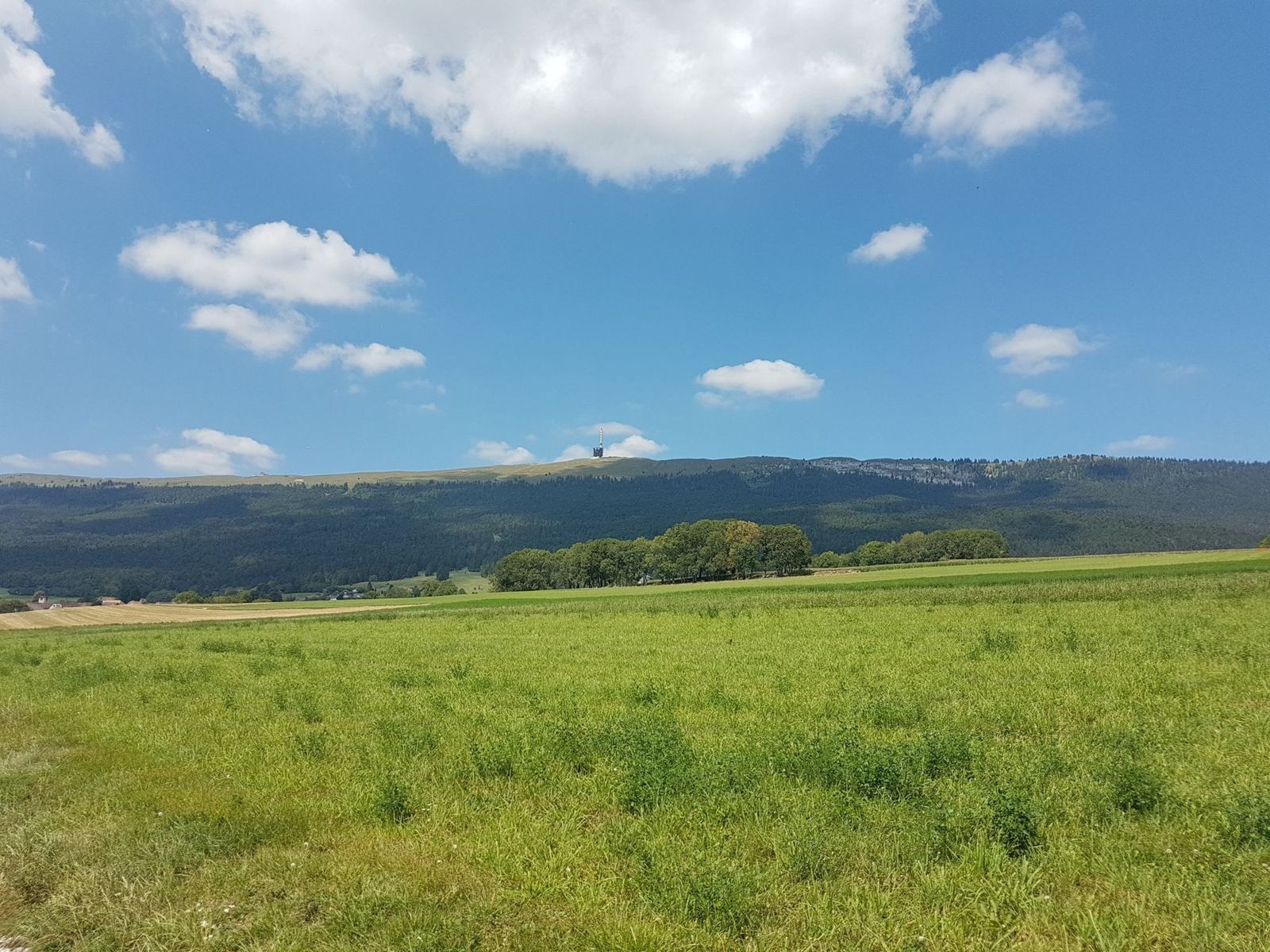
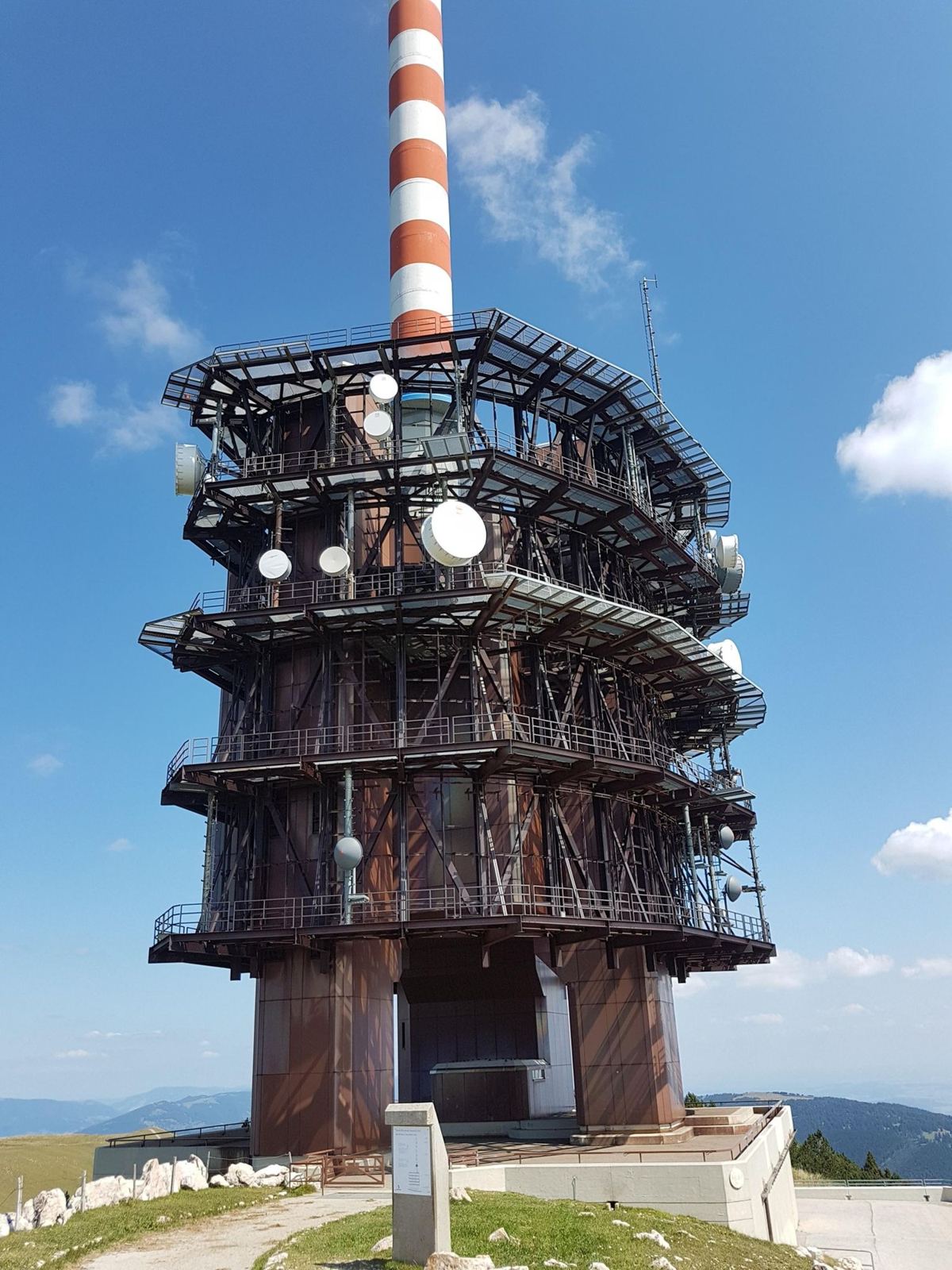
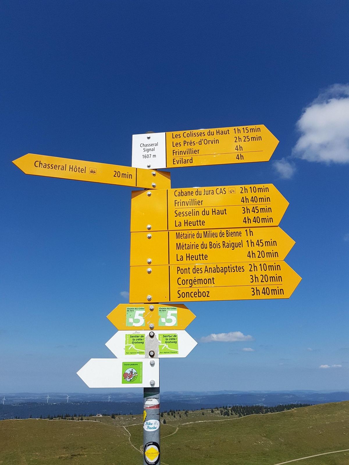
The mast that marks the top from miles away is the Swisscom transmitter tower, about 120m tall. Just below it is the Hôtel Chasseral, with a bus stop for the walkers, and that's where the road ends. Roads come up from both sides: from St-Imier in the valley to the north, and from the Lake Biel side through Nods, which is the way I went. In winter the pass road is closed to cars, and the weather up there is a different country from the lakes: the long-term average high at the summit station is just 7.4°C.
The lake at the bottom has its own story. Lake Biel is 15km long, at 429m, and its shape today is partly man-made: in 1878 the river Aare was diverted into it at Hagneck to stop the Seeland flooding. On the north shore the vineyards of Twann and Ligerz run straight down to the water, and St Peter's Island, where Jean-Jacques Rousseau lived for a few months in 1765, sits off the southern end.
The RideBargen, Lake Biel And Up The ChasseralMonday 20 August 2018
How The Day Went
32kmflat, 430–460mwarm-up
10km437m → 865m+430m
9 min
11km865m → 1,565m+700m6% average
8 minthree lakes
15km1,556m → 787m70.2km/h top speed
27 min
12km787m → 447m
22kmflat
Round The Lake
I set off from Bargen at 11:13 on a hot day, 26°C on average for the ride. The first hour and a quarter is the warm-up: west through Siselen to Hagneck, where the Aare pours into the lake, then along the south shore through Sutz-Lattrigen to Nidau at the top end of the lake by about 12:07, and round onto the north shore towards Twann.
Up Through The Vineyards To Nods
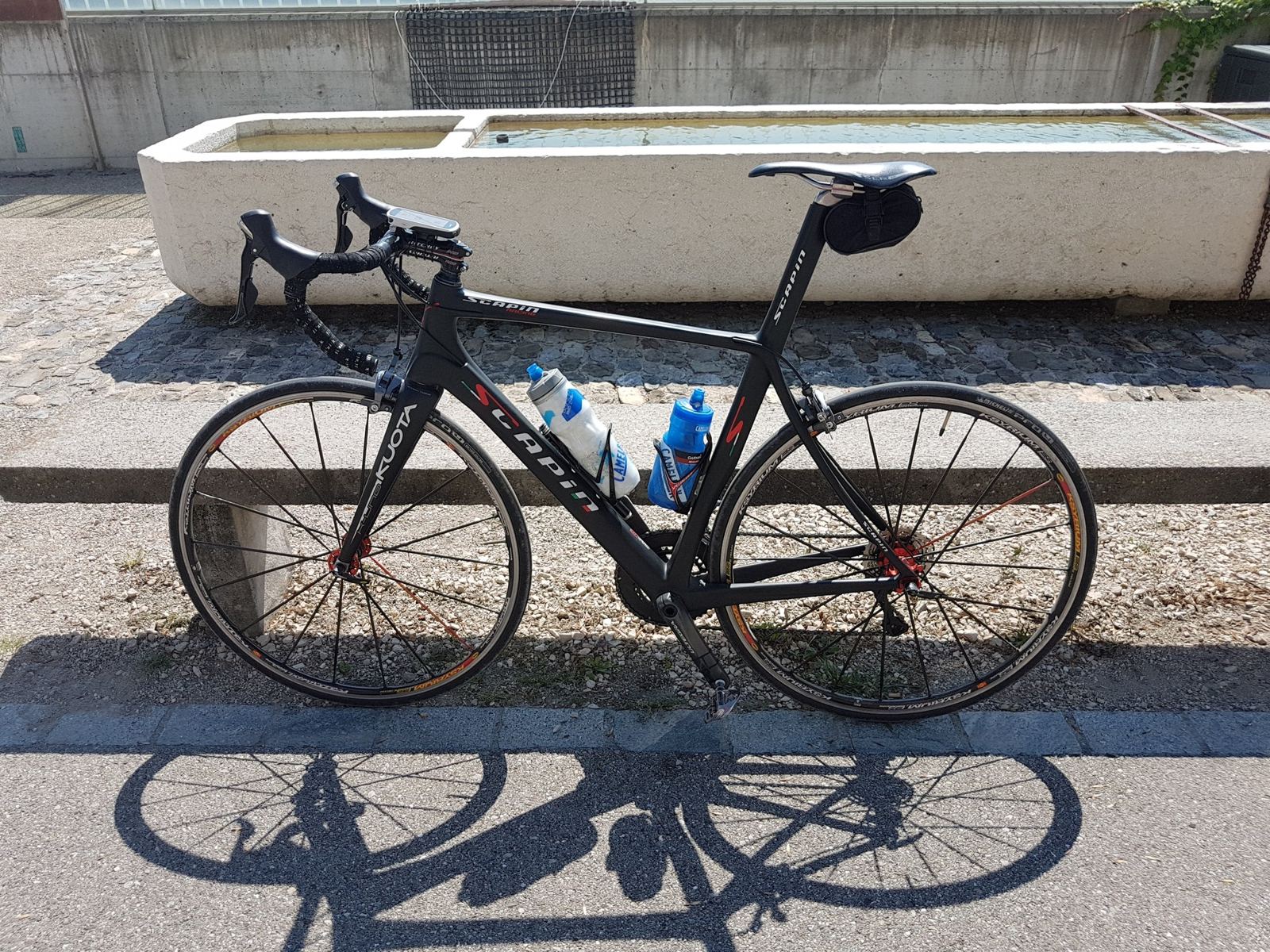
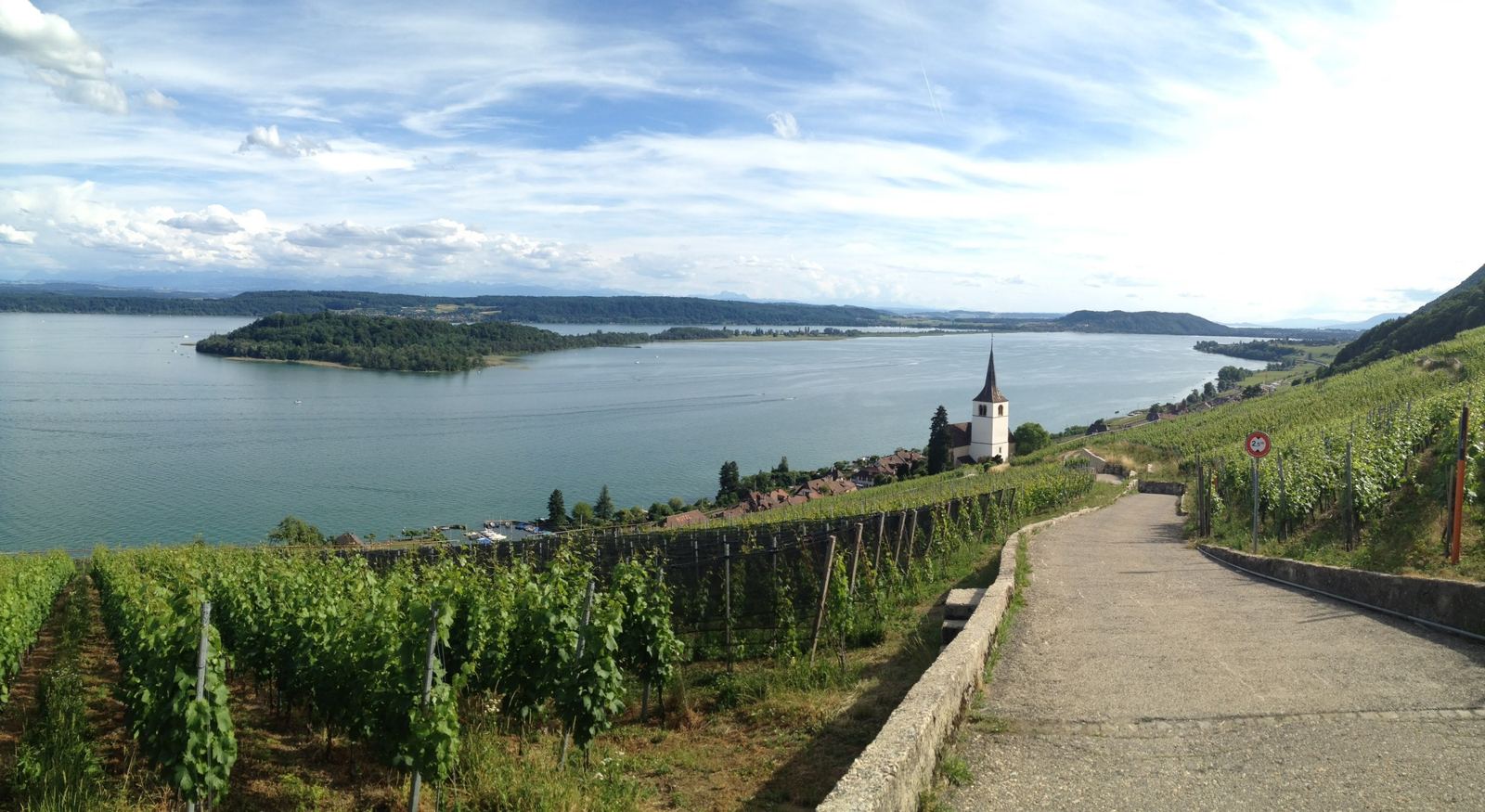
The climbing starts at Twann at about 12:29, straight up out of the lake through the vineyards that cover the north shore. In about 10km it takes you from 437m to 865m, past Les Moulins and onto the Plateau de Diesse, a wide, open shelf of farmland between the lake and the mountain. I had a short breather in Nods at 13:11.
The Chasseral Road
From Nods it's the real climb: about 11km and 700m up to the top of the road at 1,565m, below the tower, at around 6% on average. I was there at 14:21, three hours and eight minutes after leaving home, and stopped for a few minutes to take in the view. In my own words, this was "a first up the Chasseral this year", stuck onto a 100km ride for good measure.
The Descent, And The Wobble
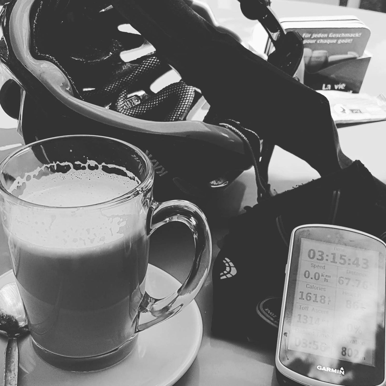
The way down is the fast bit: 15km and nearly 800m of descent to Lignières in about 20 minutes. It was nearly the end of the day in a different way. My note from the ride says it all: "A great day out apart from the wheel wobble on the way down at 70kph. Could have been a disaster....." The top speed on the record is 70.2km/h, so that's exactly where it happened. I stopped in Lignières for nearly half an hour afterwards, which I think was needed: a coffee, with the Garmin showing three and a quarter hours of riding.
From Lignières it's downhill again to La Neuveville on the lake at 15:27, then the flat run home along the south shore: past the old abbey at St Johannsen, through Erlach at 15:44 and Lüscherz, and back into Bargen at 16:38. 101.4km in all, with 1,451m of climbing.