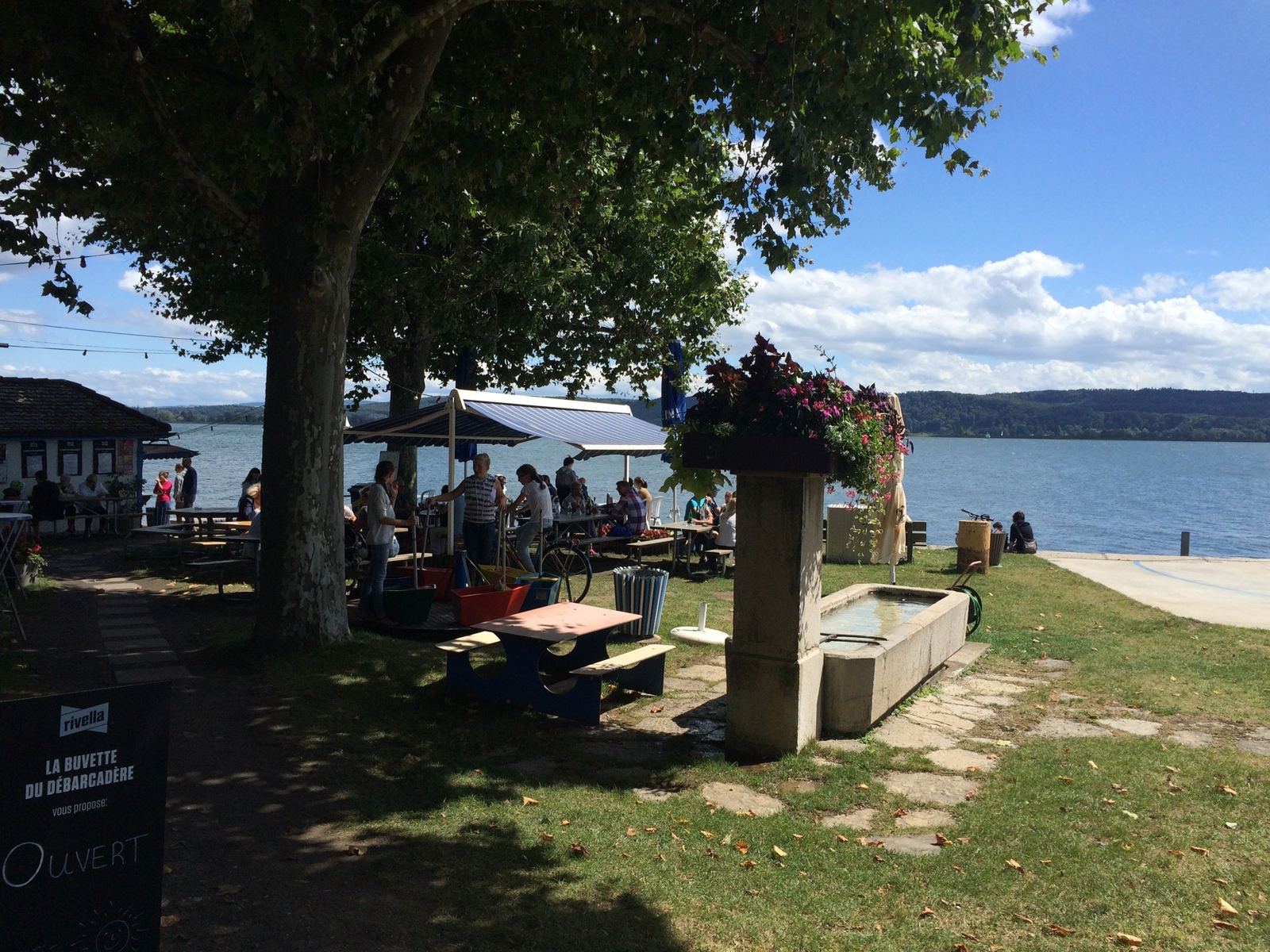
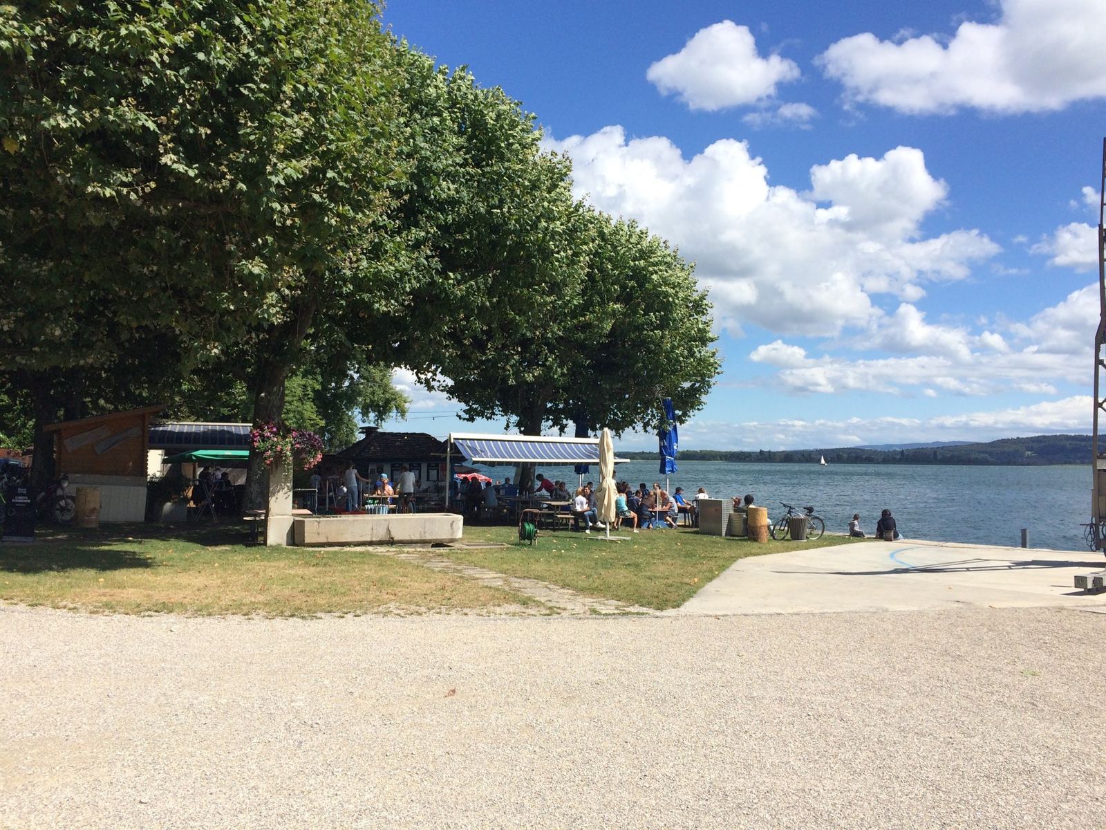
Spring 2012, three weekends, one mountain. From Le Landeron on Lake Biel I went up the Chasseral and found the top closed, went back and did it twice in a gale, then went back again and did it twice with four hill repeats in the middle. 2,981m of climbing on the last one, my biggest day on this mountain.
Before the rides settled round Bargen, on the other side of the lake, I spent a spell riding from Le Landeron, at the south-western tip of Lake Biel. The Chasseral sits right above it, so that's where nearly every ride went. These are three rides from the same five weeks in March and April 2012, and you can see the legs coming on from one to the next.
Le Landeron
Le Landeron is a small French-speaking town in the canton of Neuchâtel, at the point where the Thielle (the Zihl in German) leaves Lake Biel. The name appears around 1209, but the town itself was built as a fortification: in 1328–29 Count Rudolph IV of Neuchâtel founded a walled town on a rocky moraine island in the marshy Thielle valley. Its old town has kept that compact, fortified look.
Since 1973 that old town has hosted the Fête de la brocante, one of the largest antiques and flea markets in Switzerland. Above the town, Lignières sits on its own high plateau at about 800m, and above that again is the Chasseral, at 1,606m the highest summit in the canton of Bern outside the Alps. The road from Le Landeron goes up through Lignières and then on to Nods and the top: a climb of well over 1,000m straight from the lake.
Ride 1Top Of Chasseral ClosedSaturday 17 March 2012
How The Day Went
15km427m → 1,393m+966m6.4% average
13.6km−930m
4.8km462m → 783m+321m6.7% average
13km
The first one of the run, and the shortest. My whole note for it is four words: "Top of Chasseral closed". In mid-March the top of the mountain still had its winter, and the road was shut. I got to about 1,390m, a little under 80 minutes after leaving the lake, and turned round. Rather than just go home, I dropped all the way down to La Neuveville and climbed back up to Lignières, which made it 46.5km and 1,440m of climbing anyway.
This was on the BMC cyclocross bike, and I loved that bike. I should never have sold it. In Strava it's on 149 rides and over 5,200km, from November 2011 right through to 2021.
Ride 2Twice Up The Chasseral, In A GaleSunday 25 March 2012
How The Day Went
16.7km432m → 1,541m+1,109m6.6% average
9.5km−706m
11.8km834m → 1,545m+711m6% average
17.5km−1,106m62.2km/h top speed
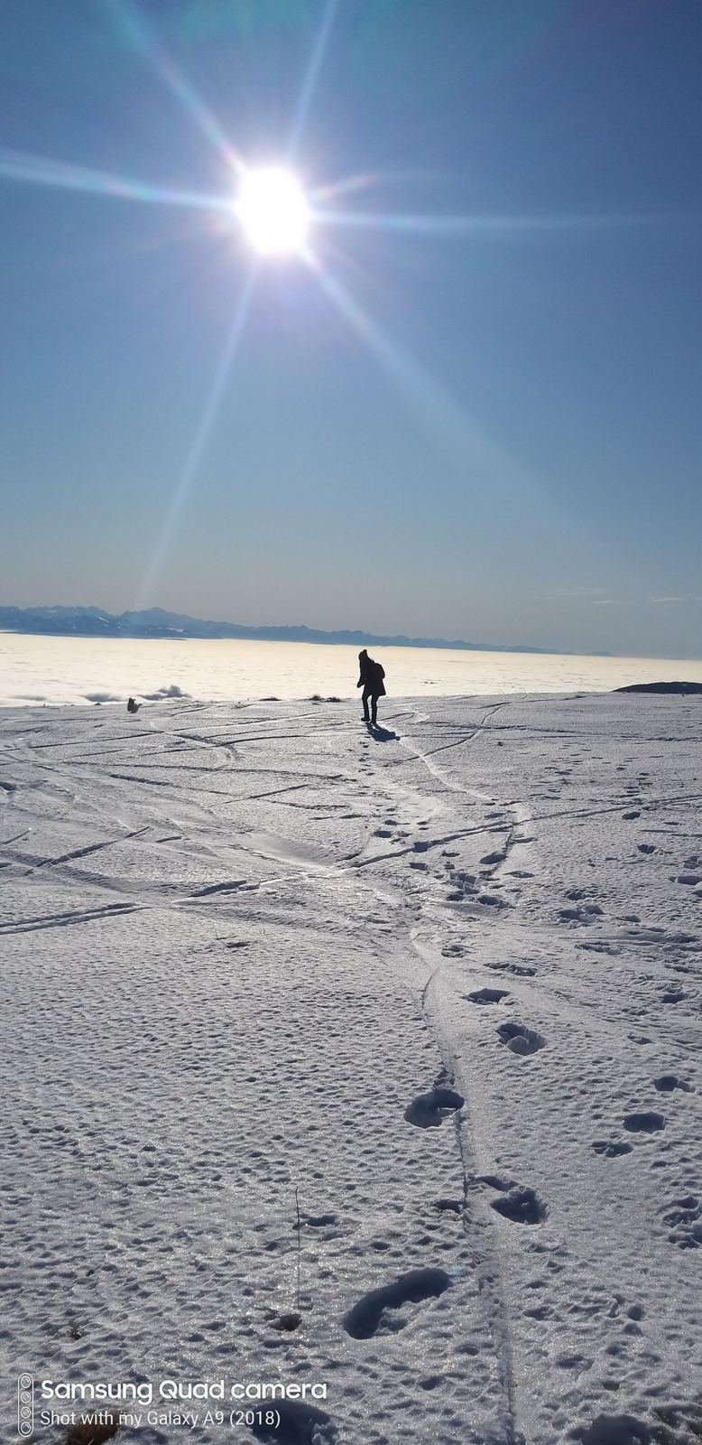
A week later the road was open, so I went up and then did it again. My note: "Hard ride. Very windy day. Twice up the Chasseral..." The first ascent is the full climb from the lake, 1,109m in 16.7km, done in an hour and 25 minutes. Then down the far side as far as Les Tilleuls at 834m, and straight back up, another 711m. Two ascents, 1,919m of climbing in 55.6km, and the wind for company on both of them.
Ride 3Twice Up, With Four Repeats In The MiddleSunday 1 April 2012
How The Day Went
18.5kmabout +1,300m1h 40m
10.9kmabout −680m
4 × 3–4kmabout 200m each1h 50m
10.7km+664m6.2% average
7 min
21.6kmabout −1,180m65.3km/h top speed
And a week after that, the big one. I left the lake at 08:28 and went up the full climb through Lignières and Nods to the top by 10:08. Then, instead of going home, I went down the Nods side and did four repeats of the same short climb, 3 to 4km and about 200m each, between Les Tilleuls and Nods, for nearly two hours. Then the whole of the top half again, 664m to the summit a second time, a seven-minute stop, and 21.6km downhill back to the lake.
My note says "Very hard day", and the numbers agree: 88.8km, 2,981m of climbing according to Strava, five hours and 16 minutes of riding and 3,559 calories. That's more than double the climbing of the Chasseral ride from Bargen. One caution on the heights: this was an old Garmin, and its altimeter read about 100m high all day, putting the top at over 1,700m when the summit is 1,606m. The climbing total may be a little generous too, but not by much.