A ride named after its coffee stop: across the farmland to Lake Murten at Muntelier, along the shore to Sugiez and the Broye canal, then up through Ins to Erlach for coffee and back over the Jolimont. 63.7km and the flattest of my home rides.
Lake Murten is the small one of the three lakes, tucked between Lake Neuchâtel and Lake Biel, and from Bargen it's a short hop south across the Seeland. On Monday 10 April 2017 I did what the ride's name says: "Lovely cross ride to Lake Murten then across to Erlach for coffee before the trip home."
Murten And Its Lake
Murten, or Morat in French, is the capital of the See/Lac district of the canton of Fribourg, and about three quarters of the town speaks German. Its old town and its city walls, which you can still walk along, are listed as Swiss heritage sites of national importance. The town's big date is 22 June 1476, when Charles the Bold, Duke of Burgundy, besieged it. Murten held out for 13 days until the Bernese and their Swiss allies arrived, and some 10,000 Burgundians were killed in the battle that followed.
The lake sits between the two bigger ones and is linked to them by canals: the Broye canal runs from Sugiez, at the north end of Lake Murten, to Lake Neuchâtel. Across the water from Murten is the Vully, a hill with over 100 hectares of vineyards. The flat land between Murten and Lake Biel is the Grosses Moos, drained marshland that is now some of the best vegetable-growing country in Switzerland, and that's most of what this ride crosses.
The RideBargen To Lake Murten, And Erlach For CoffeeMonday 10 April 2017
How The Day Went
16kmfarm roads
6kmlakesidethe Broye canal
10km
11km
20 minthe reason for the ride
6km+90mthe only climb
13km
Down To The Lake
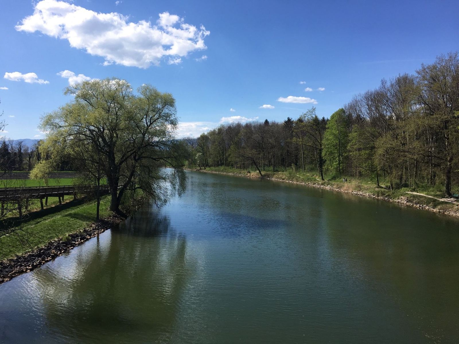
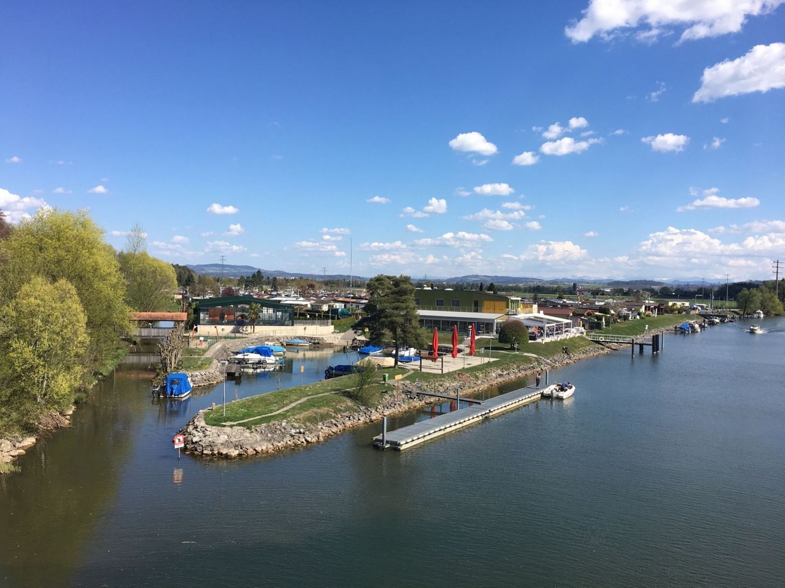
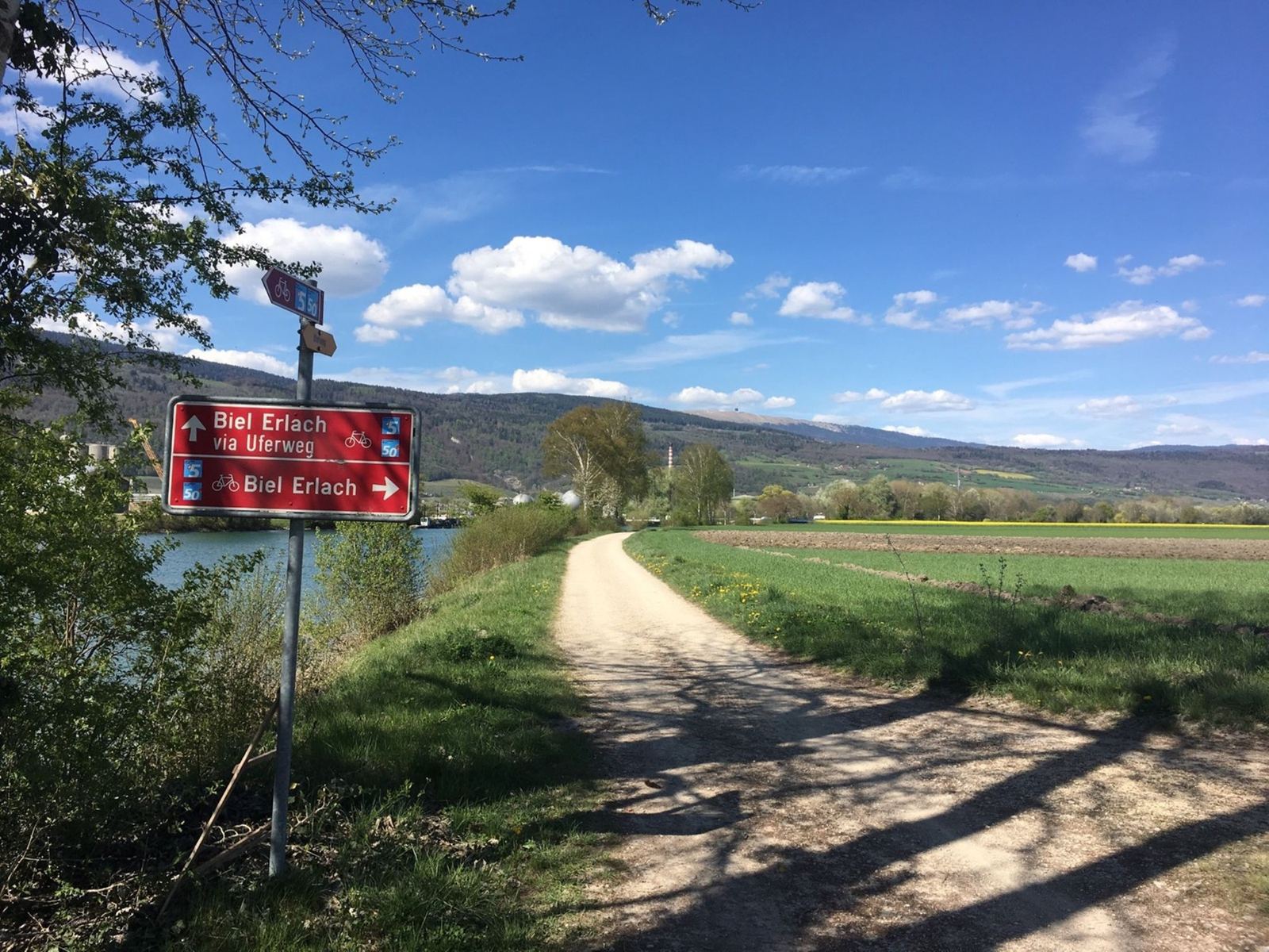
I left at 14:02 and went south through Kallnach and across the flat fields of the Grosses Moos to Galmiz, then onto the shore of Lake Murten at Muntelier, just north of Murten town, at 14:47. From there the route follows the lake up to Sugiez, where the Broye canal leaves for Lake Neuchâtel, and then turns north across the farmland to Ins.
Erlach For Coffee
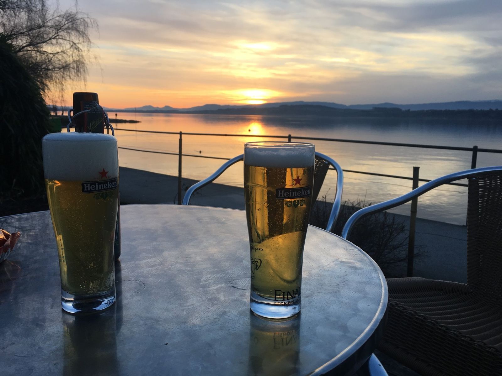
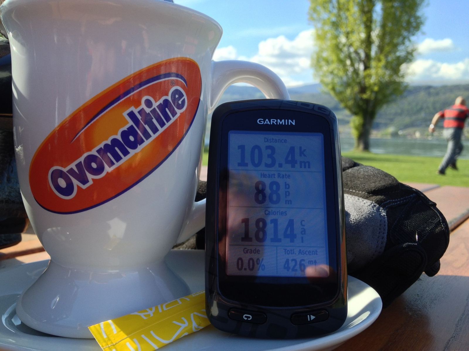
From Ins it's along the canal past Thielle to Erlach, at the bottom end of Lake Biel, where I stopped for 20 minutes at 16:01. That was the whole point of the ride, and it's the same lakeside café I've stopped at for years; a few of the visits are below.
Over The Jolimont And Home
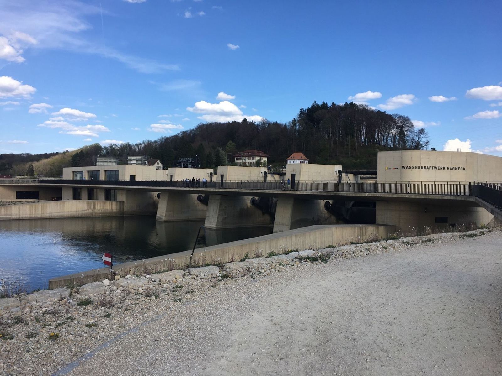
The only climb of the day comes straight after the coffee: up out of Erlach over the Jolimont, the wooded hill behind the town, to 536m. It's only about 90m, but it's enough to feel after sitting down. Then it's downhill to Lüscherz and back past Hagneck and Walperswil to Bargen at 17:12. 63.7km and 342m of climbing, which makes it the flattest of the home-turf rides on this site.