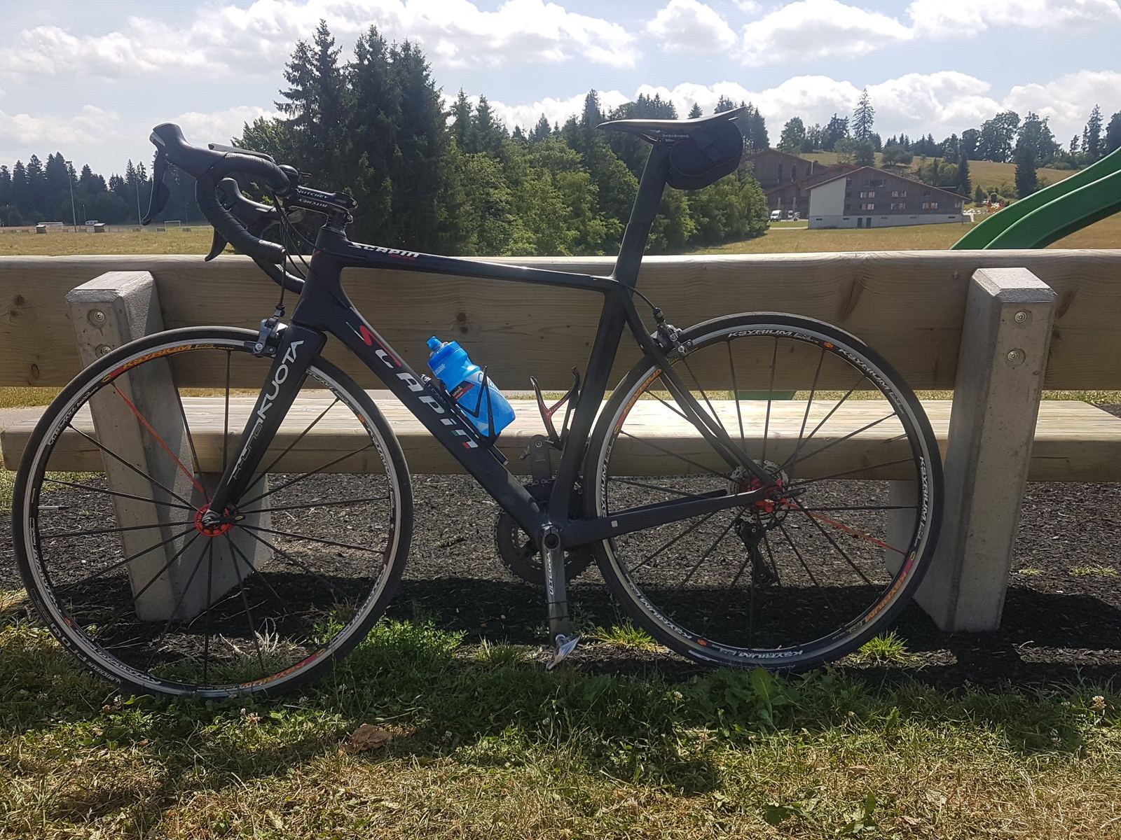
A day out with Josh from Saignelégier: down to the Doubs at Goumois, across into France through Charmauvillers and Damprichard, back over the border at La Goule and up to Le Noirmont. 62km and 1,293m on the road bikes. In five words: great day on the bike.
Not every ride here is solo. On Saturday 6 September 2014 I rode with Josh, from where the camper was parked at Saignelégier. We were up early: the photo at the top of this page is the sunrise beside the camper at 07:14. The ride note is short and to the point: "Great day on the bike..."
Two Countries In One Ride
From the Franches-Montagnes the French border is never far away: it runs along the Doubs, so every road down to the river at Goumois or La Goule is also a way into France. On the far side is the Plateau de Maîche in the French département of Doubs, villages like Charmauvillers, Cernay-l'Église and Damprichard, farmland at around 800 to 900m. A loop that goes down to the river, crosses, rides the French plateau and crosses back is the classic way to see both.
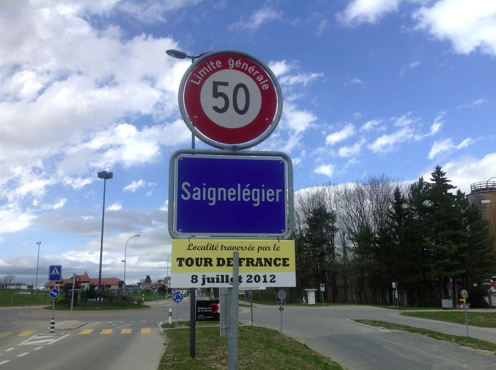
Saignelégier itself had had the Tour de France through two years before. A sign at the entrance to the town in April 2012 announced it: the Tour on 8 July 2012. That was stage 8, from Belfort to Porrentruy, over seven climbs of the Jura, the last the Col de la Croix, won by Thibaut Pinot.
The RideSaignelégier, Goumois, France And Le NoirmontSaturday 6 September 2014
How The Day Went
7.2km−426m6% average
10.3km494m → 926m+432m
24kmseveral short stops
5.1km−375m7.4% average
7.9km+402m5.1% average
26 min
7.5km
We set off at 09:21 and dropped straight off the plateau to Goumois, 426m down in 7km at about 6%, which on a cool September morning wakes you up. Over the bridge into France and the first climb, 10km and 432m up to Charmauvillers. Then a long, easy stretch round the French plateau through Cernay-l'Église and Damprichard and back, with a few stops along the way, before plunging back down to the Doubs at La Goule, 375m in 5km at over 7%.
Back over into Switzerland, the last climb was the one up to Le Noirmont, 402m at 5%, and then a proper stop there for nearly half an hour before the flat run back across to Saignelégier at 13:31. 62.2km and 1,293m. A great day on the bike.