Three times down to the Doubs and three times back up onto the plateau: La Goule to Saignelégier, Soubey to Les Enfers, and Goumois to Le Noirmont. 69km, 1,692m, and only 2% left on the battery at the end.
The Franches-Montagnes plateau sits about 500m above the Doubs, and every road down to the river is a climb back up. On Wednesday 15 June 2022 I did three of them in one go. My note: "3 climbs today with only 2% left on the battery when I finished so almost had to close the ride early. It does not get any easier....."
The Doubs Below The Plateau
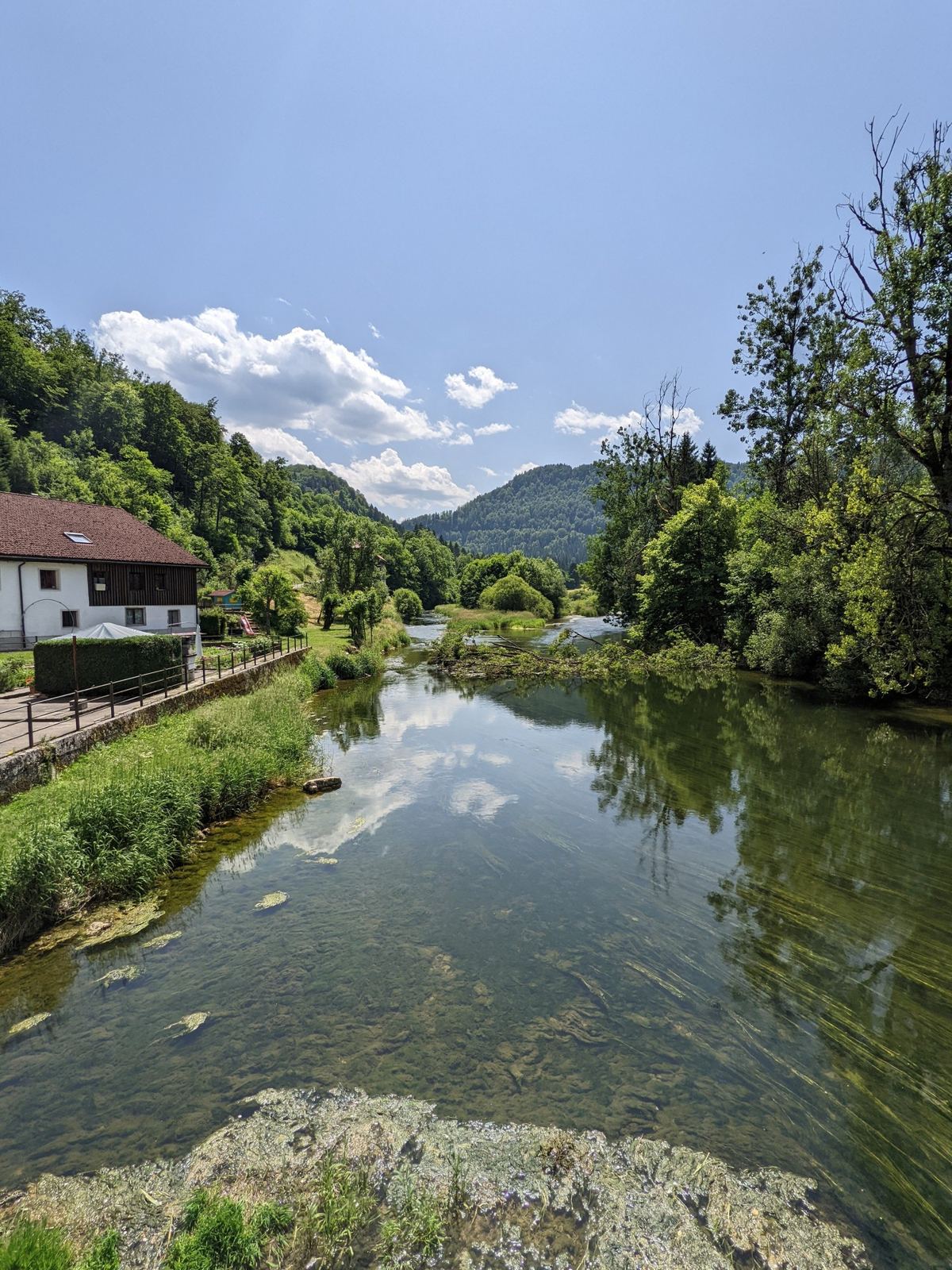
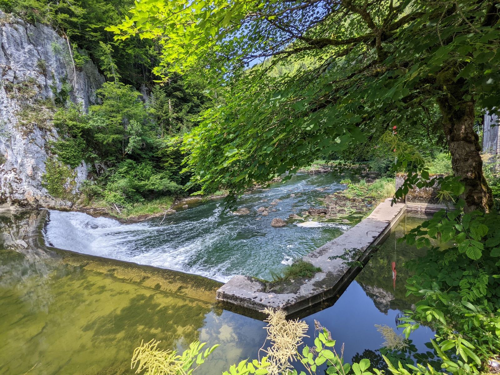
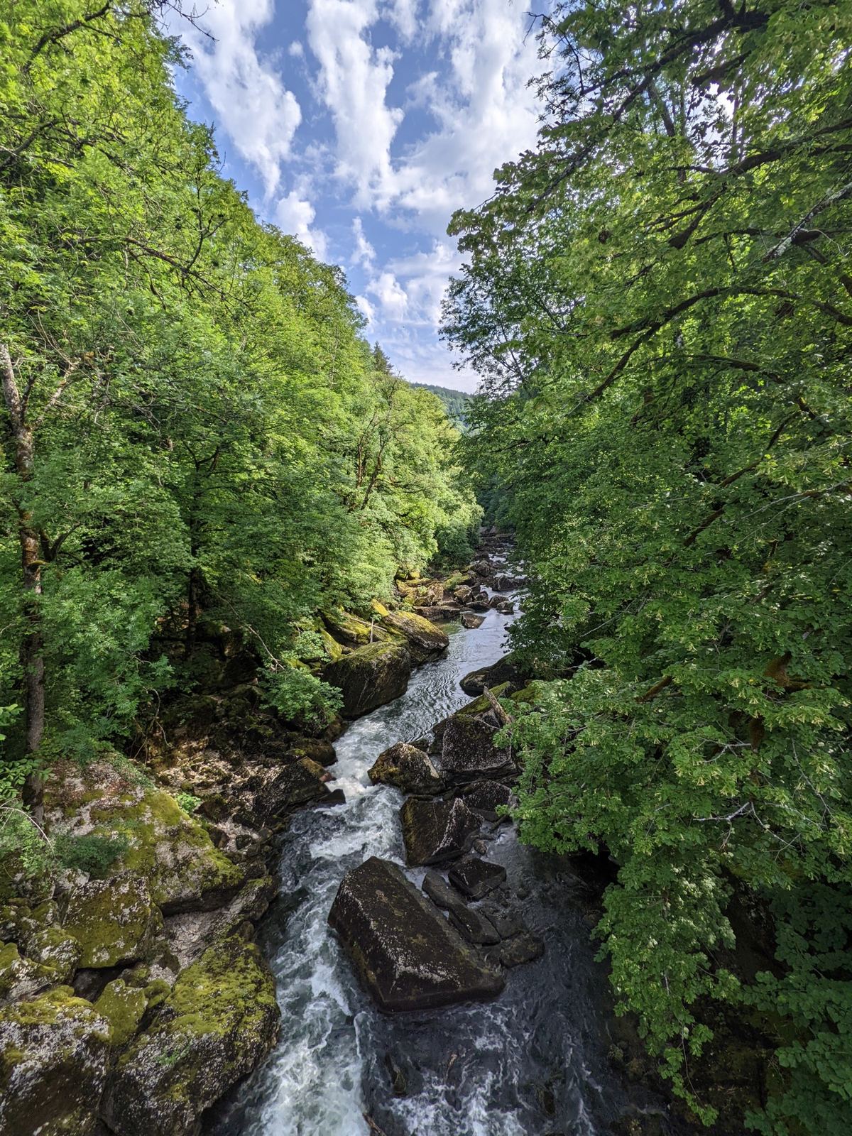
The Doubs is a big river: 453km from its source near Mouthe in the French Jura to the Saône, the tenth longest river in France. Upstream it forms the Swiss–French border, through the gorges below the Saut du Doubs, a 27m waterfall, and past Goumois and La Goule. Around Soubey it turns away from the border and runs through the canton of Jura for about 20km towards Saint-Ursanne before heading back into France. This ride touches it at three points: La Goule and Le Theusseret, where the old power stations are, Soubey, and Goumois.
The RideThree Climbs From Le NoirmontWednesday 15 June 2022
How The Day Went
10.5km973m → 514m
9.5km+465m4.9% average
21 min
16km→ 491m
9.5km+457m4.8% average
19 min
11.4km→ 515m
9.5km+428m4.5% average
La Goule And Climb One
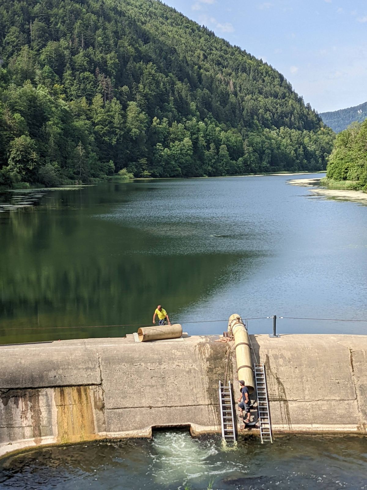
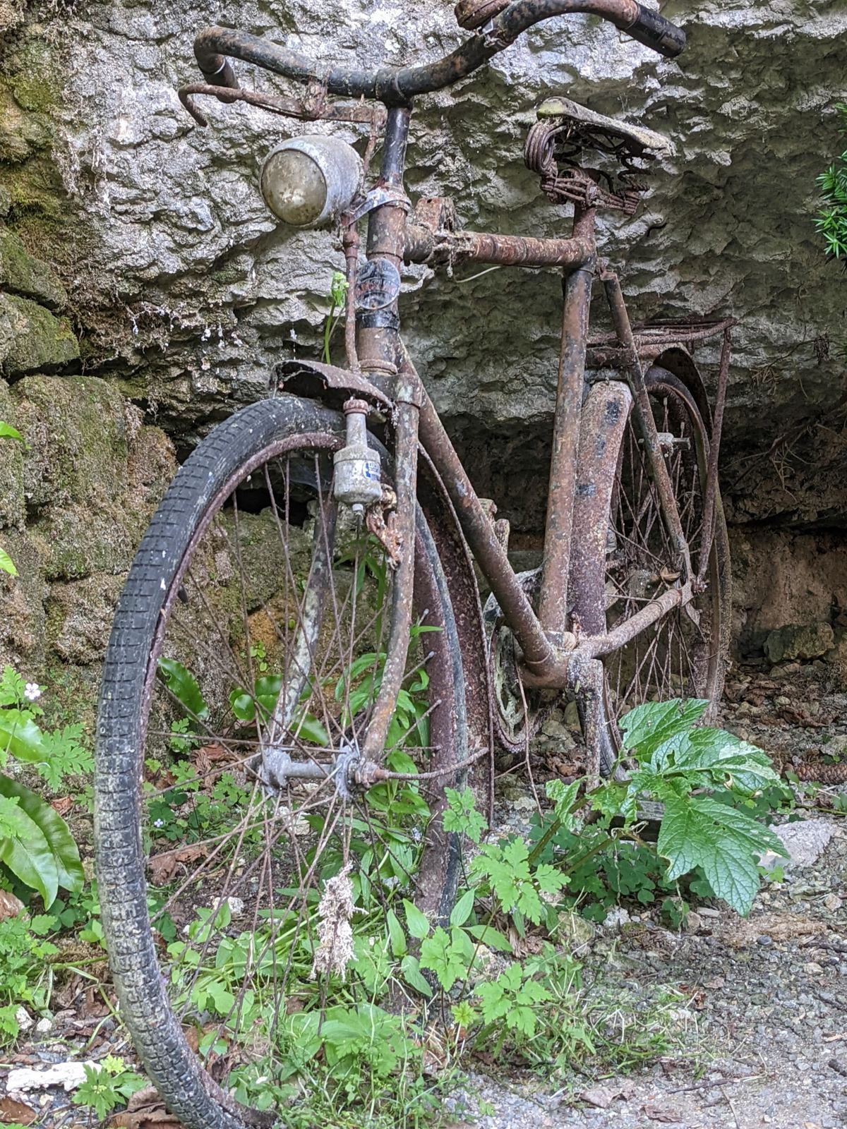
Straight down from Le Noirmont at 10:11 to the Doubs at La Goule, where I stopped for photos of the lake above the dam at 10:23, and on downstream past Le Theusseret. Then climb one, 9.5km and 465m back up to Saignelégier at nearly 5%, and a stop in town at 11:28.
Soubey And Climb Two
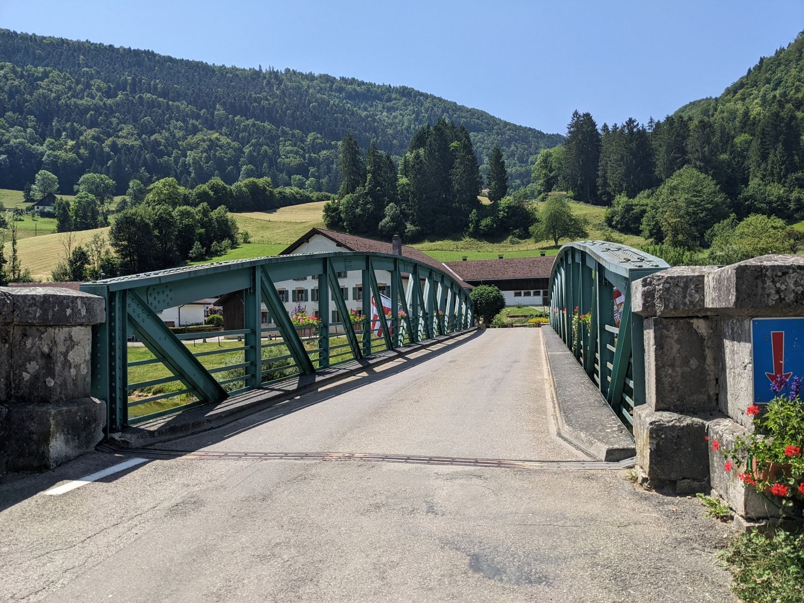
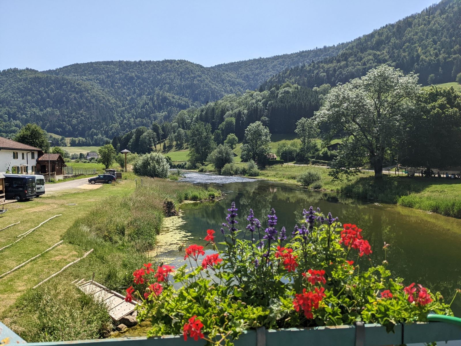
From Saignelégier the route goes north through Les Pommerats and Les Enfers and then all the way down to the Doubs at Soubey, the lowest point of the day at 491m, at 12:22. Soubey is a lovely spot: a green iron bridge over the river and flower boxes on the parapet. Then climb two, 9.5km and 457m back up through Chandolat to Les Enfers, and a long stop at La Plaine-Joux.
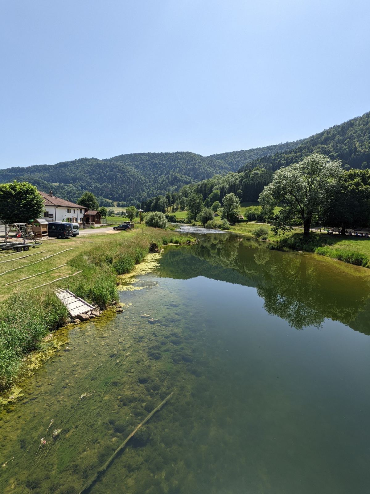
Goumois And Climb Three
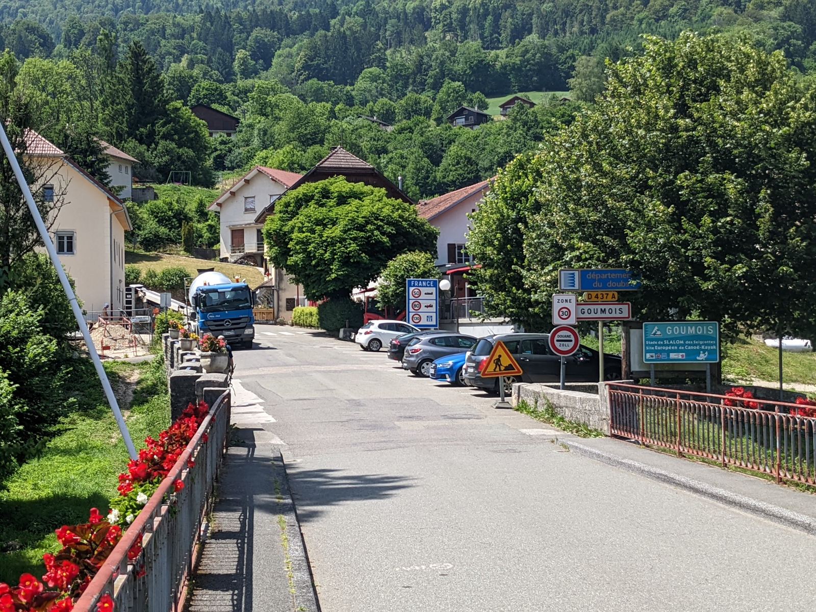
The third descent comes down through Geneveries to the river at Goumois at about 14:00, then follows the Doubs downstream to Creux du Gros Gipoux, and the last climb goes back up past La Goule to Le Noirmont: 9.5km and 428m. I finished at 15:07 with 69.1km, 1,692m and three climbs in the legs, and 2% on the battery.