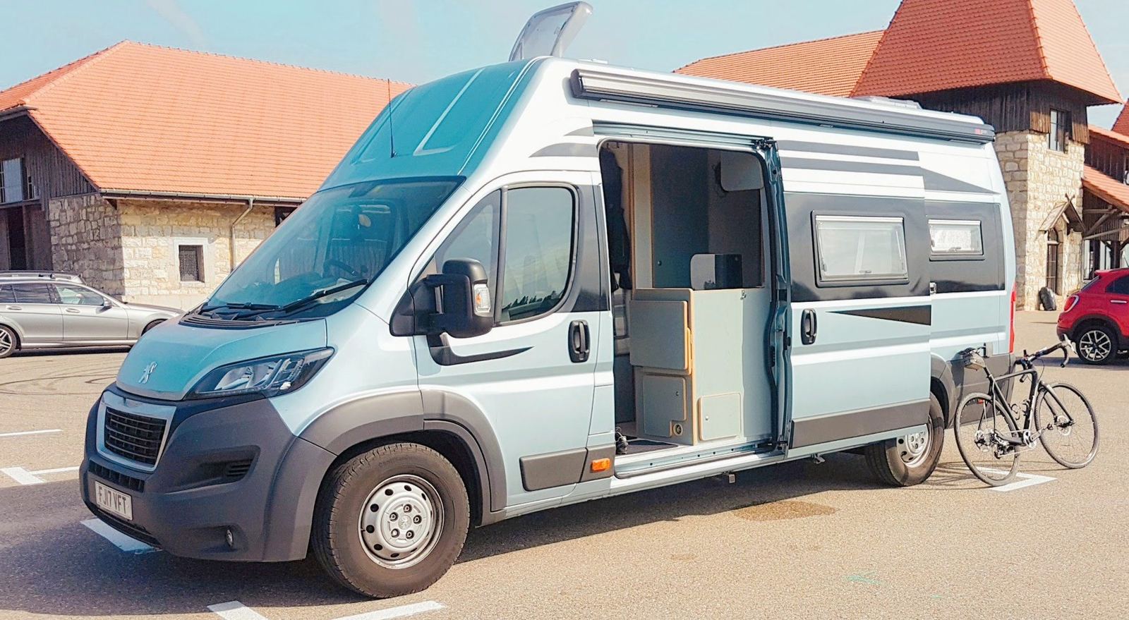
The short one: a quick spin from Saignelégier down to the Doubs at La Goule and back up, on the last morning of a week in the camper. 27km and 501m, on a road too narrow for anything bigger than a van, so hardly any traffic at any time of day.
Not every ride needs to be a big day. This was the last morning of a few days at Saignelégier in early August 2018, and I wanted a few more kilometres in the legs before we drove home. My note: "A quick spin for a few more kms in the legs before going home. This is a great little climb as the road is too narrow for anything bigger than a van so not a lot of traffic on it in either direction at all times of the day..."
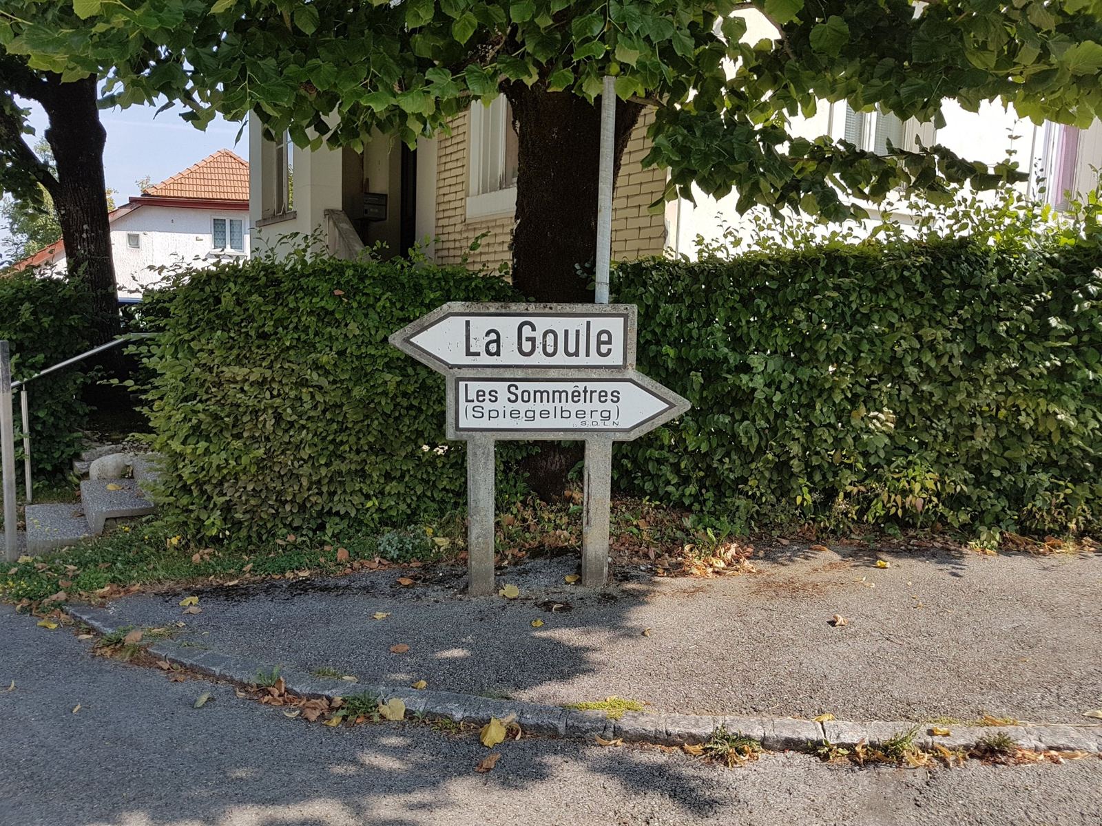
La Goule
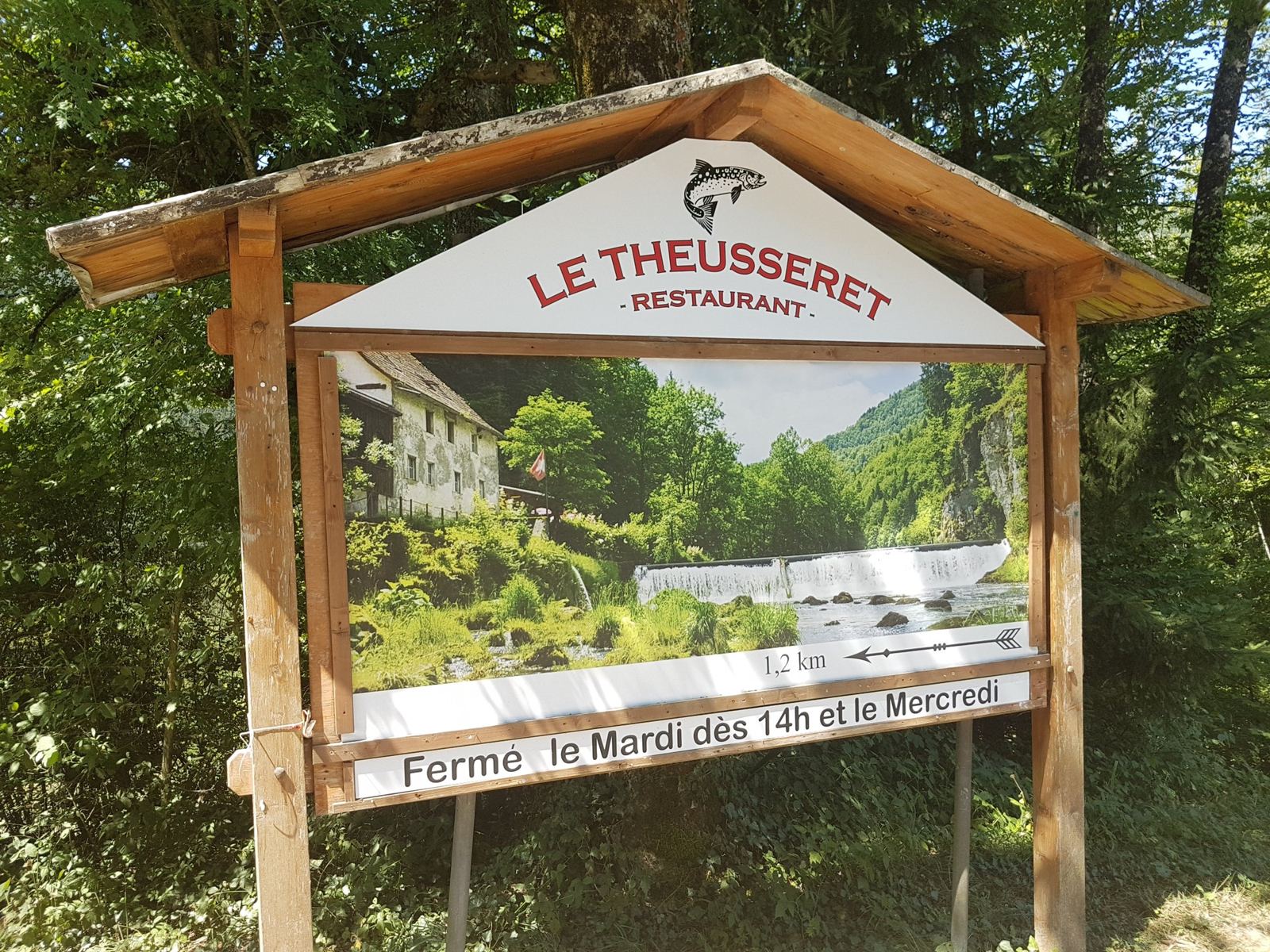
La Goule is a hamlet at the bottom of a deep wooded bend of the Doubs, below Le Noirmont, where a bridge crosses the river between Switzerland and France. It has a well-known restaurant, and a power station that is older than almost anything else on this river. The Société des forces électriques de La Goule was founded in 1893, on the strength of an 1891 French permit to divert water from the French side of the Doubs, and the plant opened in 1894: 2,700kW from a 27m head of water. The dam it uses is partly natural, a rockfall left by a medieval earthquake, raised by about 2m in 1955. About 3.4km downstream is a second old plant, Le Theusseret, a sawmill that was converted to hydroelectric power in the same year, 1894.
The RideSaignelégier To La Goule And BackSaturday 4 August 2018
How The Day Went
6kmabout 1,000m
7km→ 565m
8km+400mhardly a car
5km
I left Saignelégier at 10:43 and rode across the plateau through Les Emibois to Le Noirmont, then dropped off the edge on the narrow road down to the river. It's quick: 13.4km and 406m down from Saignelégier in about half an hour. La Goule at the bottom, 565m, at 11:16, and then straight back up the same way, 13.4km and 403m at about 3% overall, steeper on the narrow section below Le Noirmont. Back at the camper at 12:13: 27km in an hour and 19 minutes of riding.
Three Ways Out Of La Goule
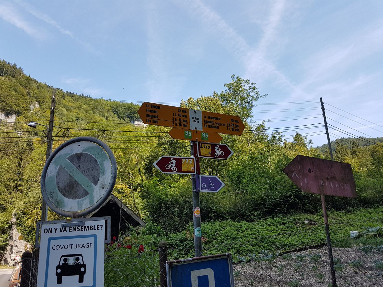
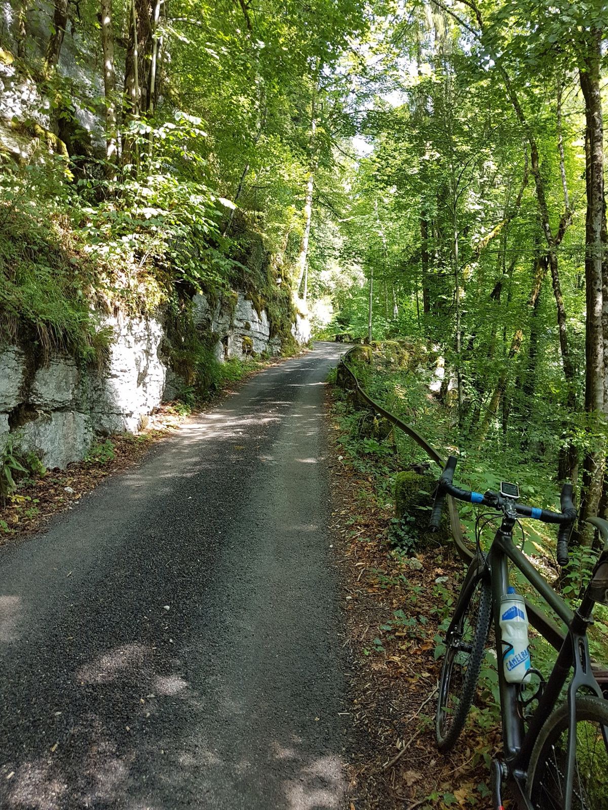
The ride down from Le Noirmont to La Goule is a stunning one, because there are hardly any cars travelling either way. There are no trucks at all: they can't get past the rocks at the bottom. At the base there's a lovely restaurant by the river and the bridge into France, and from there you have three choices.
- Back up the same road to Le Noirmont: a lovely climb, 7.7km from 565m to 970m, with the road to yourself. That's what I did on this ride.
- Across the dirt track to Goumois, 5.9km along the Doubs, almost flat, and then back up along the main road from Goumois towards Saignelégier.
- Across the bridge into France and round that way. The short climb into France, about 2km up to Charmauvillers, is brutal; anyone who does it will see what I mean. I've done it on another of my routes here, the Le Noirmont France loop, where it took me 17 minutes for those two kilometres.
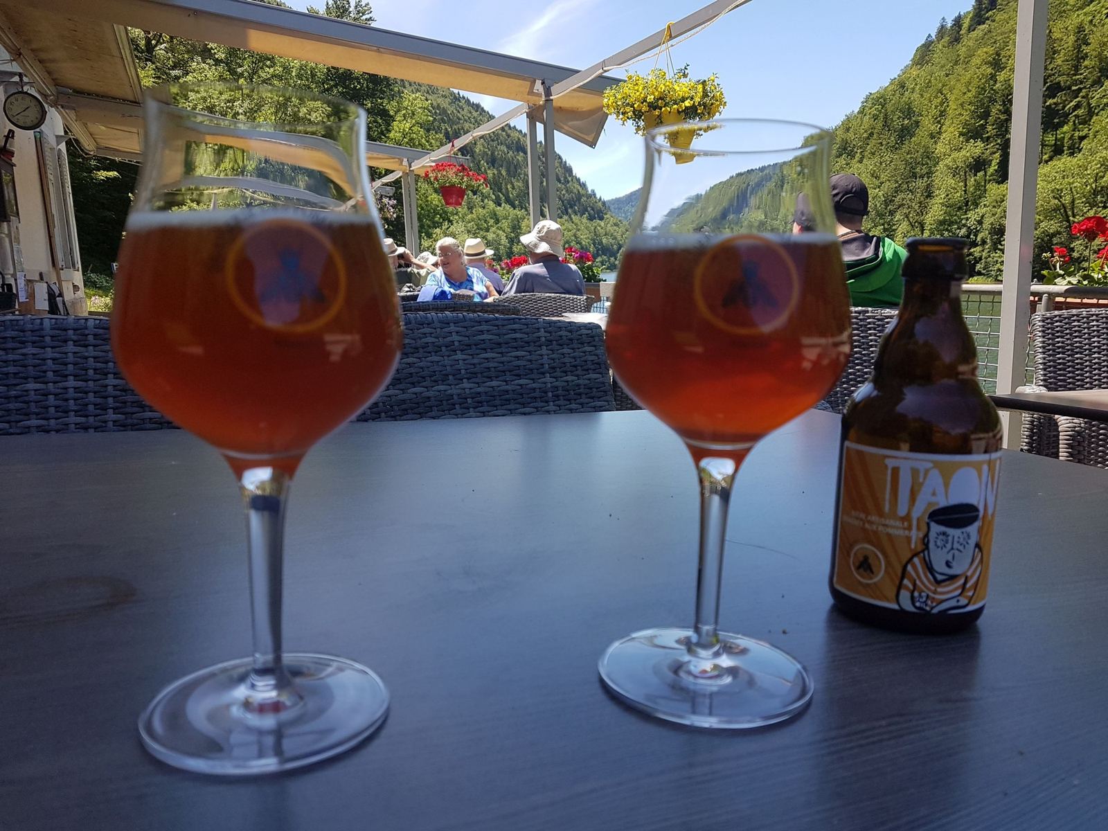
There are no photos from the ride itself, but we'd been down to La Goule earlier the same week, so these are from 1 and 2 August 2018.