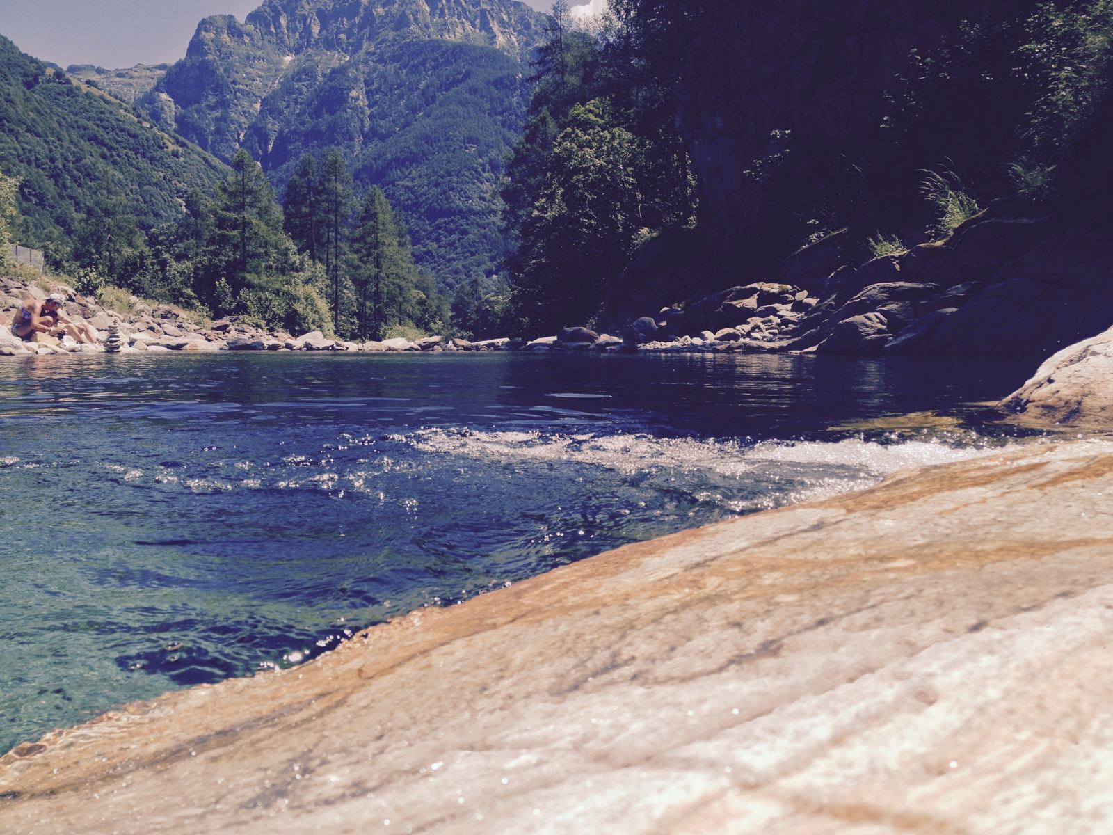
The whole length of the Verzasca valley and back: down from Sonogno at the top, past Brione, Lavertezzo and the dam to the mouth of the valley near Lake Maggiore, then the long steady climb all the way back up. 56km, and my first ride in the valley.
The Verzasca is the kind of valley you see on posters of Ticino: green water, white granite, old stone villages. In July 2015 we stayed at the top end, by Sonogno, and on Wednesday 8 July I rode the whole thing. My note afterwards: "Lovely ride in the Versasca Valley. Will be back there later this year for more. Stunning...." (I did go back, four years later; see the Tenero rides.)
The Verzasca Valley
Valle Verzasca runs for about 25km, north to south, in the Locarno district of Ticino, from Sonogno at its head down to Lake Maggiore near Tenero and Gordola. It's made up of eight municipalities with only around 3,200 people. The river Verzasca carved it, and at the southern end it's held back by the Verzasca Dam to form Lago di Vogorno. The villages strung along it are Vogorno, Corippo, Lavertezzo, Brione, Gerra, Frasco and Sonogno; Corippo is Switzerland's smallest municipality.
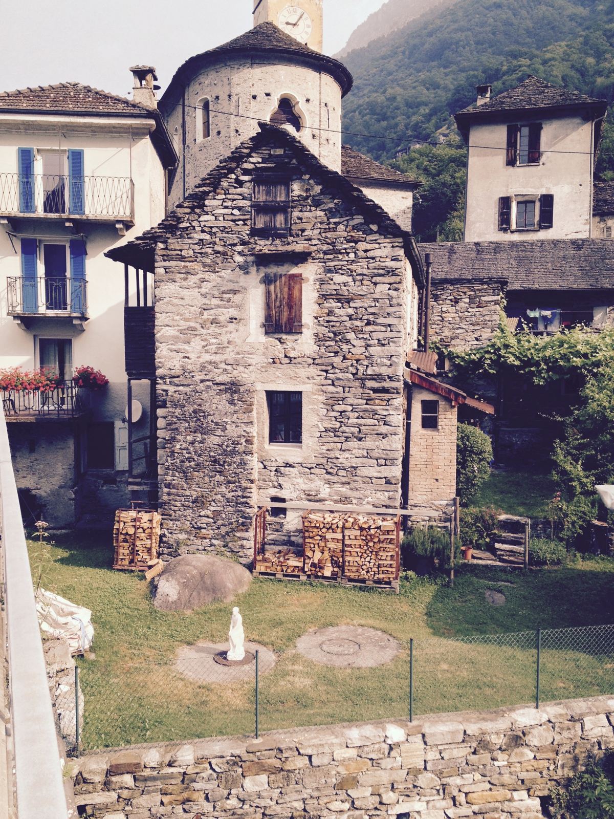
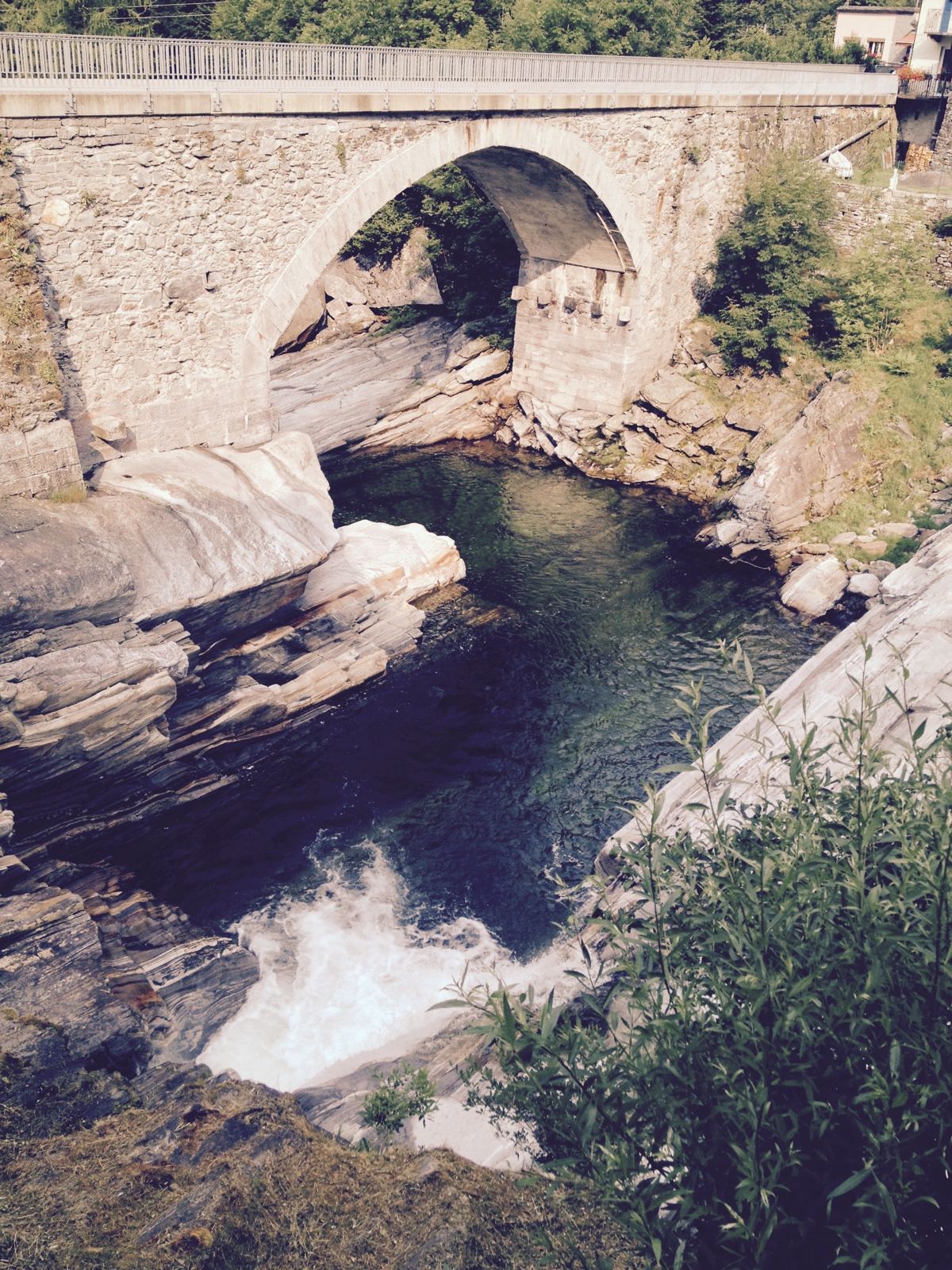
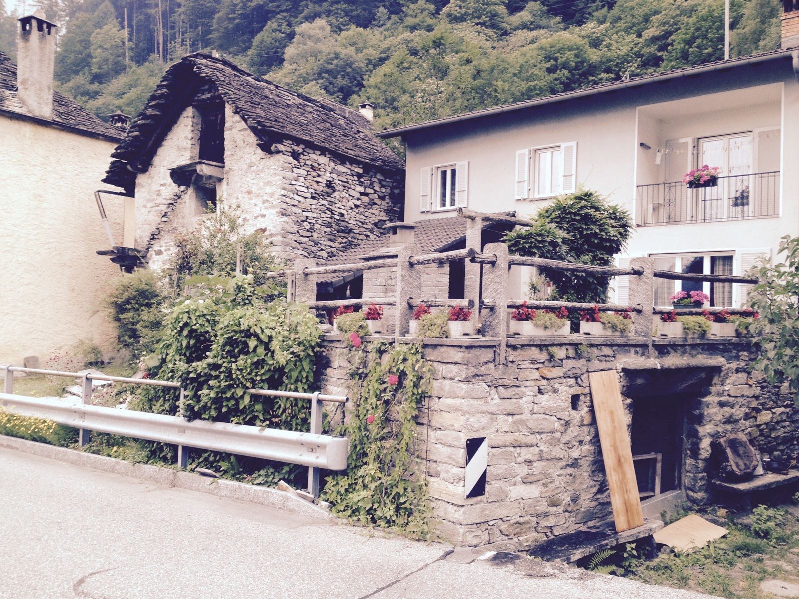
The traditional houses here are rustici: grey stone farmhouses with white window borders and heavy stone roofs. Life in the valley was hard. From the early 17th century many people left for seasonal work elsewhere, young men were often recruited as mercenaries, and the valley was the home of many of the spazzacamini, the child chimney sweeps who went to work in the cities of northern Italy. Tourism began at the end of the 19th century and is now the main industry. At Lavertezzo the Ponte dei Salti, an old two-arched stone bridge, crosses the river; it was partly destroyed in 1868 and rebuilt in 1960.
The RideSonogno To The Mouth Of The Valley And BackWednesday 8 July 2015
How The Day Went
16km910m → 512mphotos all the way
8 min
10km→ 259m
28km259m → 987m+696m2.5% average
2km
Down The Valley
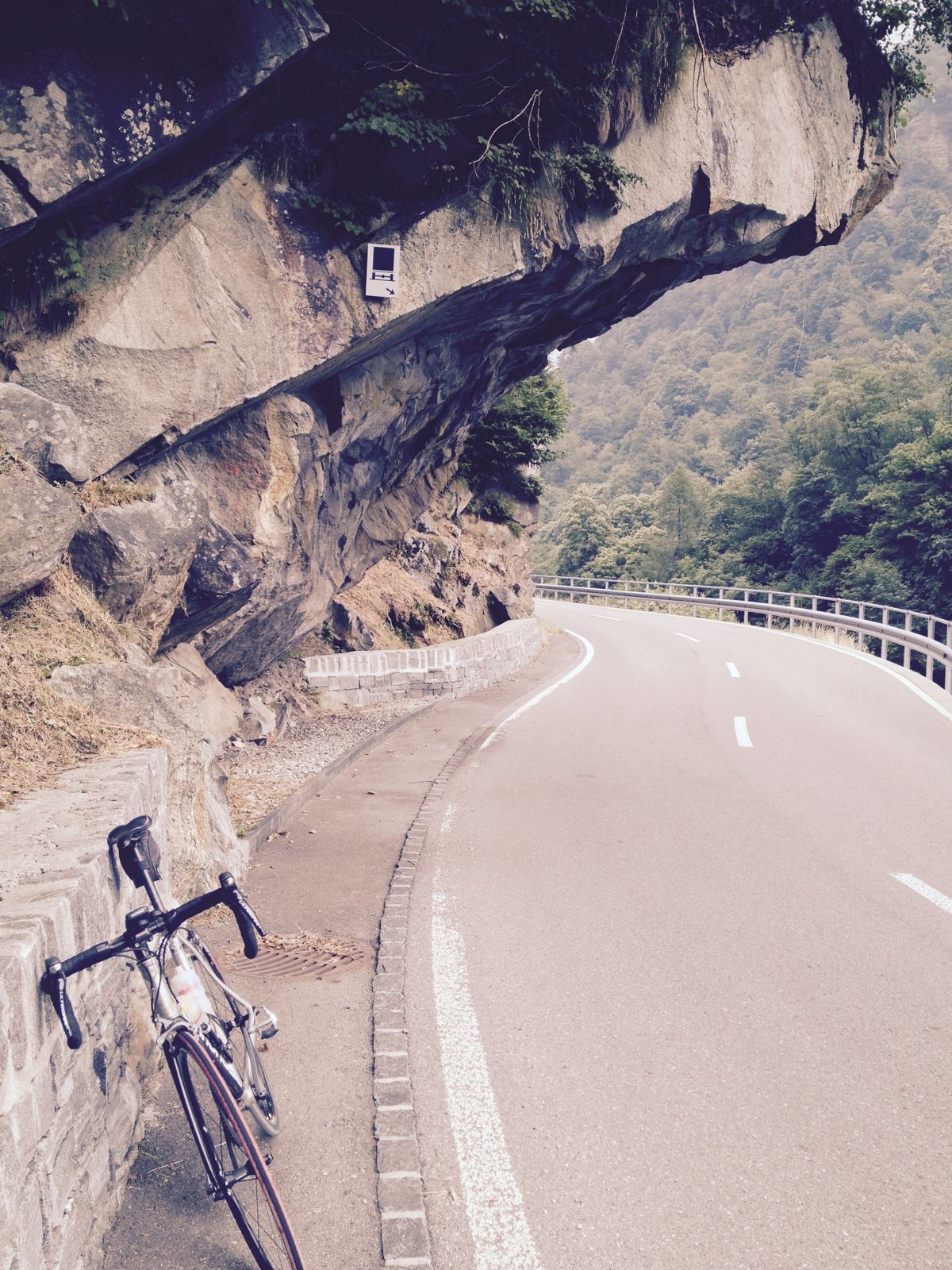
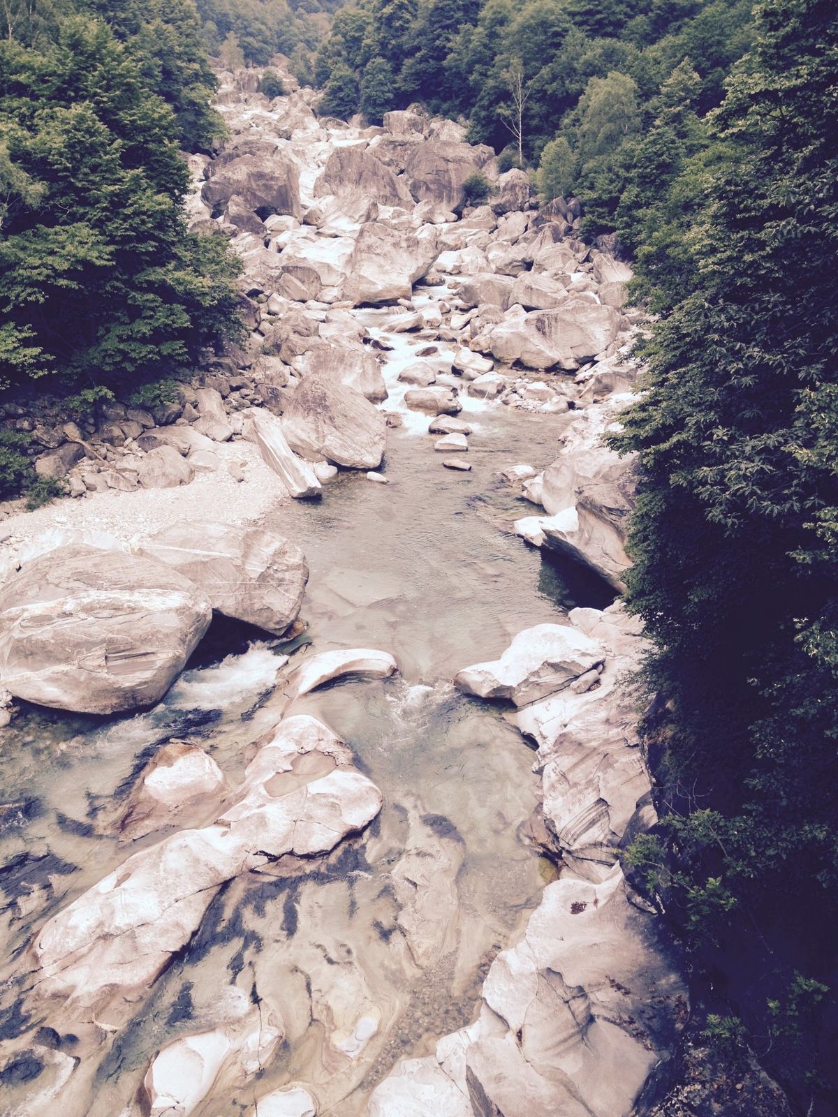
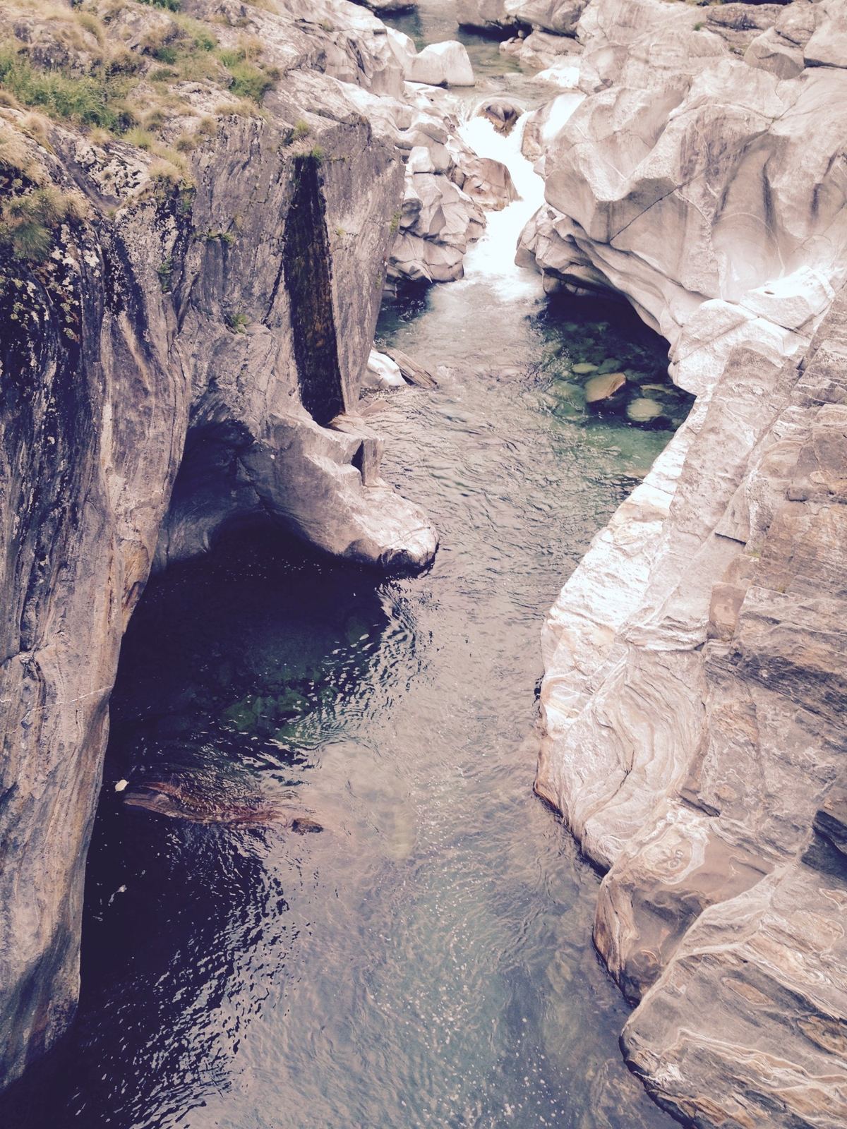
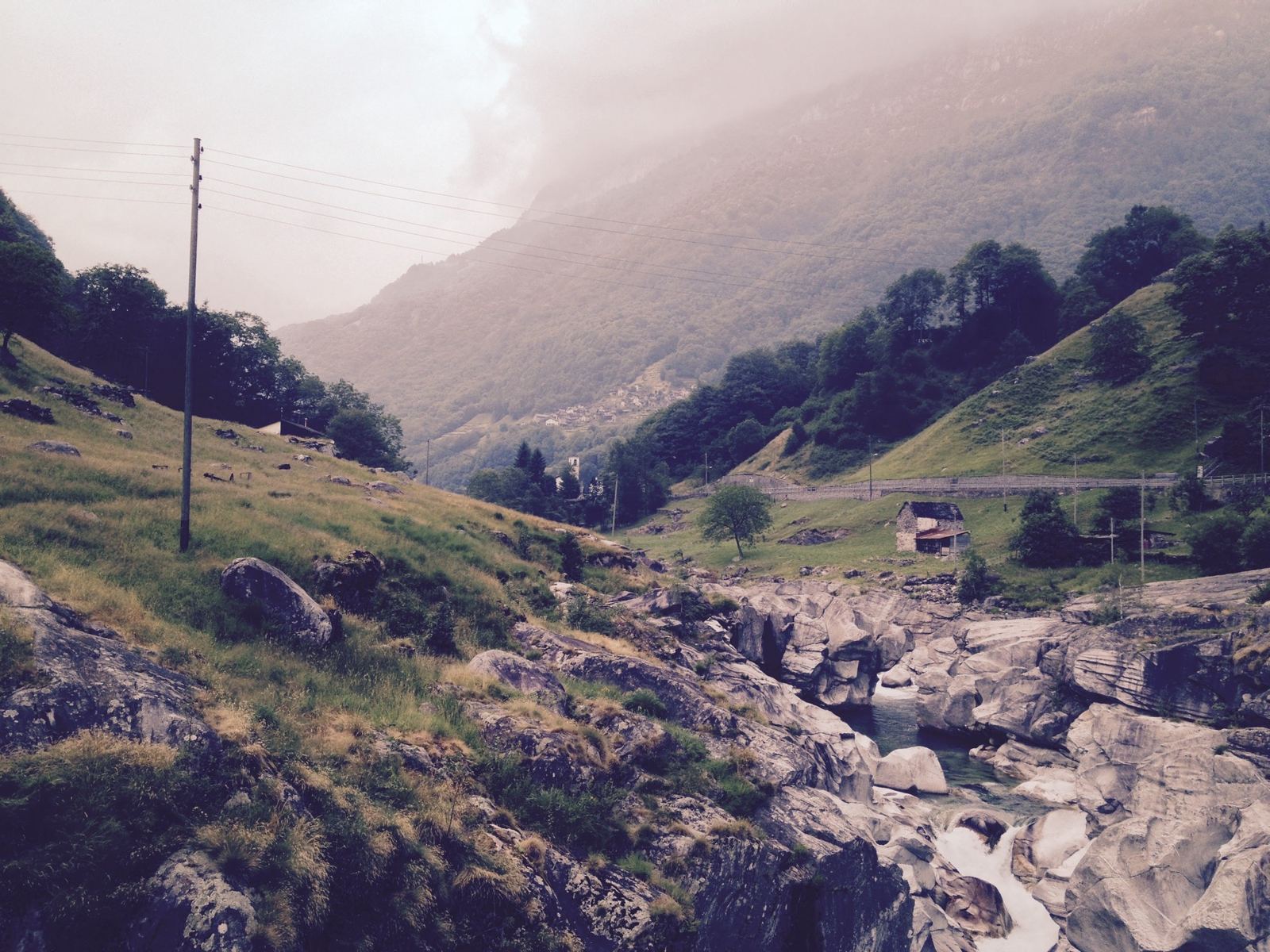
I set off from Sonogno at 08:56 and let the road take me down. It's 26km from the top of the valley to the bottom, losing about 650m, and I stopped all the time: for the old stone houses below Gerra, for the road where it runs under the overhanging rock near Brione, and for the river, which is the real show. Below Brione it runs through white granite slabs and boulders, into deep green pools.
Lavertezzo And The Dam
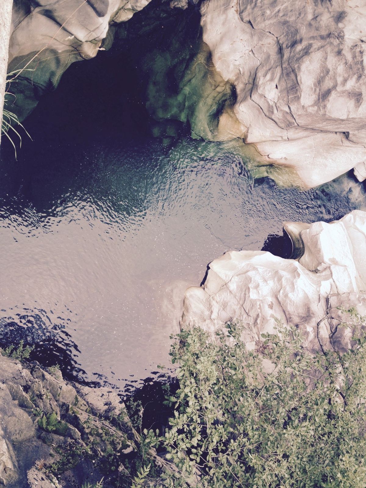
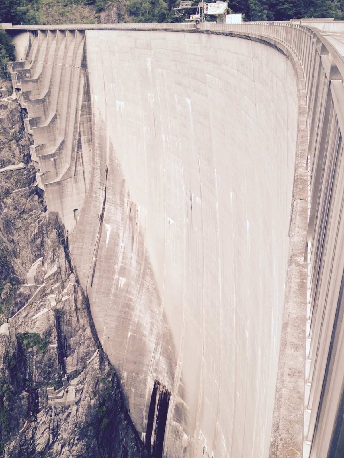
At Lavertezzo, 16km down, I stopped for a few minutes at 09:54 to look at the pools by the bridge. Then on down past Lago di Vogorno and the dam, which I passed at about 10:24, to the mouth of the valley near Gordola, at 259m and only a few kilometres from Lake Maggiore.
The Long Way Back Up
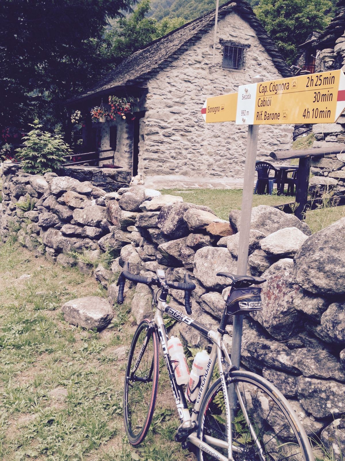
Then the price of all that freewheeling: 28km back up the valley, from 259m to 987m. It's never steep, about 2.5% on average, but it doesn't stop either, and it took an hour and a half. I was back at the top just after midday and took one last photo of the bike outside an old stone house at Sonogno at 12:08. 56.1km and 884m of climbing.
The Rest Of That Week
We had a few days in the valley. These are from the days either side of the ride.