The hardest day I have ever ridden: four passes in one loop with the lads. Up the Ofen Pass from the Swiss National Park, down into Italy, the full 48 hairpins of the Stelvio from Prato to 2,757m, over the Umbrail back into Switzerland and up the Ofen Pass again. 109km and 3,027m of climbing.
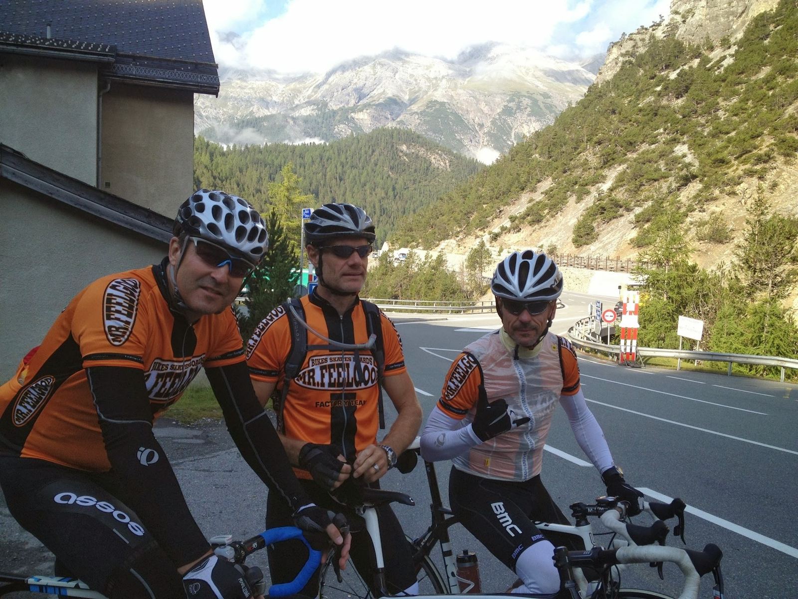
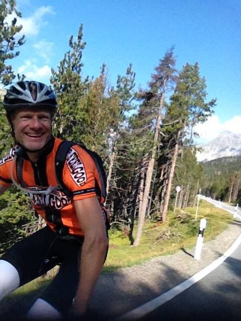
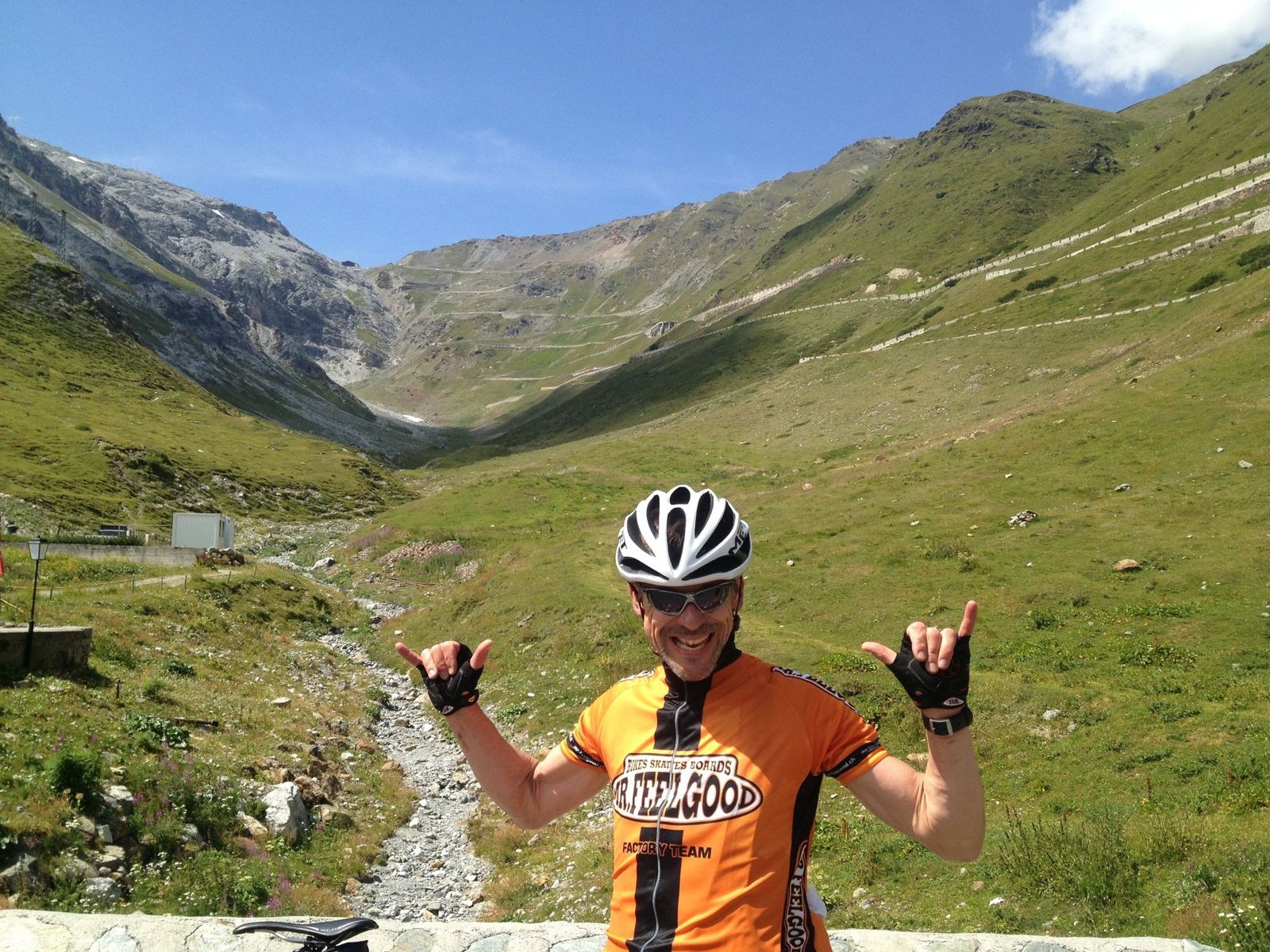
The Stelvio needs no introduction to anyone who follows cycling. On Sunday 18 August 2013 I finally rode it, as part of a big loop from the Swiss side with two friends, all of us in orange Mr Feelgood team kit. My note was short, "Great day out with the lads including the Stelvio Pass..", but the day itself was anything but: four passes, 3,027m of climbing and eight and a half hours out.
The Stelvio Pass
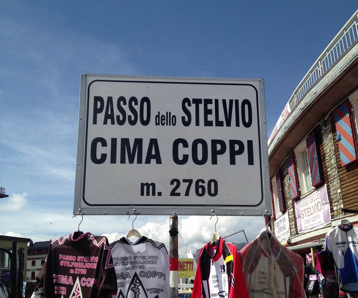
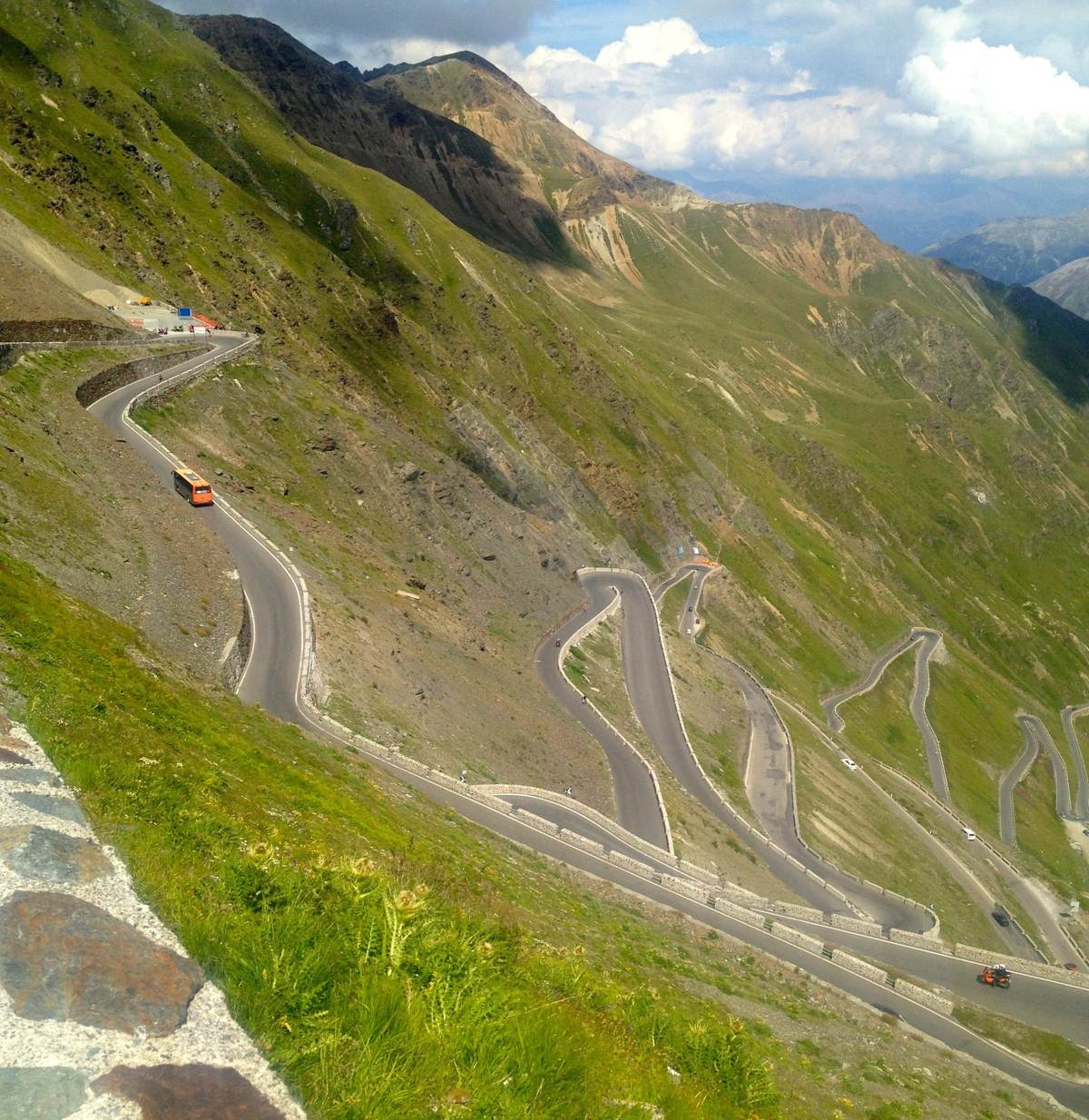
The Passo dello Stelvio, the Stilfser Joch in German, is 2,757m high: the highest paved pass in the Eastern Alps and the second highest in the whole of the Alps. The sign at the top says 2,760m. The road was built in 1820–25 by the Austrian Empire, to link Lombardy with the Tyrol, under the engineer Carlo Donegani. It's famous for its northern side, the one I climbed, from Prato allo Stelvio through Trafoi: 48 numbered hairpins, most of them tight, over 28km. The southern side down to Bormio is 22km, with 34 wider hairpins.
The Giro d'Italia first crossed it in 1953, when Fausto Coppi beat Hugo Koblet over it. Since then, whenever the Giro goes over the Stelvio it's the race's highest point, the Cima Coppi, the prize named after him. The road is only open from about May to November.
The Other Three Passes
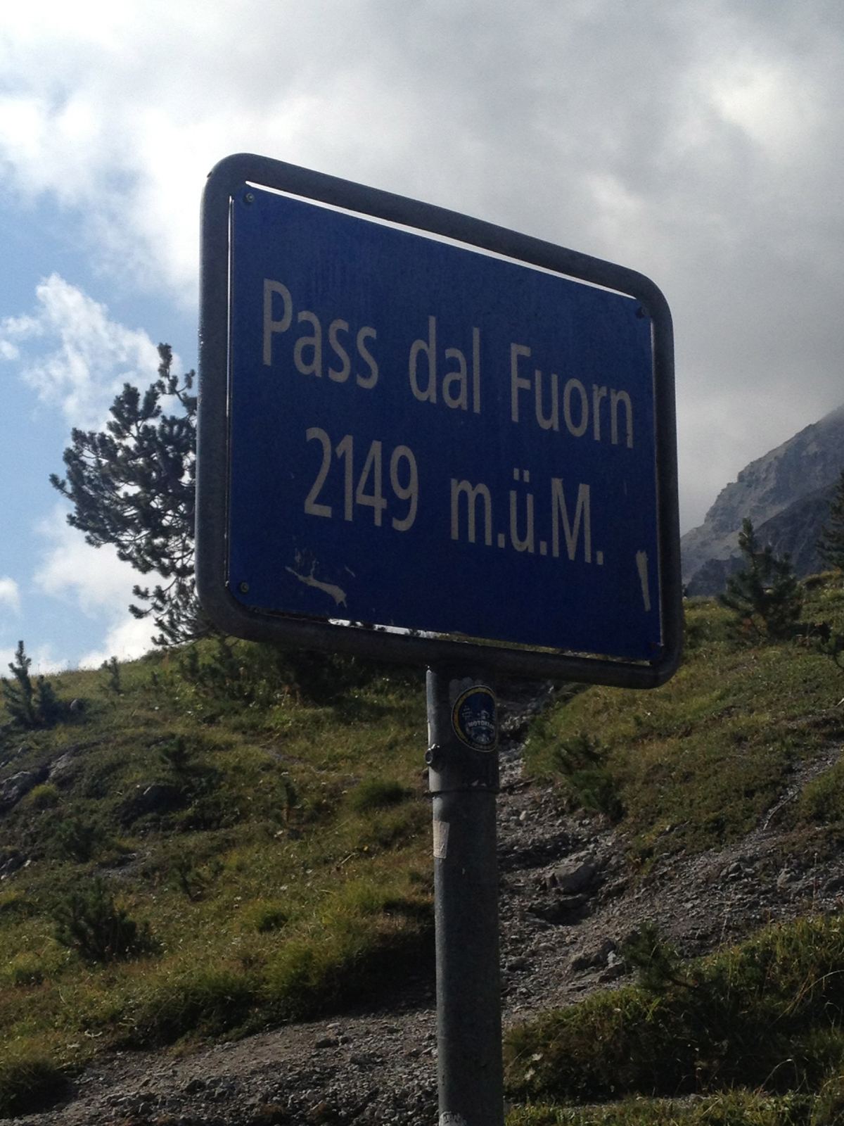
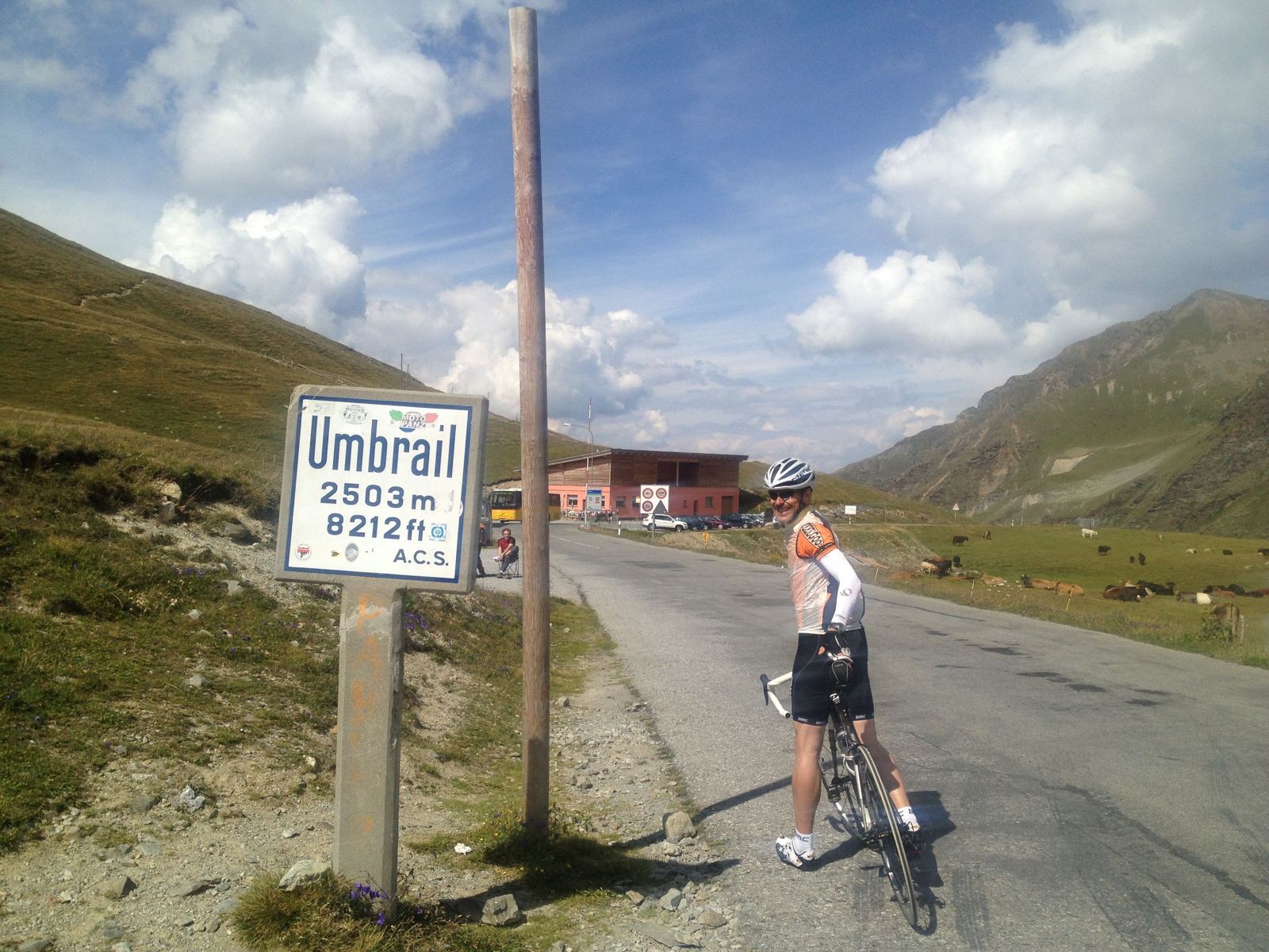
The loop starts at Il Fuorn on the Ofen Pass road, inside the Swiss National Park, the oldest national park in the Alps, founded in 1914. The Ofen Pass, the Pass dal Fuorn in Romansh, tops out at 2,149m and leads down into the Val Müstair. On the way home, the Umbrail Pass branches off the Stelvio road just below the top: at 2,501m it's the highest paved road pass in Switzerland, on a road up from Santa Maria built in 1901. It's the quiet way onto the Stelvio, and it brought us back into Switzerland.
The RideOfen Pass, Stelvio, Umbrail And Ofen Pass AgainSunday 18 August 2013
How The Day Went
9.3km+358m3.9% average
35km−1,170m
32 min
24.8km+1,740m7% average2h 12m
86 minphotos and a hug
3.5km
38 min
12.9km−1,033m8% average
13.8km+680m4.9% average
9.7km
The Ofen Pass And Down Into Italy
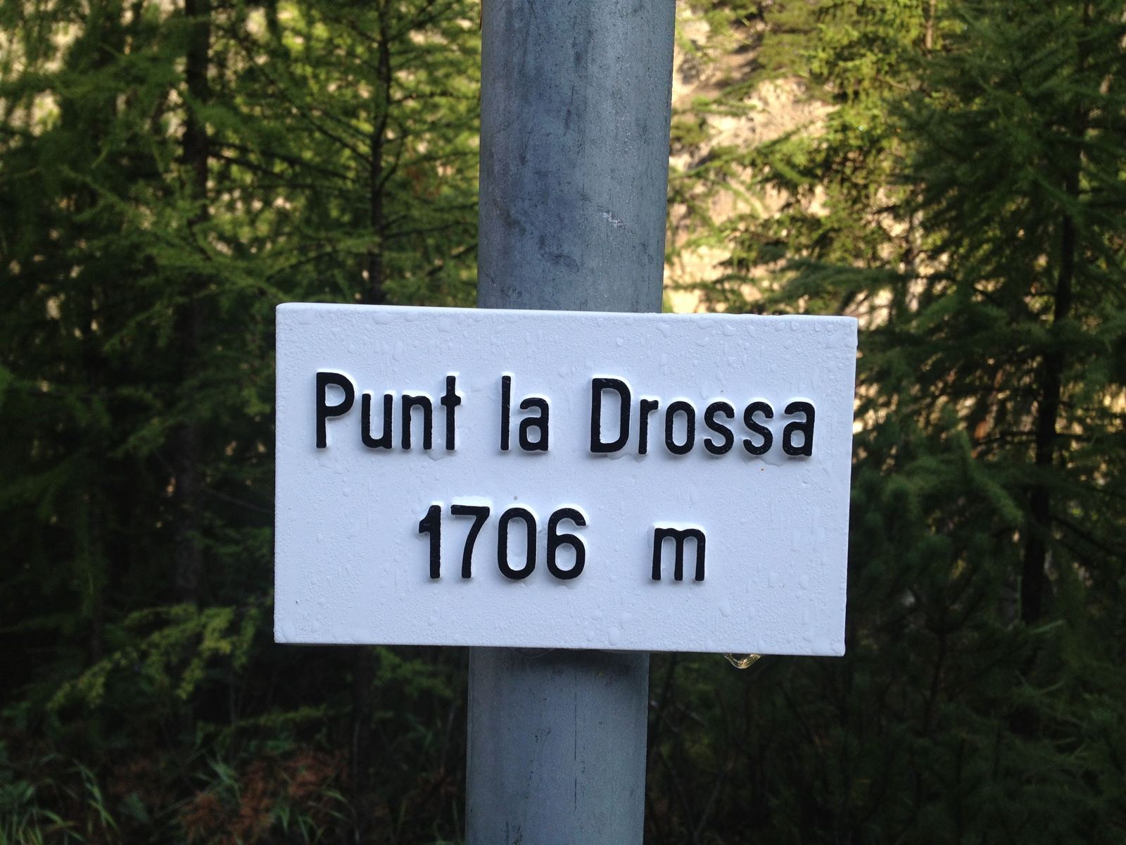
We set off from Il Fuorn at 09:15, by the sign for Punt la Drossa at 1,706m, and the first job was the Ofen Pass: 9.3km and 358m up through the forests of the National Park to the top at 09:57. Then the long descent of the Val Müstair, through Tschierv and Santa Maria, over the border into Italy at Taufers and down past the walled town of Glurns into the Val Venosta, 35km and nearly 1,200m downhill. We stopped in Prato allo Stelvio for half an hour at 10:58 before the big one.
The Stelvio
The climb from Prato is 24.8km and 1,740m at an average of 7%, and it never lets up. The first part runs up the valley through Gomagoi to Trafoi, and above Trafoi the hairpins start, all 48 of them numbered, stacked up the head of the valley. It took me two hours and 12 minutes, and I was at the top at 13:42.
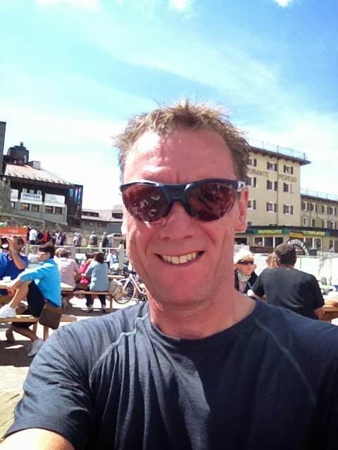
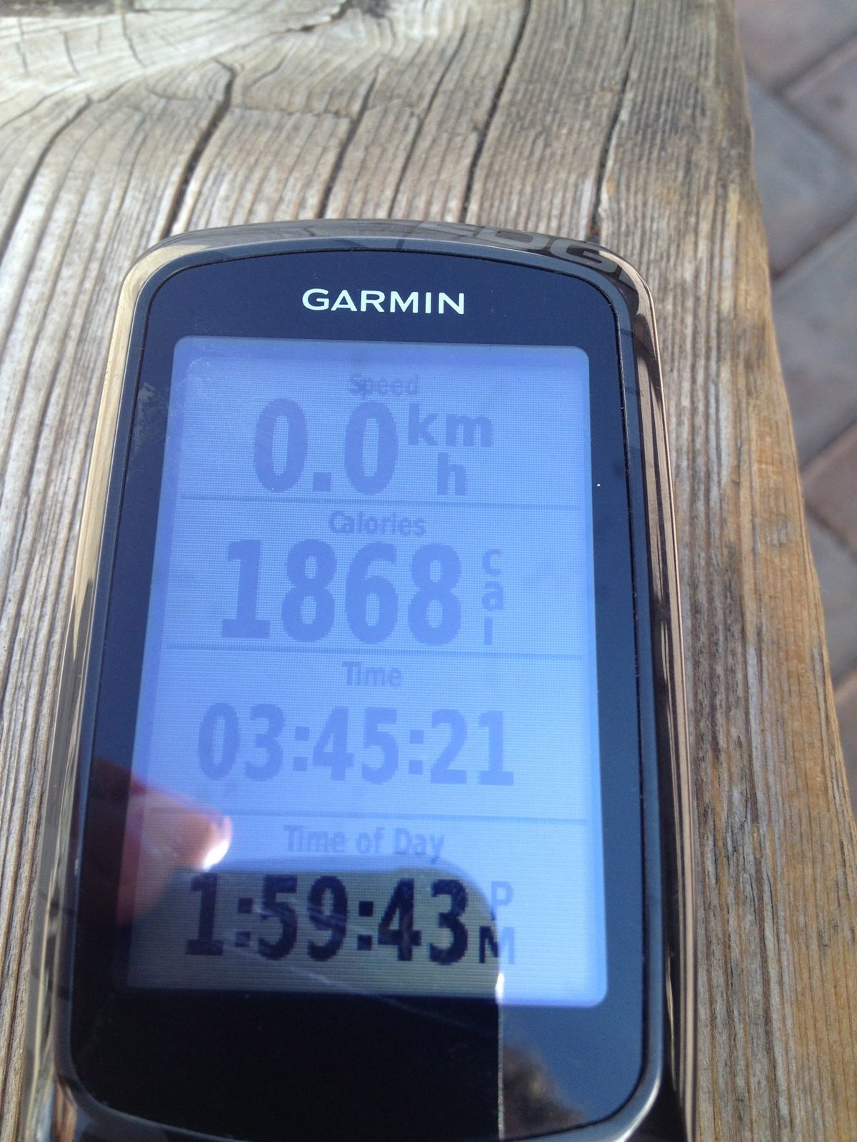
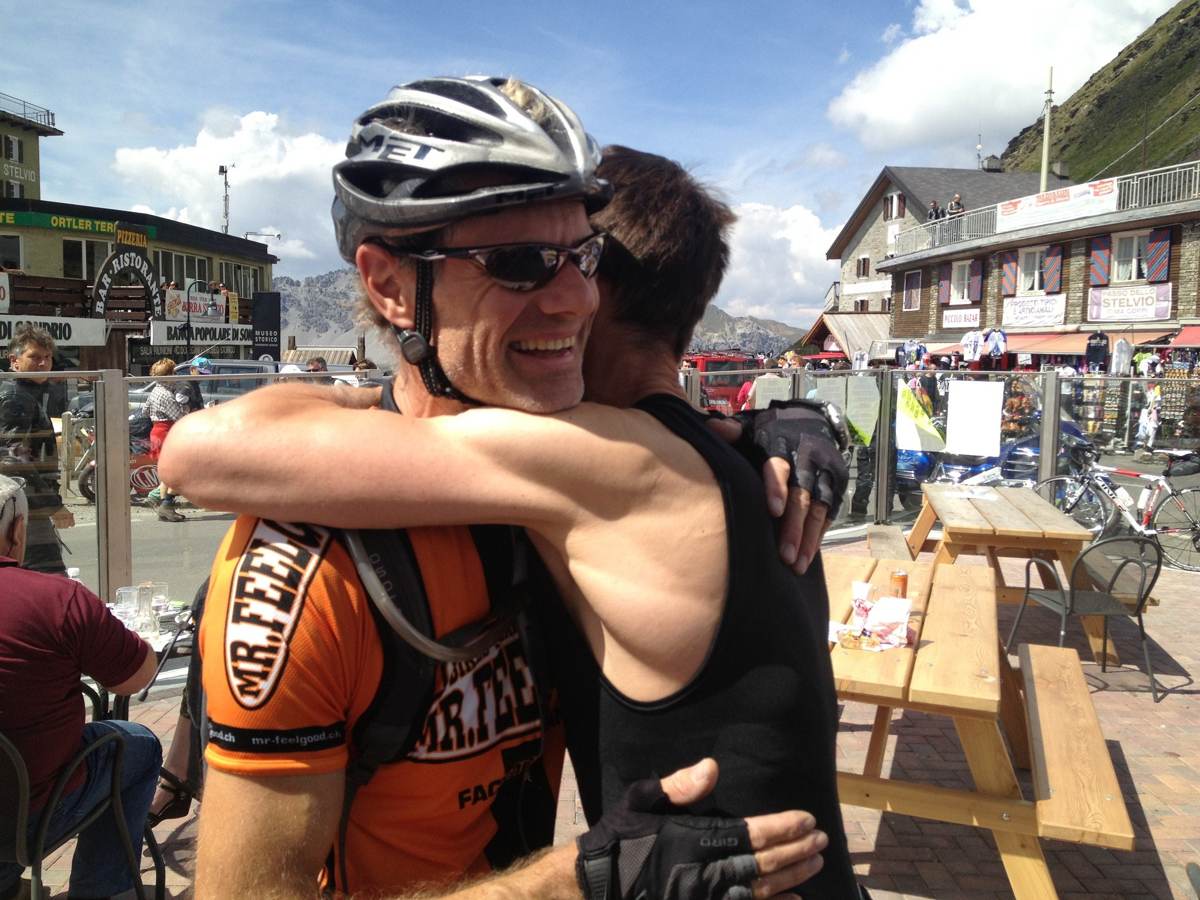
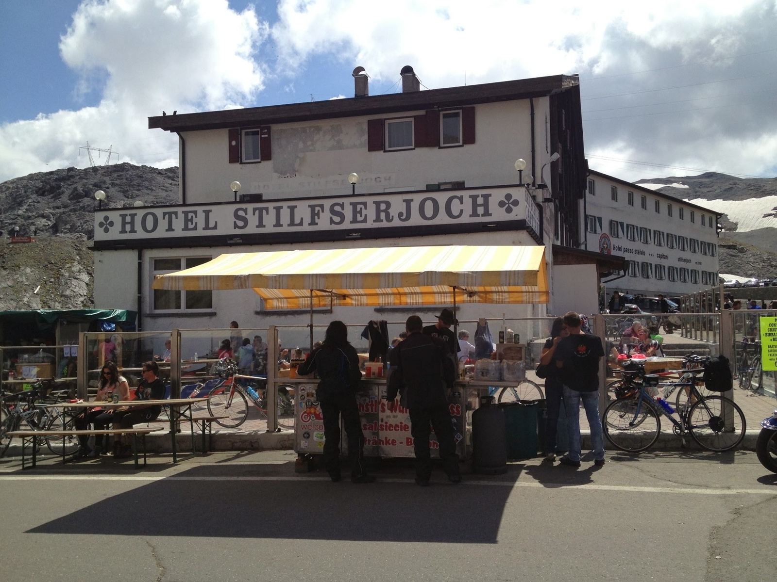
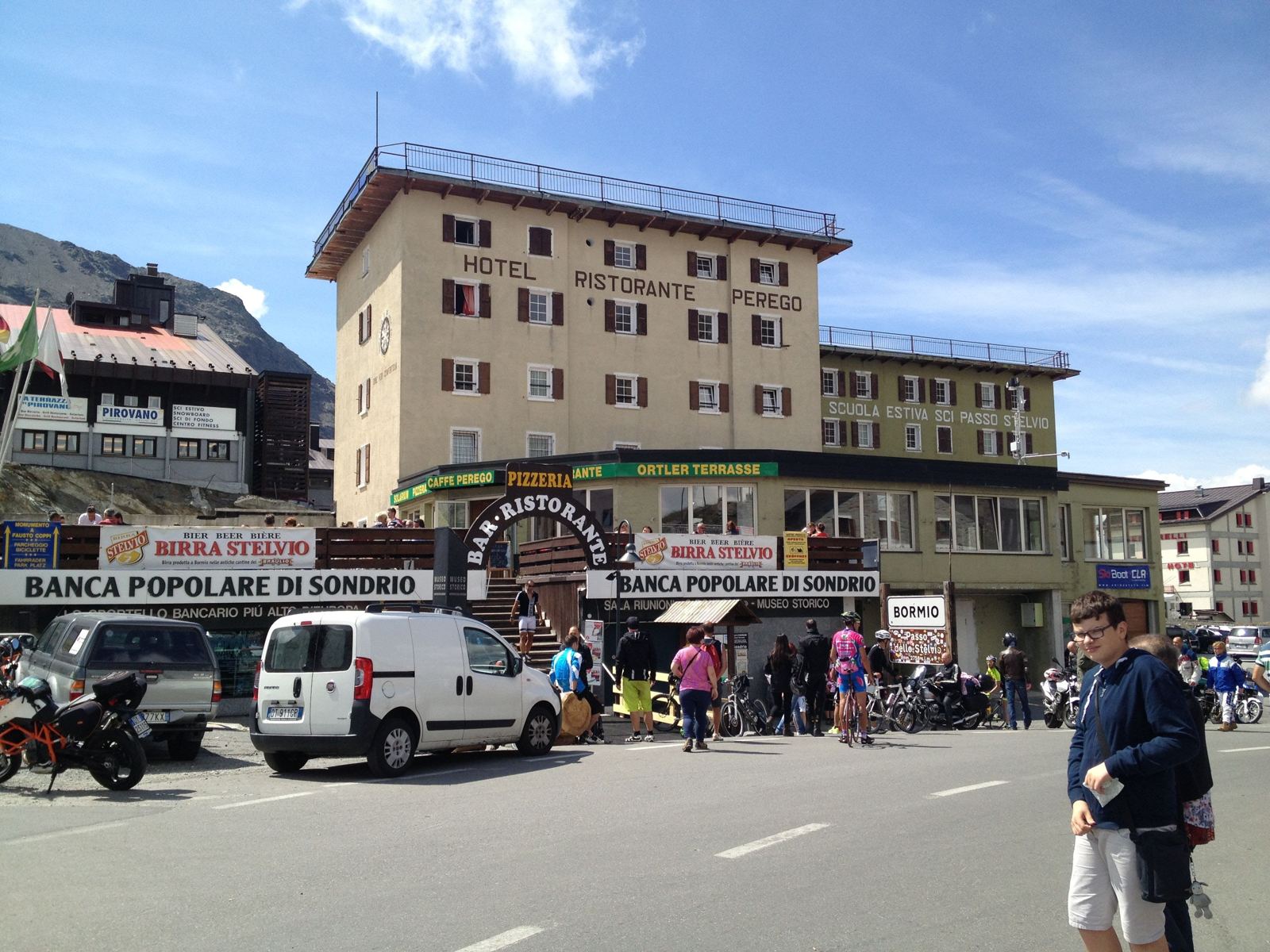
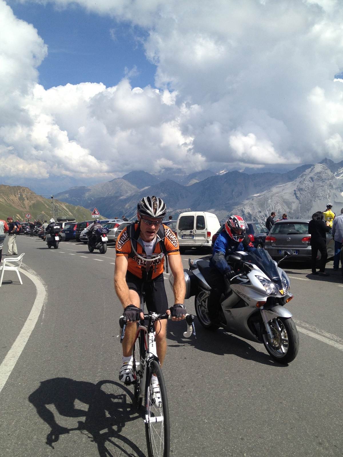
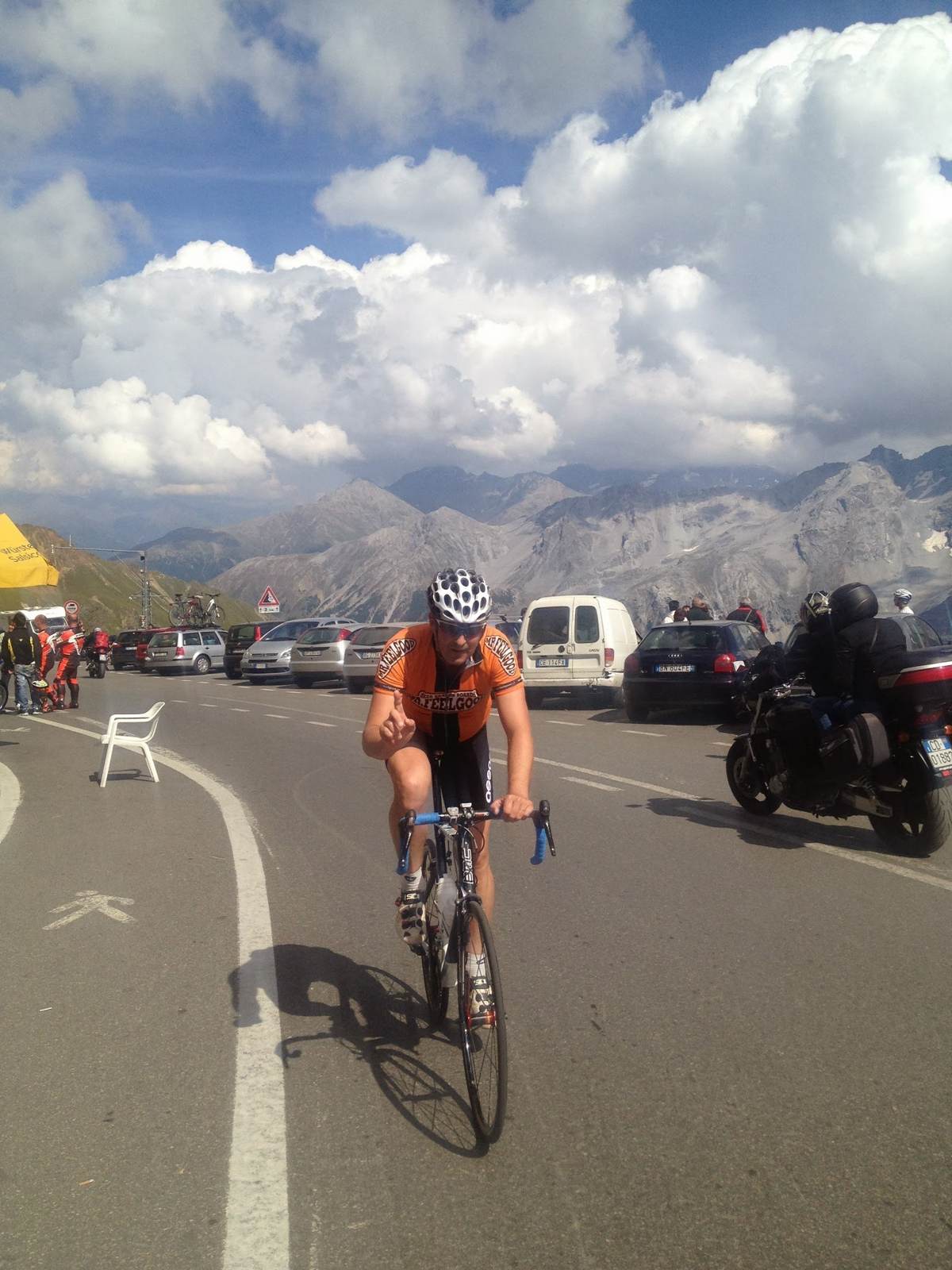
We stayed up there for nearly an hour and a half. The top of the Stelvio is a busy place on a summer Sunday, full of riders, motorbikes, stalls and hotels, and after a climb like that you want to sit down. There are photos of the sign, of the Garmin (by then 1,868 calories and three and three quarter hours of riding), and of a hug at the summit.
The Umbrail And The Ofen Pass Again
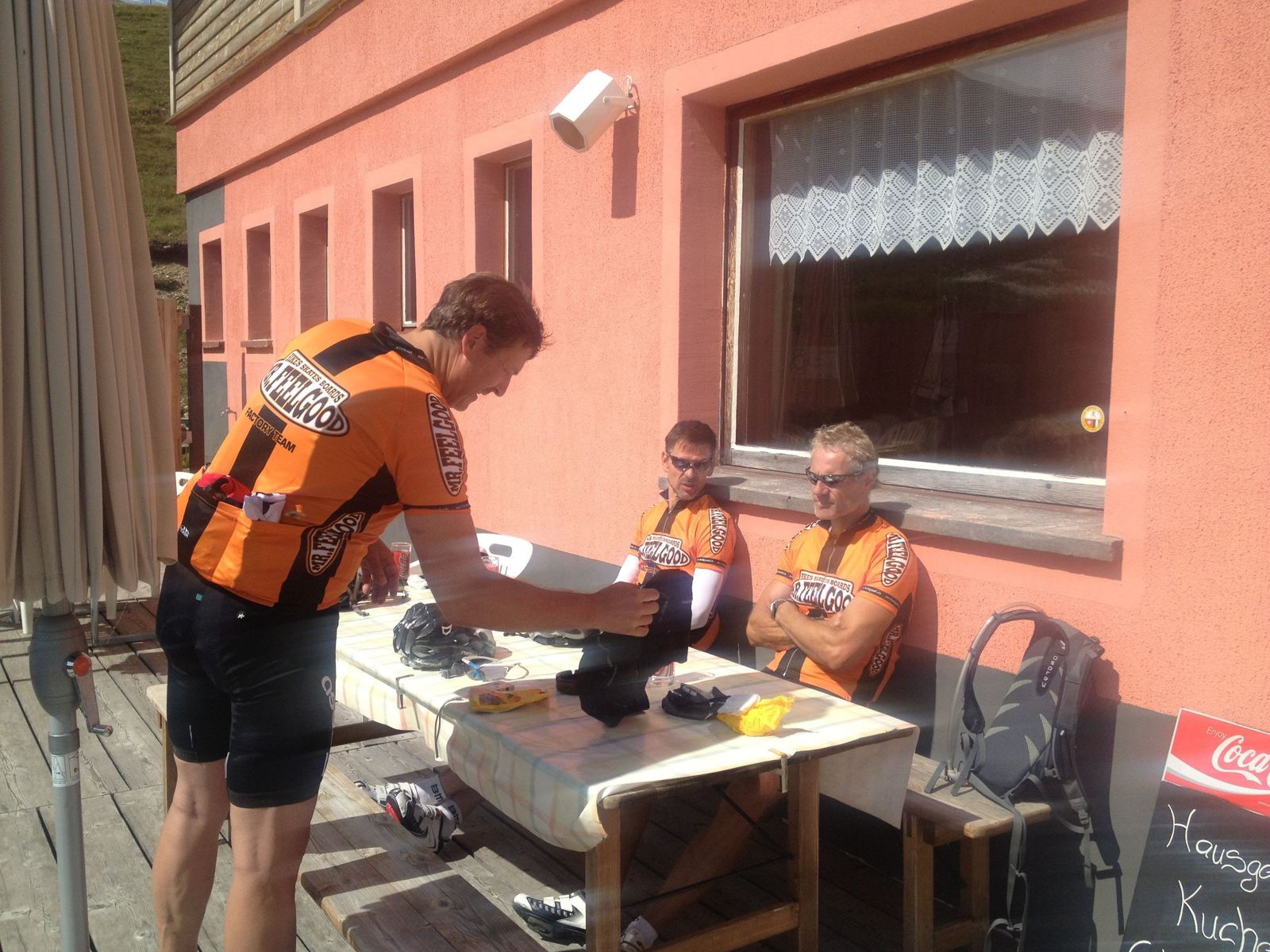
From the top it's only a few minutes down the Bormio side to the turn for the Umbrail, pass number three, 2,501m and the highest paved road pass in Switzerland. There's a café there, and we stopped again, for 38 minutes. Then the descent to Santa Maria: 12.9km and over 1,000m down at 8% in 21 minutes, with a top speed of 67km/h for the day.
And then the sting in the tail. From Santa Maria the only way home is back over the Ofen Pass: pass four, 13.8km and 680m at nearly 5% with 85km already in the legs. Over the top at 17:26, down to Il Fuorn at 17:50. 109.3km, 3,027m of climbing, five and a half hours of riding and eight and a half hours out. The hardest day I have ever ridden; only one ride on this site has more climbing: the Galibier and Glandon day in 2012.
One note on the heights: my Garmin read about 100m low that day, so it shows the top at 2,652m. The real height of the pass is 2,757m.