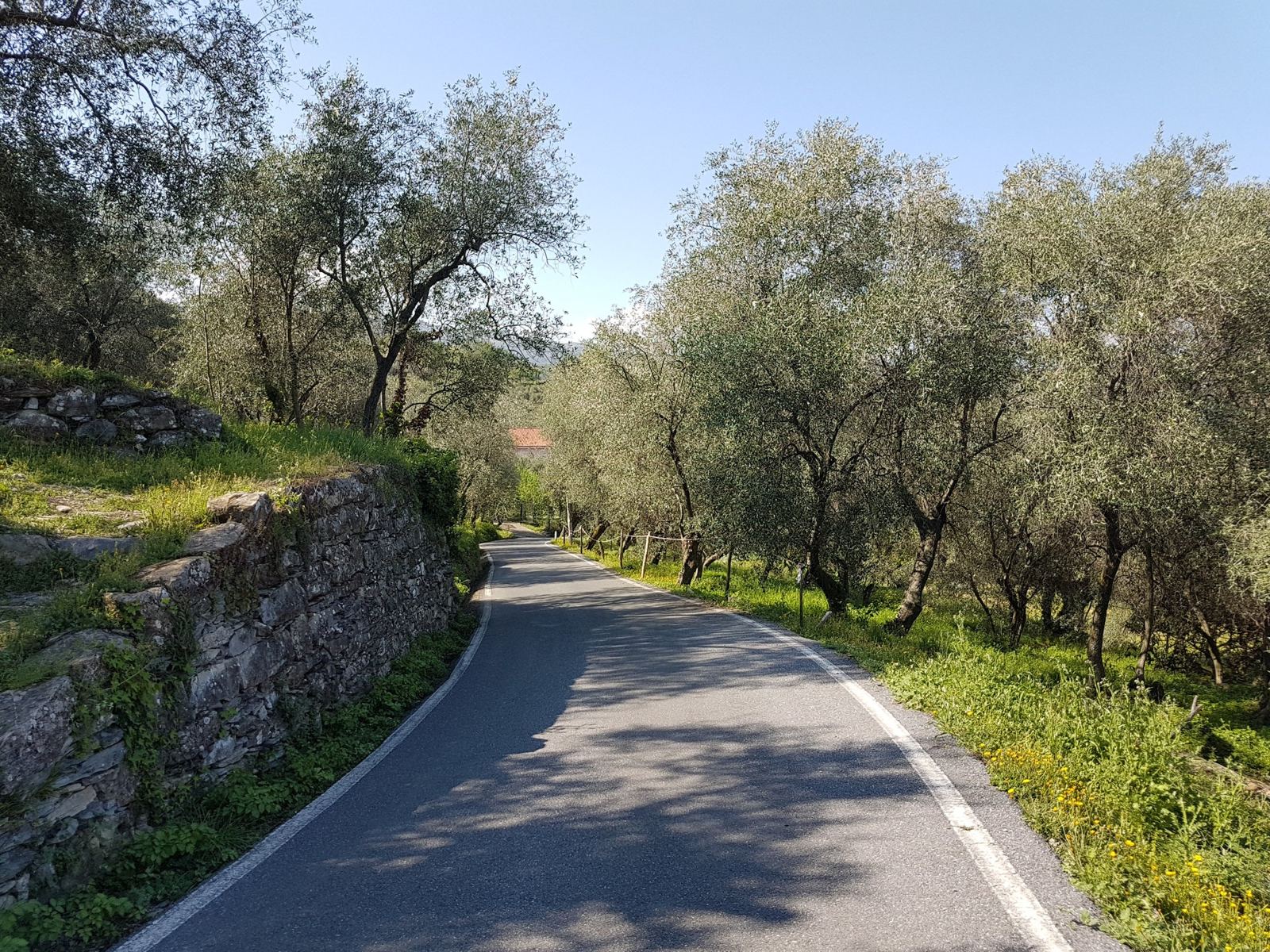
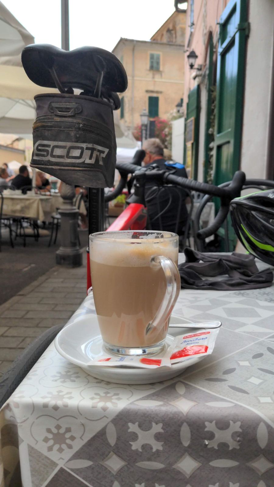
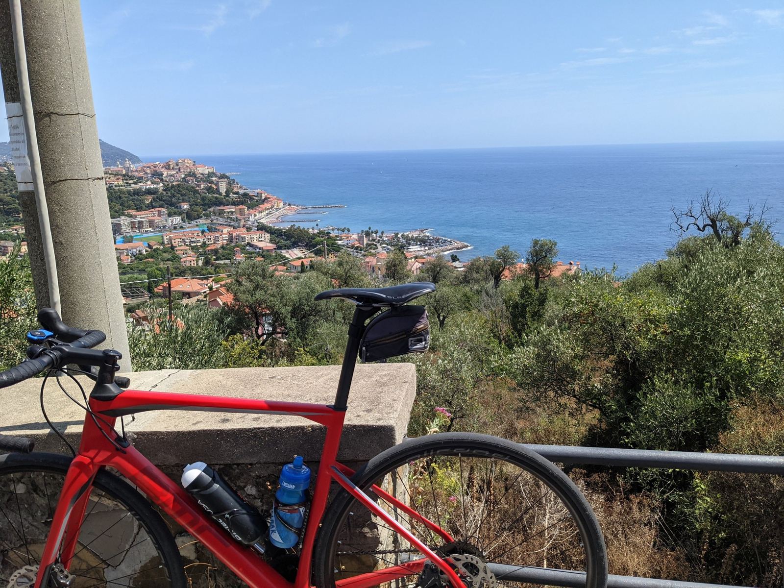
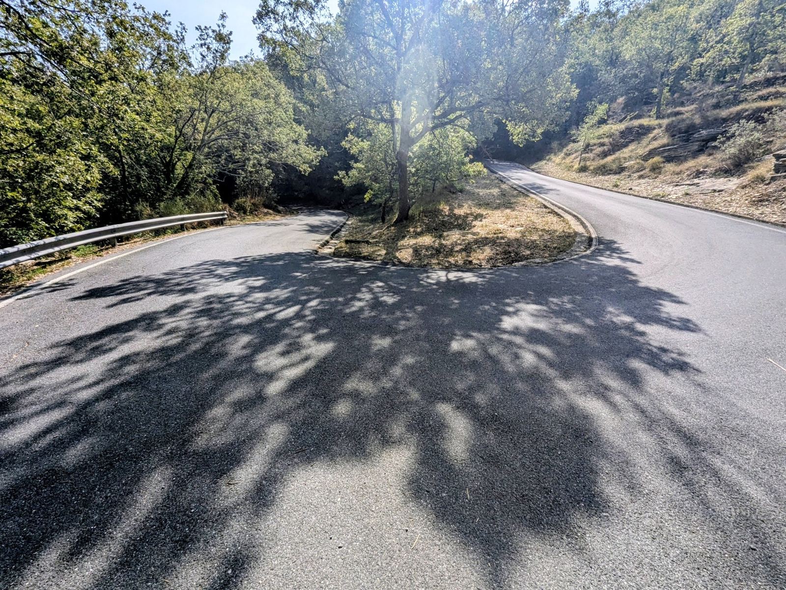
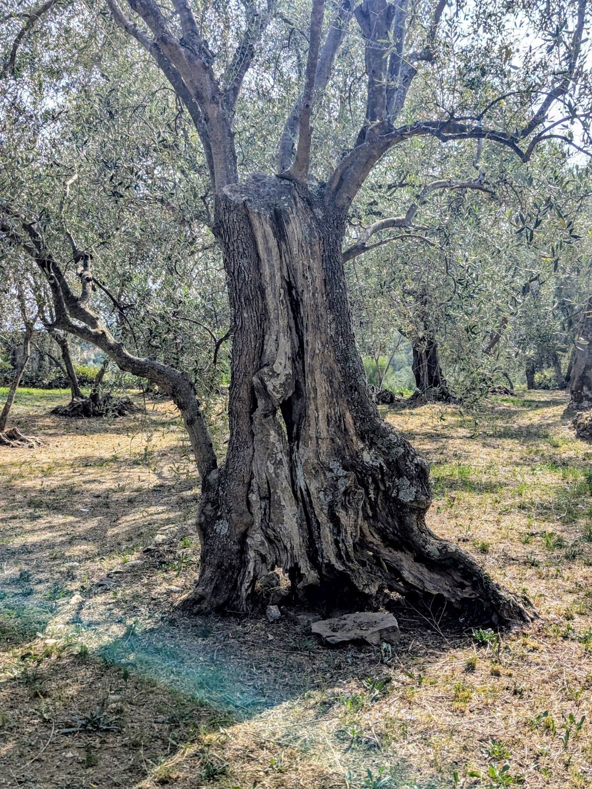
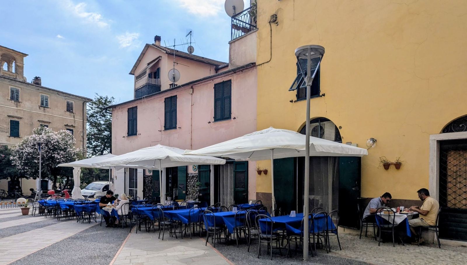
My favourite climb from Imperia: up from Porto Maurizio through the olive groves to the ridge at about 450m, down into Dolcedo for a coffee in the piazza, and back over the hill. About 30km and 600–900m, and I've done it on most trips: here are three of them, 2018, 2021 and 2026.
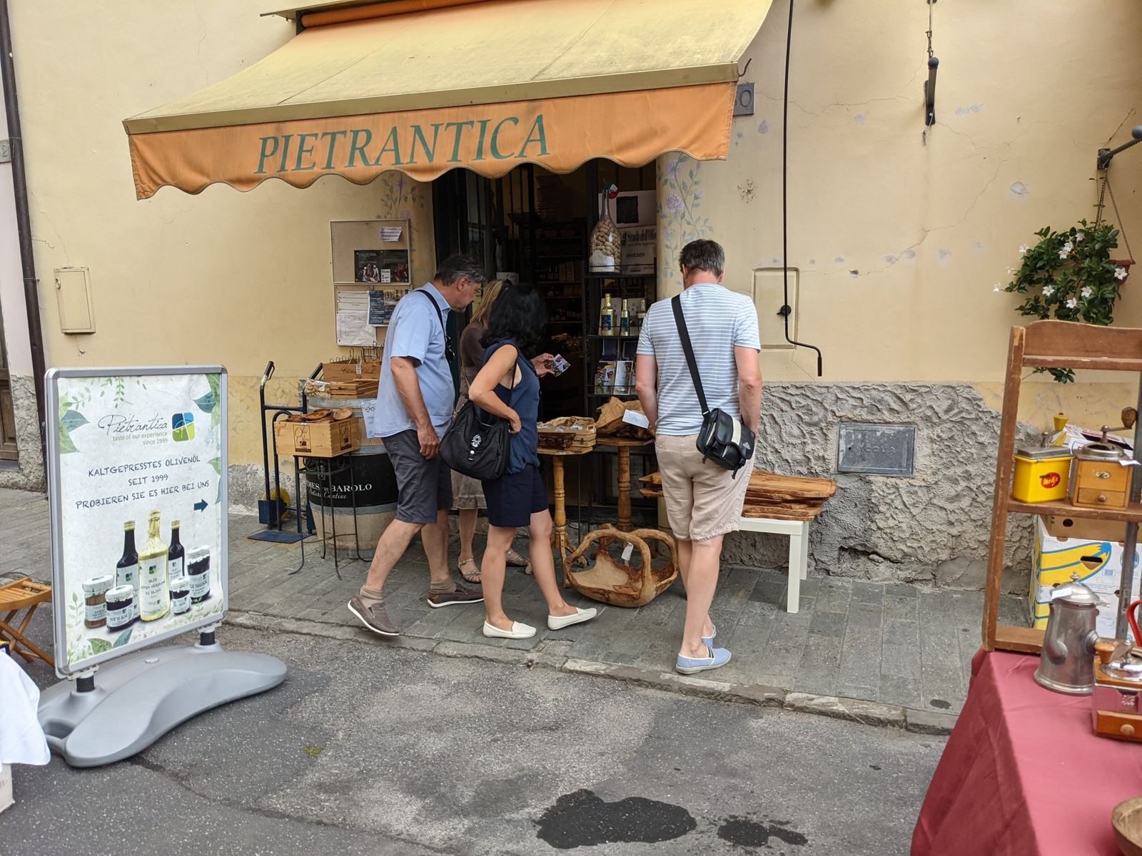
This is my favourite climb from Imperia: out of Porto Maurizio, up the climb to the top, then down the other side into Dolcedo itself. At the bottom on the Dolcedo side there's a coffee shop in the piazza, then it's back up over the same climb and down into Porto Maurizio. My note in 2021: "A ride I have done before in the hills from Porto Maurizio to Dolcedo and back. Great ride up and down the mountain through the olive fields."
Porto Maurizio, Imperia And Dolcedo
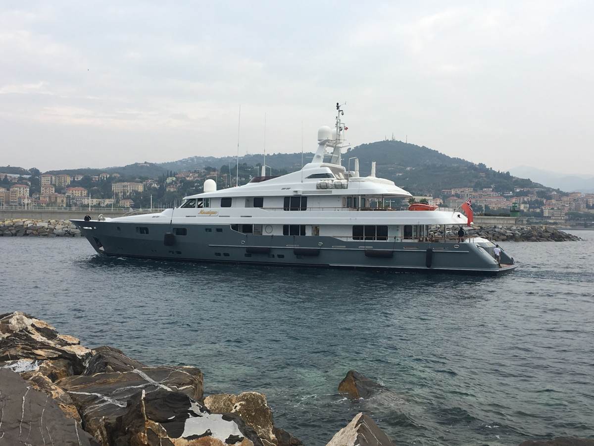
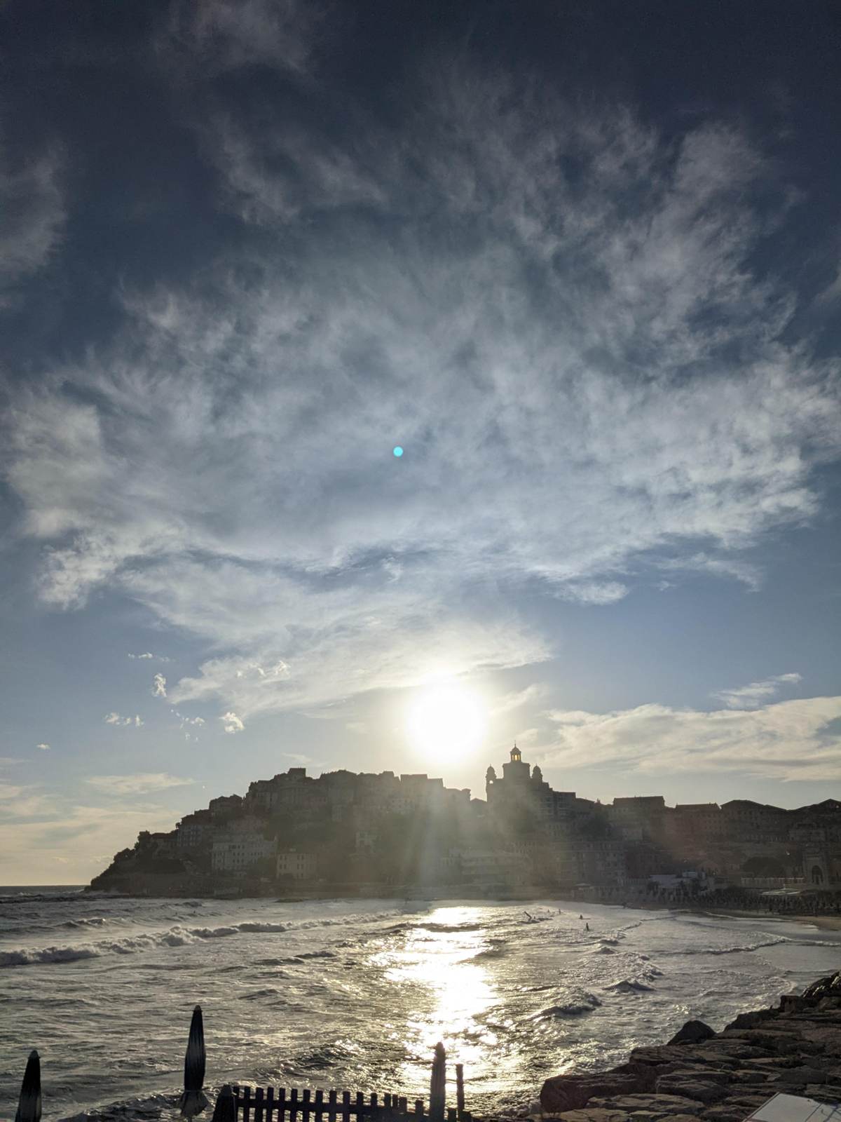
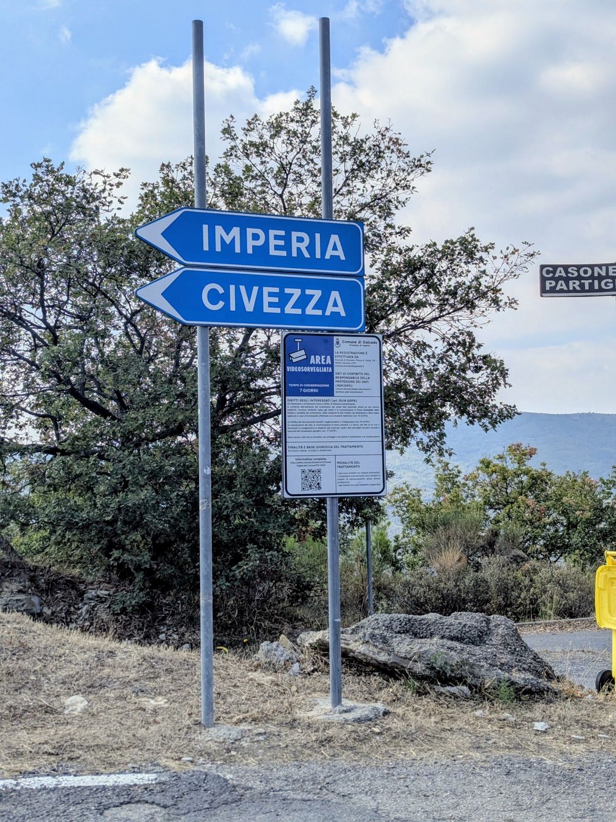
Imperia was created on 21 October 1923 by joining two towns on either side of the River Impero, which gave the new city its name: Oneglia to the east and Porto Maurizio to the west. Porto Maurizio's old town, the Parasio, climbs a headland above the harbour, topped by the Cathedral of San Maurizio, built between 1781 and 1832 and the largest church in Liguria. The area is known for flowers and olives.
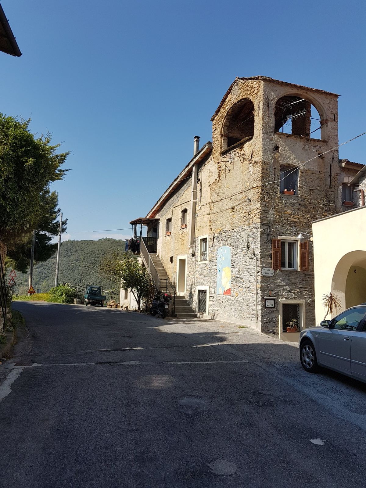
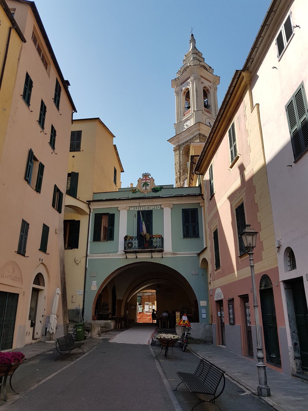
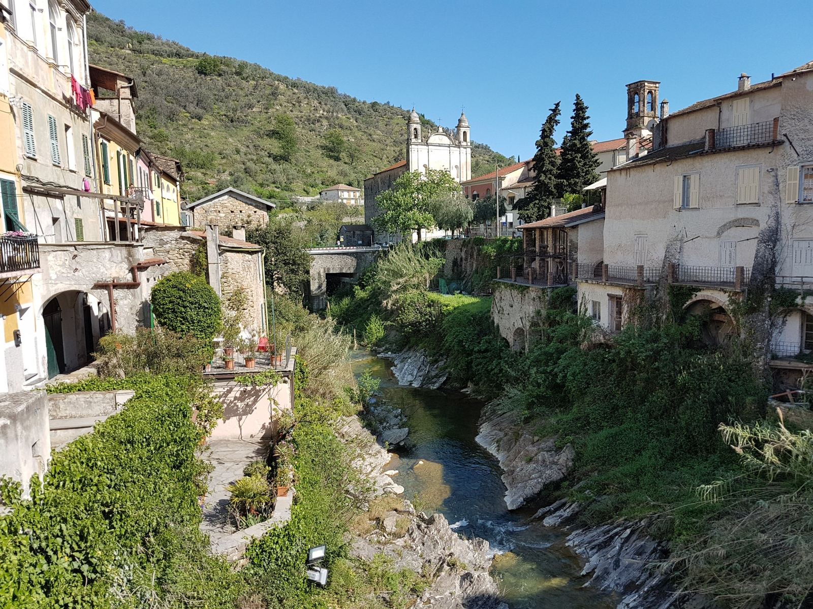
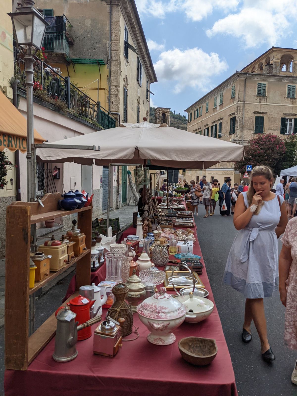
Dolcedo is a village in the lower valley of the Prino stream, a few kilometres inland. Olive growing became the mainstay of the area in the 12th century, and by the 14th Dolcedo was nicknamed the "golden basin" for its oil; under its loggia you can still see the old oil and wine measures from when it was the trading centre of the Val Prino. Its symbol is the Ponte dei Cavalieri di Malta, a single stone arch over the Prino, with the date 1292 on its parapet. The parish church of St Thomas is Baroque, from 1613. The olives on the terraces all round are mostly the local Taggiasca.
Ride 1The First Time, In AprilSaturday 21 April 2018
How The Day Went
11km+422mphotos all the way
18km
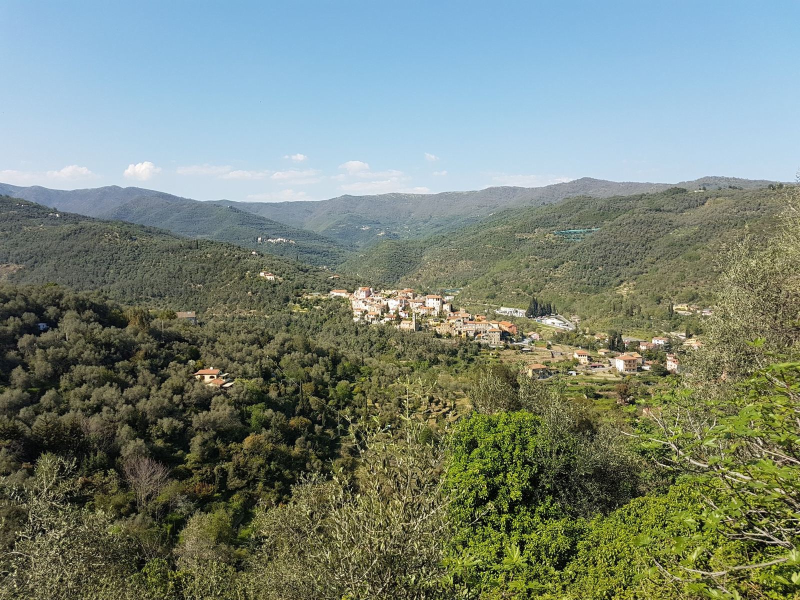
The first time, on a hot April afternoon, 30°C, on the cross bike. I stopped all the way round Dolcedo for photos: the olive roads, the old stone houses, the church, the river. (The heart-rate strap was clearly not working that day, so there are no heart-rate figures.)
Ride 2Porto Maurizio, Stunning ScenerySunday 8 August 2021
How The Day Went
9.5km81m → 485m+404m4.3% average
6.5km−344m
24 min
6.3km+345m5.5% average
7 min
10km
Ride 3Back Again, September 2026Saturday 26 September 2026
How The Day Went
9.3km+415m4.5% average
6.7km
22 min
6.4km+331m5.1% average
9.8km
And again in September 2026, the first ride of that trip. A week later, on 3 October, I rode the climb once more, one way, just to Dolcedo.
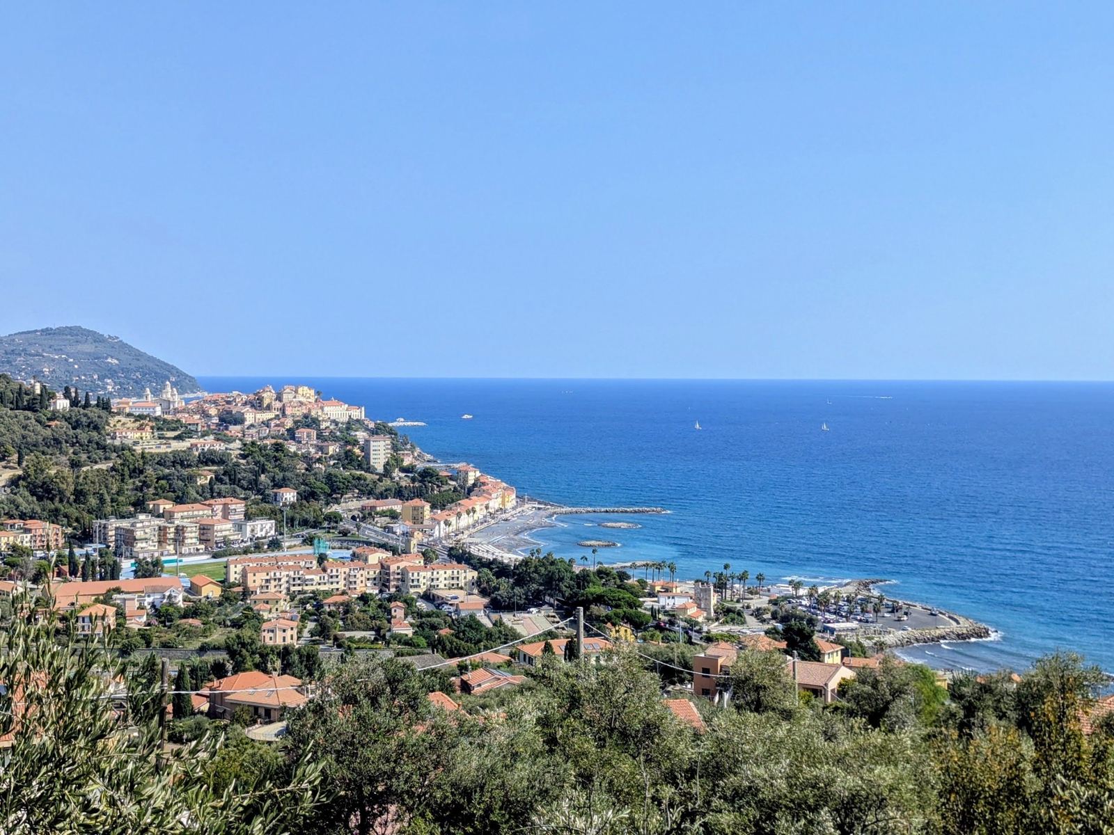
Around Porto Maurizio