Italy · Liguria · Riviera dei Fiori

The Ponente Ligure Coast Path

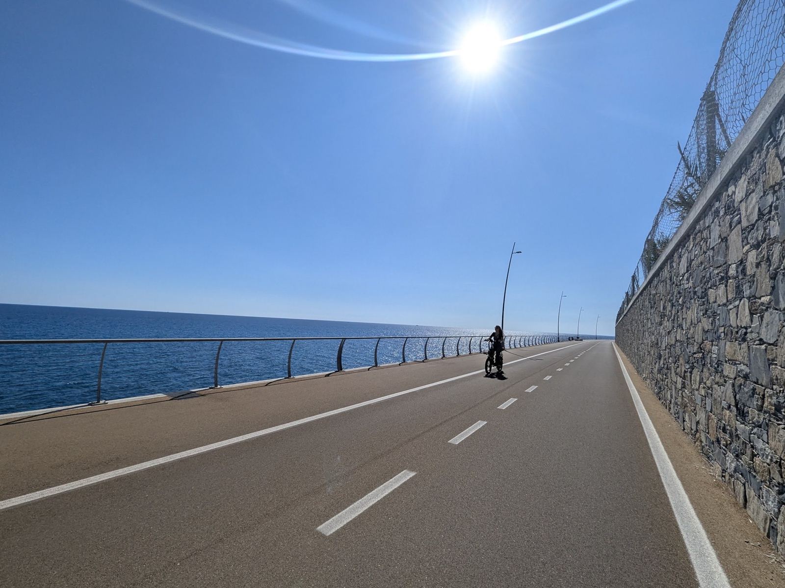
The coast path near Diano Marina, September 2026
Scroll ↓

The flat ride: the old coastal railway line from San Lorenzo al Mare to Ospedaletti, now a car-free cycle path along the sea, through the old tunnels and past the old stations. Three rides on it: a gentle morning with the family in 2022, the full length to Ospedaletti and back in 2026, and the new stretch east to Andora.

After the climbs of Cipressa and Dolcedo, this is the other side of riding from Imperia: completely flat, right by the sea, and no cars. We've used it on every trip, sometimes for a proper ride and sometimes just to potter along to a café.

The Riviera dei Fiori Cycle Path

The single-track railway that ran along this stretch of the Ligurian coast was taken out of use in 2001, when the line moved inland, and its route has been turned into the cycle path of the Parco Costiero Riviera dei Fiori. The classic section runs for about 24km from San Lorenzo al Mare to Ospedaletti, through the tunnels at Aregai, below Cipressa, and Costarainera, and on through Riva Ligure, Arma di Taggia and Sanremo, with the old station buildings still beside the path. It has since been extended along the coast; one guide describes a continuous route of around 45km from Ospedaletti to Andora, completed in 2026.

Ride 1A Gentle Morning To SanremoTuesday 4 October 2022

Start & finish: ImperiaSanremo
Ride 1, from my GPS track. Green: Imperia. West along the coast and the path to Sanremo (white), with long stops at Santo Stefano and Riva Ligure, and back. This ride on Strava →
35.5kmDistance
108mClimbing
21mHighest point
4mLowest point
2h 19mMoving time
08:52–12:53Out on the road (4h 01m)
15.2km/hAverage moving speed
21.4km/hTop speed
406Calories

How The Day Went

08:53 – 09:34
Along the coastImperia → San Lorenzo → Santo Stefano

9.6km

09:40 – 10:17
Santo Stefano al MareThe old town lanes

37 min

10:24 – 11:40
The path to SanremoRiva Ligure → Arma di Taggia → Sanremo → back

14.5km

11:40 – 12:13
StopRiva Ligure

34 min

12:14 – 12:52
Home→ Imperia

10.6km

A slow one, and meant to be: 35.5km, 108m of climbing, and two half-hour stops. We wandered the old lanes of Santo Stefano al Mare with Lillie, rode on along the path to Sanremo, and stopped again at Riva Ligure on the way back.
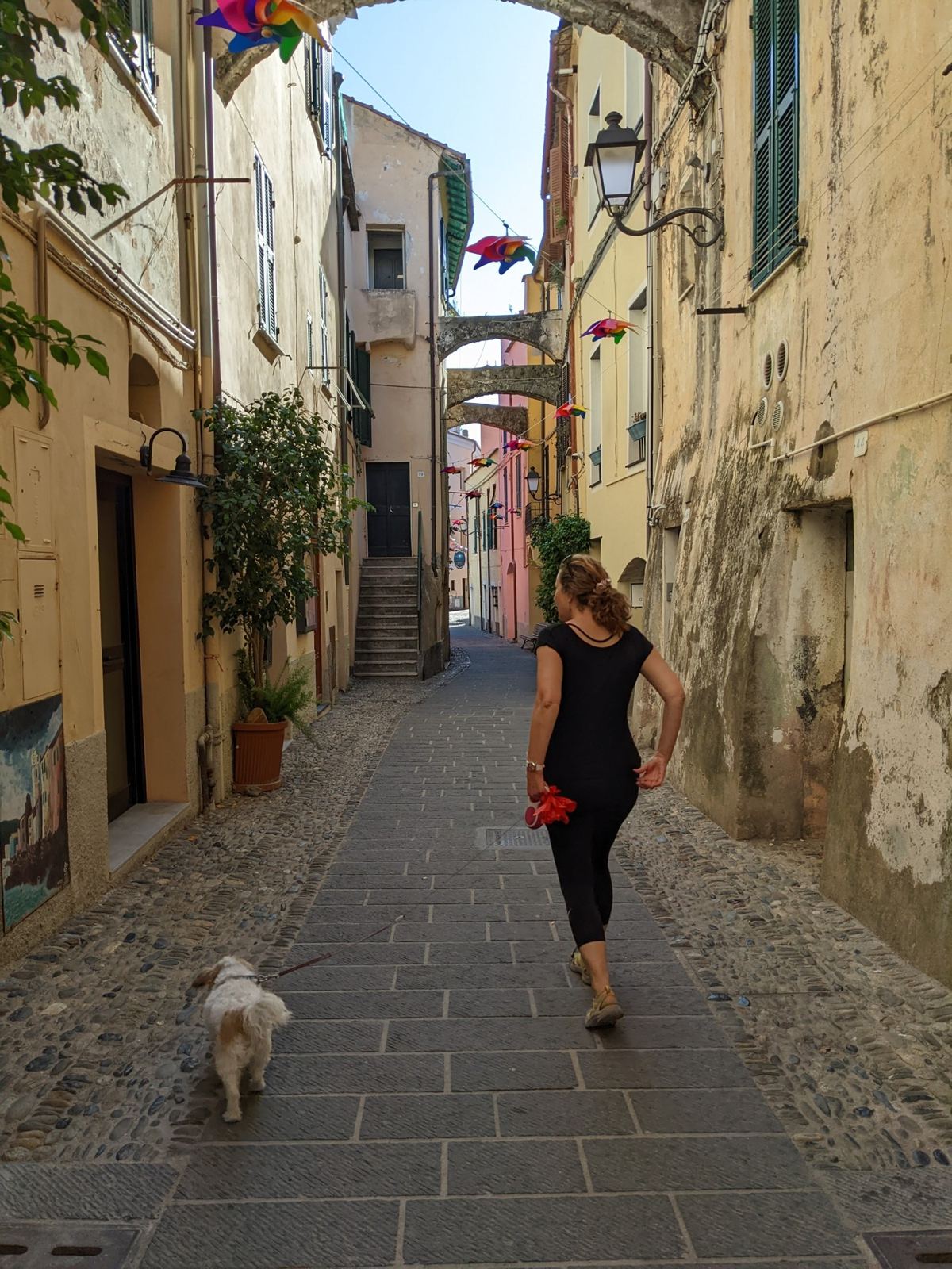
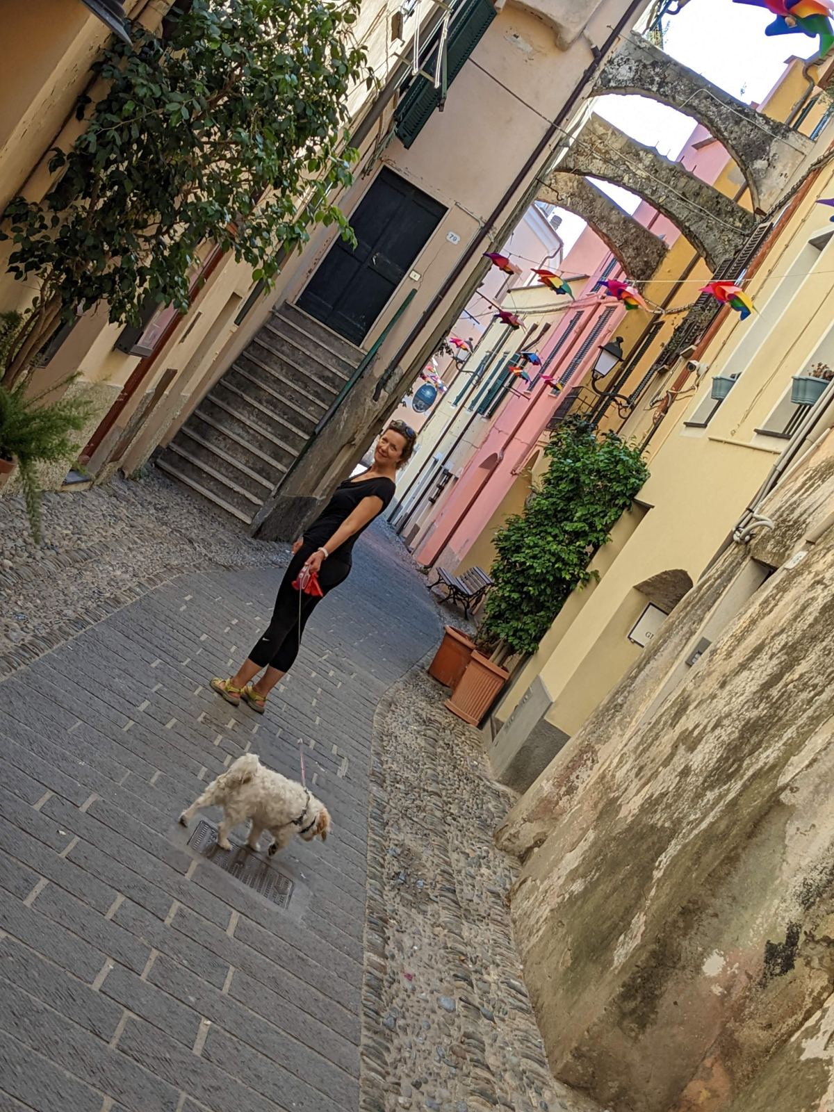
My wife and our dog Lillie walking down a narrow old-town lane in Santo Stefano al Mare
10:22: the old town of Santo Stefano al Mare, with Lillie.
A narrow lane between tall pastel houses in Santo Stefano al Mare
The lanes behind the sea front.
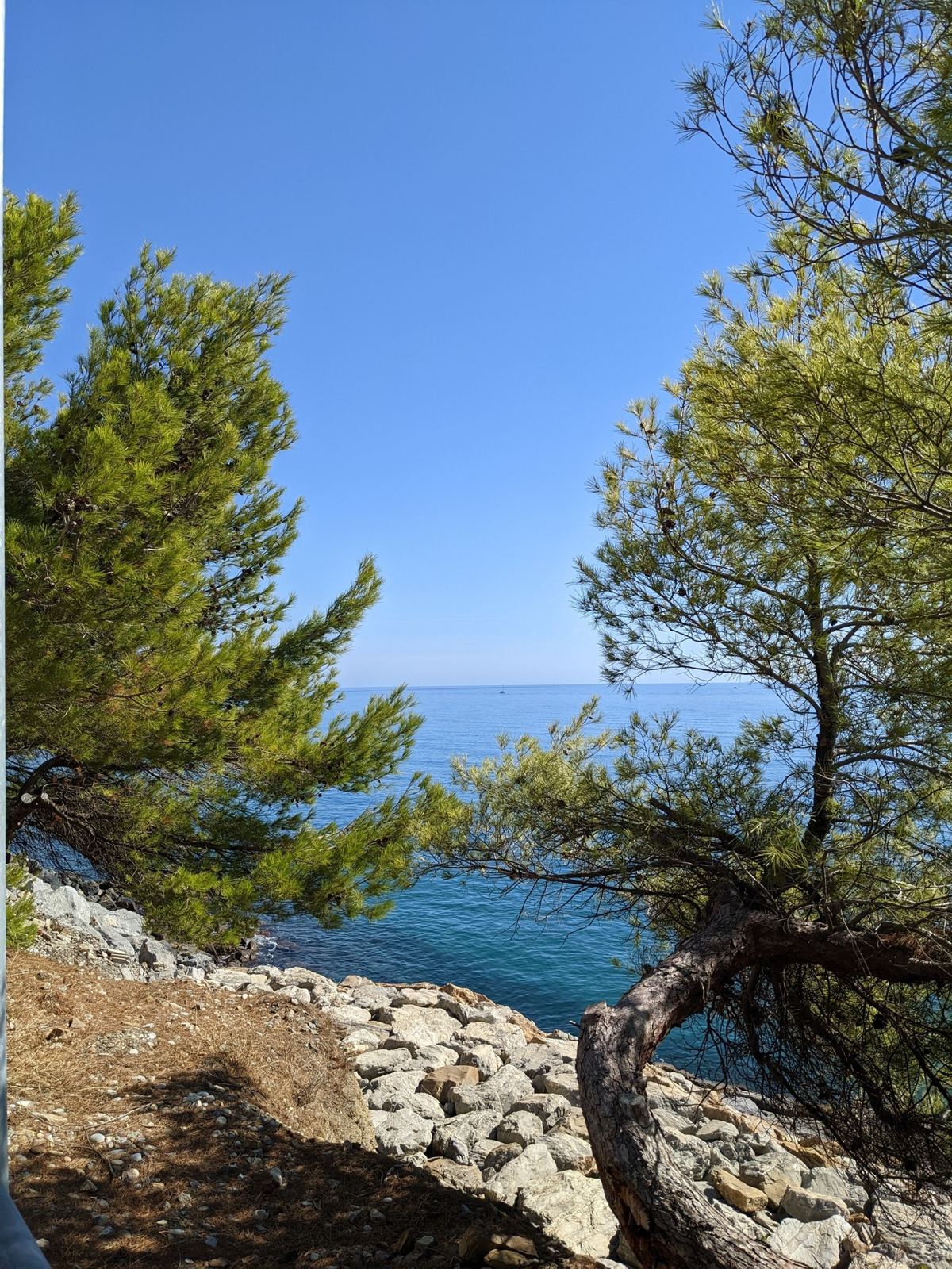
Pine trees and rocks above the clear sea along the coast path
12:44: the sea from the path near San Lorenzo.

Ride 2The Whole Path, To Ospedaletti And BackWednesday 30 September 2026

Start & finish: ImperiaOspedaletti, the end of the path
Ride 2, from my GPS track (COROS). Green: Imperia. The whole coast path west to Ospedaletti (white) and back, with coffee at Santo Stefano al Mare.
55.5kmDistance
378mClimbing
32mHighest point
-13mLowest point
2h 11mMoving time
12:28–15:34Out on the road (3h 06m)
25.4km/hAverage moving speed
38.0km/hTop speed
132 / 172Heart rate, average / max (bpm)
1,424Calories
COROSRecorded on

How The Day Went

12:28 – 13:36
West along the pathImperia → San Lorenzo → Sanremo → Ospedaletti

28km

13:36 – 13:44
The end of the pathOspedaletti

8 min

13:44 – 14:25
Back east→ Santo Stefano al Mare

16km

14:25 – 14:51
CoffeeSanto Stefano al Mare

26 min

14:52 – 15:34
Home→ Imperia

11km

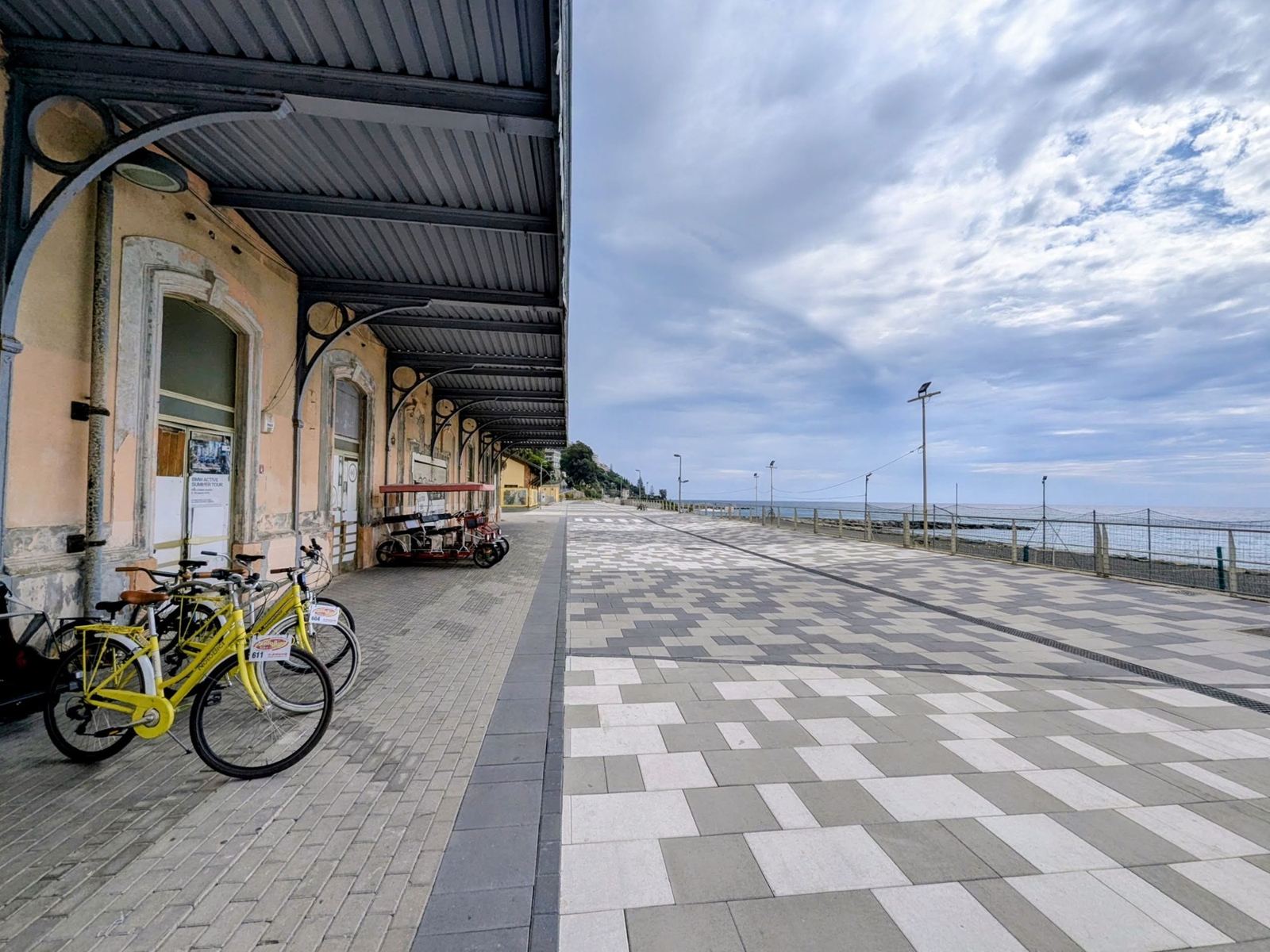
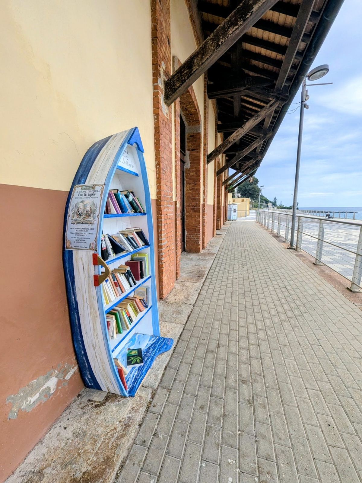
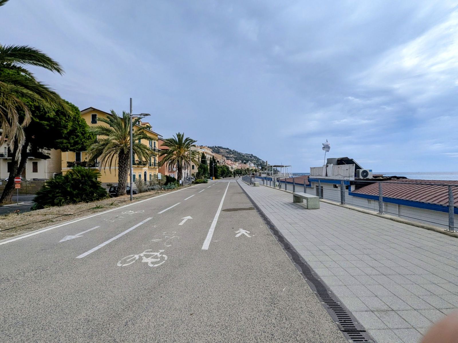
In 2026 I rode the whole thing: 28km west from Imperia to the end of the path at Ospedaletti, and back, 55.5km at over 25km/h. Near the Ospedaletti end the path runs past one of the old stations, where the bikes are parked under the platform roof and someone has put up a little bookcase.
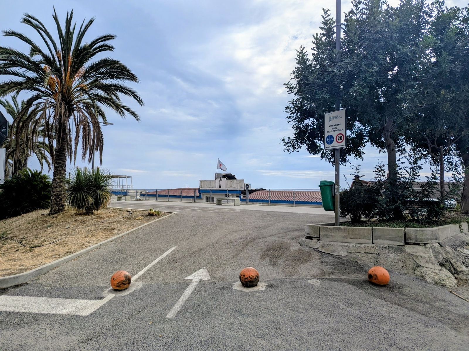
Palm trees and a curving cycle path by the sea at Ospedaletti
13:26: Ospedaletti, the western end.
The wide cycle path along the sea front with the town behind
The path at Ospedaletti.
Yellow hire bikes parked under the platform roof of an old railway station on the coast path
13:31: an old station on the path.
A small blue boat-shaped bookcase on the platform of an old station beside the cycle path
The bookcase on the old platform.

Ride 3East To Andora On The New PathMonday 28 September 2026

Start & finish: ImperiaAndoraDiano Marina
Ride 3, from my GPS track (COROS). Green: Imperia. East along the coast past Diano Marina and Cervo to Andora (white), and back.
36.9kmDistance
214mClimbing
15mHighest point
-6mLowest point
1h 30mMoving time
13:00–14:42Out on the road (1h 41m)
24.3km/hAverage moving speed
39.8km/hTop speed
127 / 151Heart rate, average / max (bpm)
925Calories
COROSRecorded on

How The Day Went

13:00 – 13:48
East along the coastImperia → Diano Marina → Cervo → Andora

18km

13:48 – 14:42
Back→ Imperia

18km

And east the other way, from Imperia past Diano Marina and Cervo to Andora: 36.9km in an hour and a half. Part of it runs on a newer section of path built out along the sea wall, as smooth as a road.
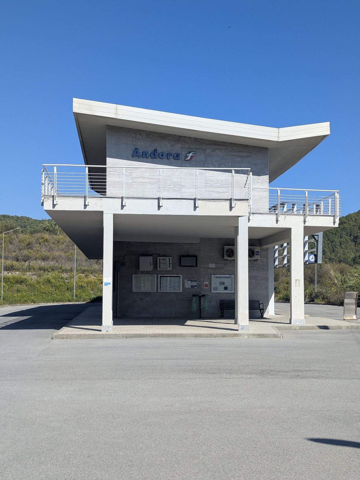
A modern white lookout building on stilts beside the coast path at Andora
13:48: Andora.
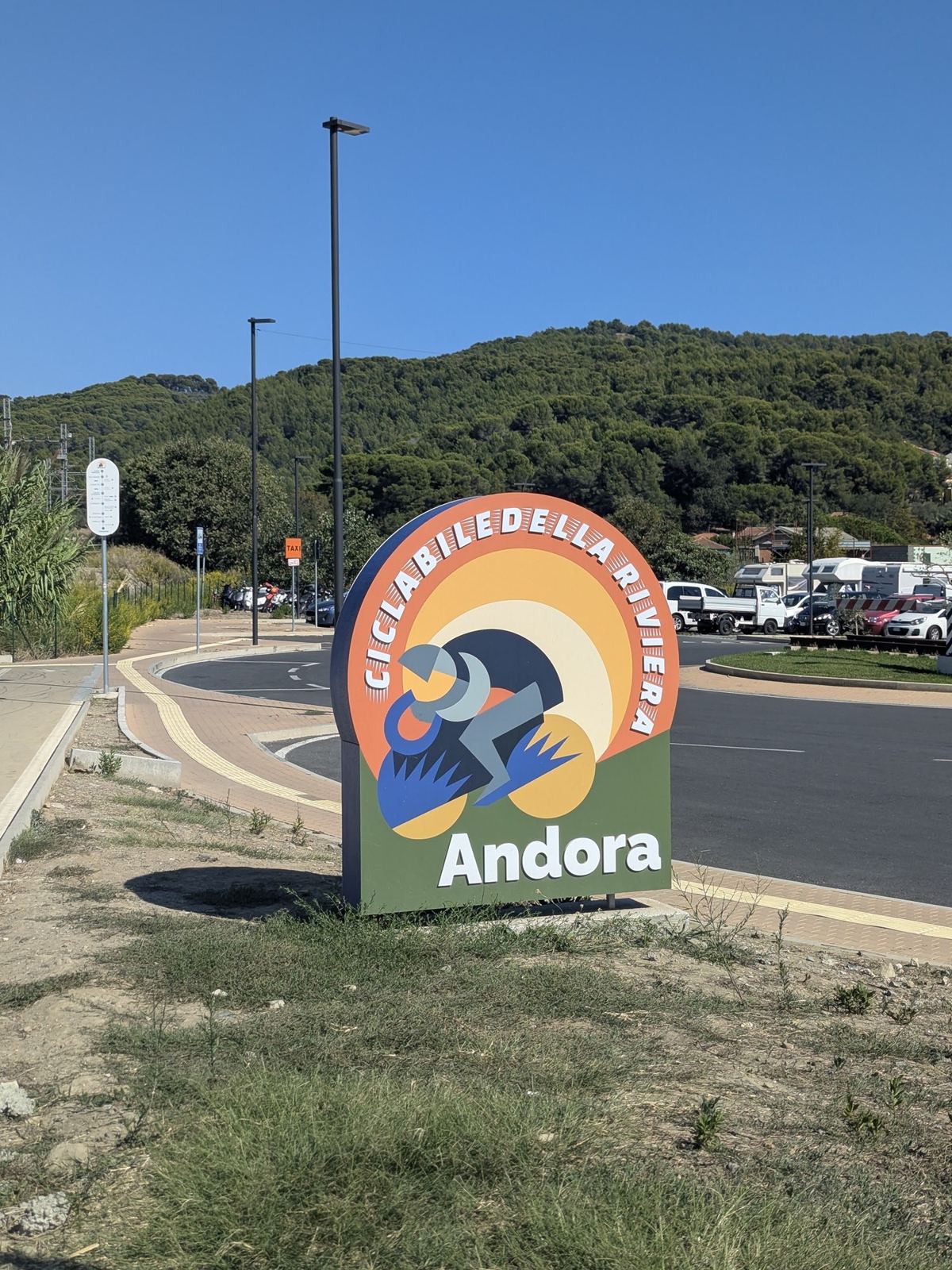
The cycle path sign for Andora beside the path, with the hills behind
The Andora end of the path.
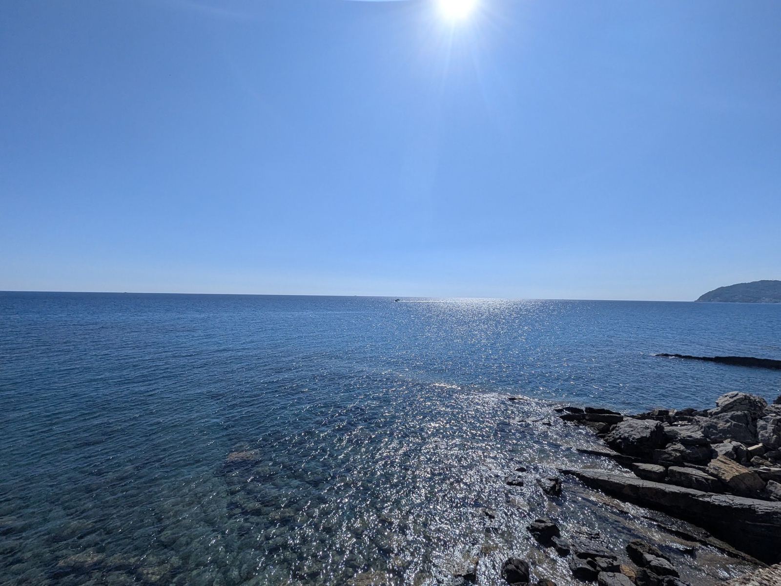
The sea glittering in the sun from the coast near Cervo
14:00: the sea near Cervo.
The new cycle path running along a high stone wall beside the sea
14:23: the new path along the sea wall, near Diano Marina.

Around The Coast

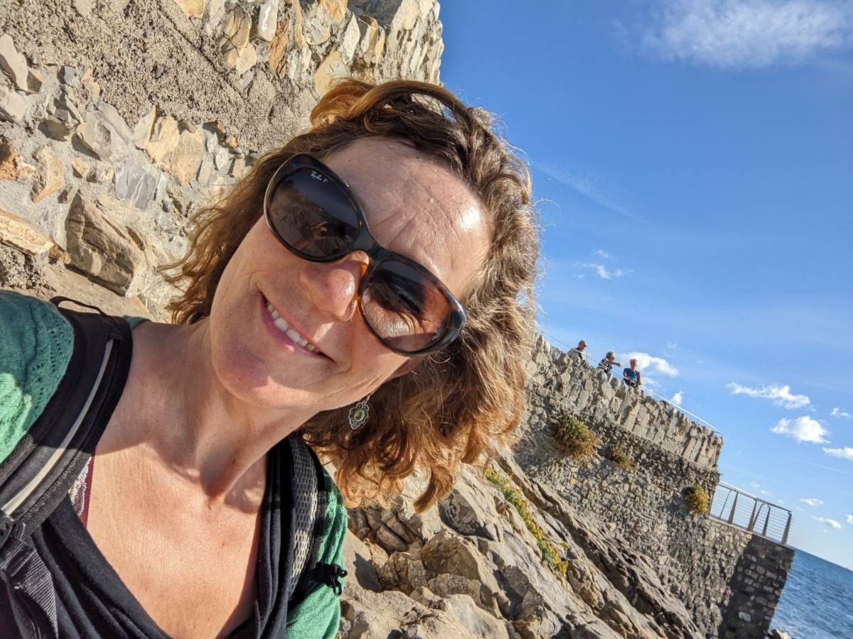
My wife at a clifftop stop along the Ligurian coast path, sea and rocks in the background
My wife at a clifftop stop on the path (October 2022).
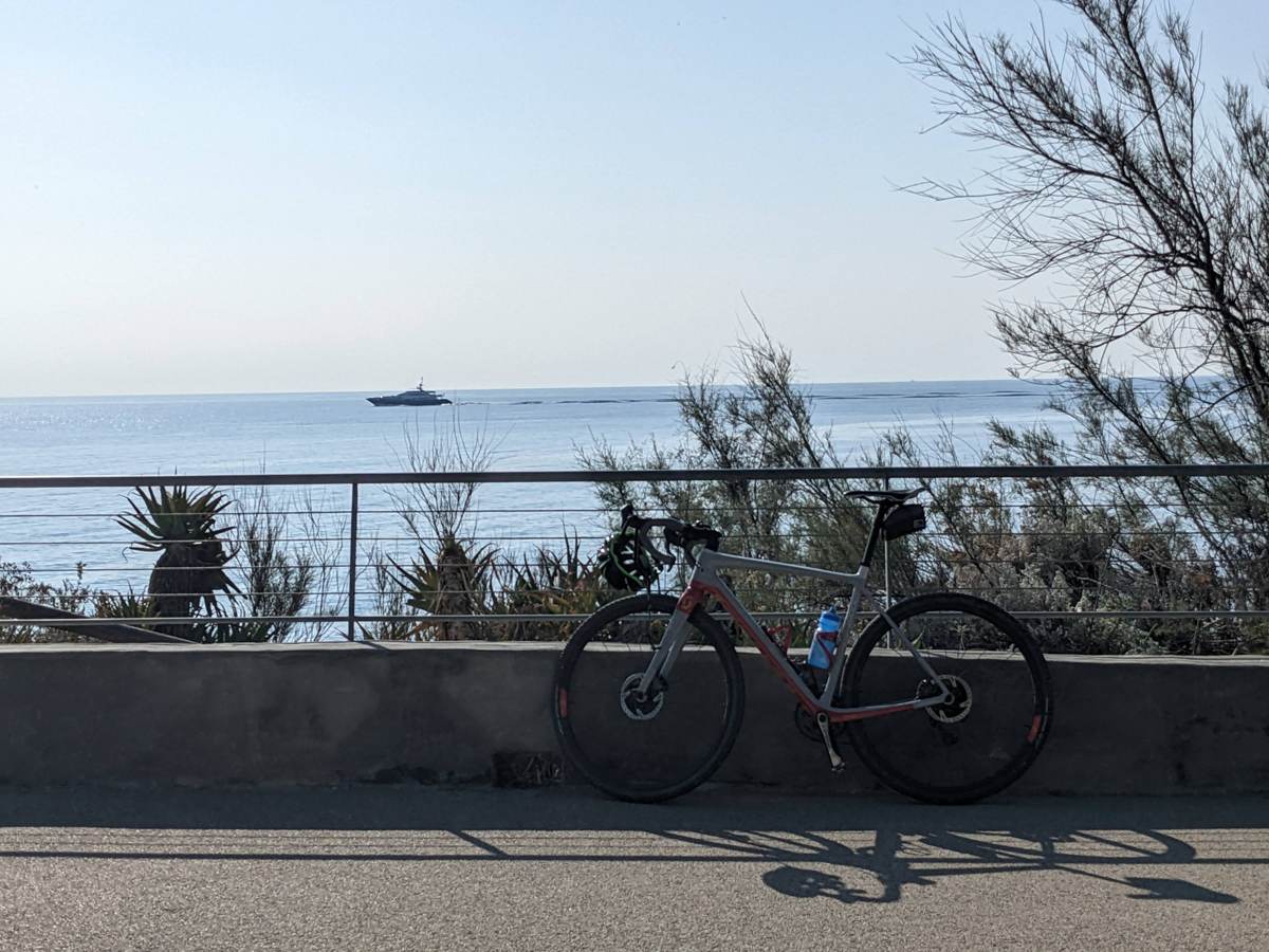
A bike at a viewpoint on the coast path
A viewpoint on the path (October 2022).

Where It Is

The coast path from Ospedaletti (west) past San Lorenzo al Mare (marker) and Imperia to Andora (east).