Two big days in a row — both sides of one of Europe's oldest Alpine passes in a single ride, then a second climb up the Valpelline to the Place Moulin reservoir.
In September 2021 I rode two big days here, back to back: both sides of the Grand St Bernard Pass in one ride on the 17th, then a completely different climb on the 18th, up the Valpelline valley to the Place Moulin reservoir above Bionaz. Before the rides themselves, a bit about the pass, because it has more history than almost any road in the Alps.
The Grand St Bernard Pass
The pass sits at 2,469m on the border between Switzerland (the canton of Valais) and Italy (the Aosta Valley), and it's one of the oldest crossings of the Alps. The Romans knew it as Poeninus mons. A Roman road over the top was finished by around 43 AD under the emperor Claudius, with a staging post at the summit and a temple to Jupiter Poeninus at the spot still called Plan de Jupiter. That's where the later name Mont Joux comes from.
The hospice at the top was founded in 1049 by Bernard of Menthon, to shelter travellers caught by the weather, and it has been there ever since. The St Bernard dogs come from here: the monks bred them for mountain rescue, and since 2004 they've been looked after by the Fondation Barry du Grand Saint Bernard, named after the most famous rescue dog of all. In May 1800 Napoleon took around 40,000 men and part of his artillery over the pass on his way into Italy.
The thing that matters most for riding it today is the tunnel. The Grand St Bernard road tunnel opened in 1964, running under the pass at 1,915m, and almost all the through traffic and lorries now go that way. The old road over the top is only open from roughly June to September, and outside the busy weeks of July and August it's quiet. That's why it's a really nice climb just outside those two months, and quite a challenge, especially if you do both sides. Both my rides were in mid-September.
In The Tour de France And The Giro d'Italia
The Tour de France has crossed the Grand St Bernard five times. Four of those were as a first-category climb; the last, in 2009, was hors catégorie. On stage 16 of the 2009 Tour, from Martigny to Bourg-Saint-Maurice, it was the highest point of the whole race. Franco Pellizotti, then leading the mountains competition, and Vladimir Karpets were first over the top, and the stage went to Mikel Astarloza.
The Giro d'Italia has been over it eight times. Gino Bartali led over the top in 1952, on the stage from Saint-Vincent to Verbania. In 1957 Charly Gaul crossed the summit alone on the stage from Saint-Vincent to Sion, only to be caught on the descent by Gastone Nencini and Louison Bobet, and Bobet won the stage. Gaul was first over again in 1959, and in 1963 Vito Taccone went over first and won the stage. The Giro tried to come back in 2023, but heavy snow on the pass meant the riders were sent through the tunnel instead.
The Climb, Side By Side
Both sides are big. From Switzerland the full climb starts at Martigny, at about 500m, and runs for around 42km up the Val d'Entremont; from Sembrancher it's 30.6km and 1,752m at an average of 5.7%, with a maximum of 9.7%. It's gentle at first and gets steeper after Orsières. The hardest part is the end: past the covered galleries that lead to the tunnel, the old road turns off for the last six kilometres or so to the summit, at over 8% on average. That's the part I rode on the Swiss side.
From Italy the climb starts in Aosta, at about 34km and 1,872m of climbing at an average of 5.5%, with a maximum of 10%. That's the side I rode down and back up.
Ride 1Grand St Bernard, Both Sides In One RideFriday 17 September 2021
How The Day Went
6.7km551m up45 minsteepest part of the climb
three quarters of an hourphotos
26kmabout 1,500m down42 min61.4km/h top speed
about an hour off the bike
22kmabout 1,200m up2h 12mlovely once you turn off
3.7kmabout 300m upthe pass for the second time
6.8kmabout 530m downride over
Up The Swiss Side
I set off at 09:51 from L'Hospitalet, above Bourg-Saint-Pierre on the Swiss side, at about 1,940m. From there it's 6.7km to the top, and it's steep all the way: 531m of climbing at an average of under 9km/h. I was at the summit, 2,470m, by 10:37.
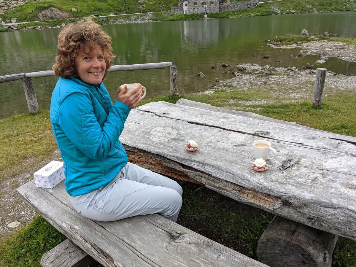
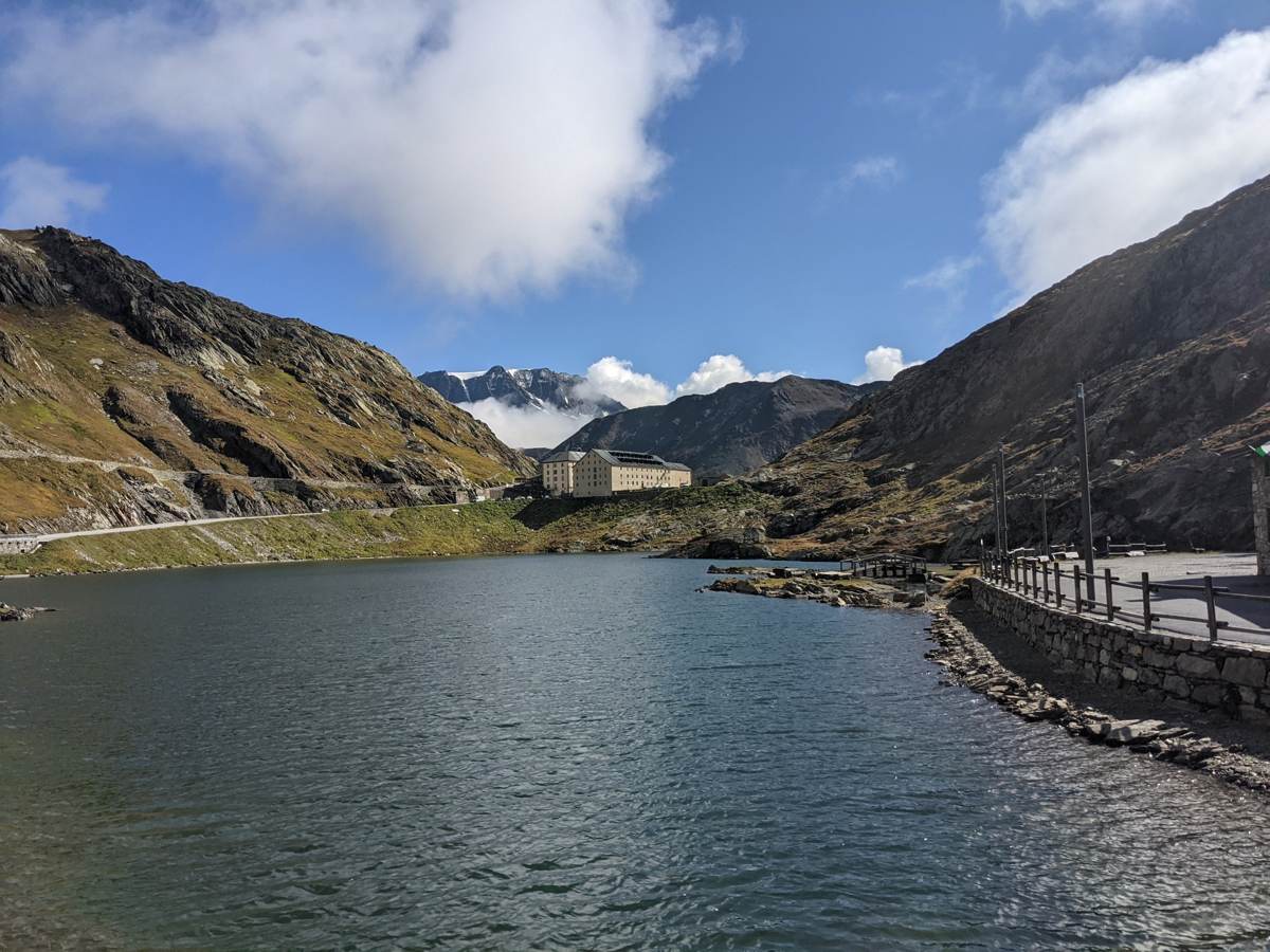
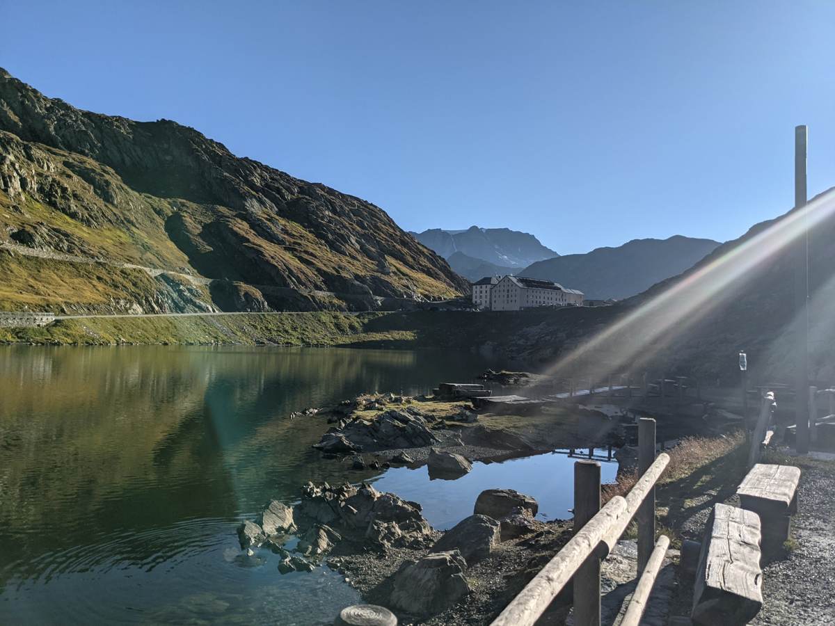
The top is the lake, the hospice and the border all in one place. I had a break of about three quarters of an hour up there and took a few photos before heading over to the Italian side.
Down The Italian Side To Gignod
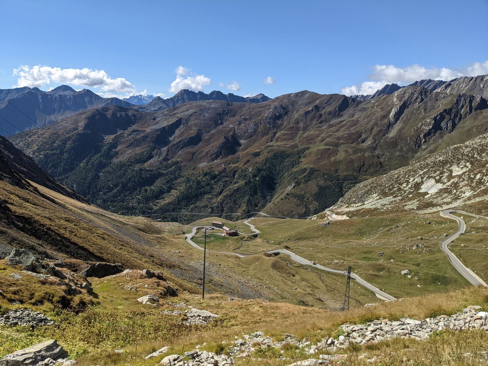
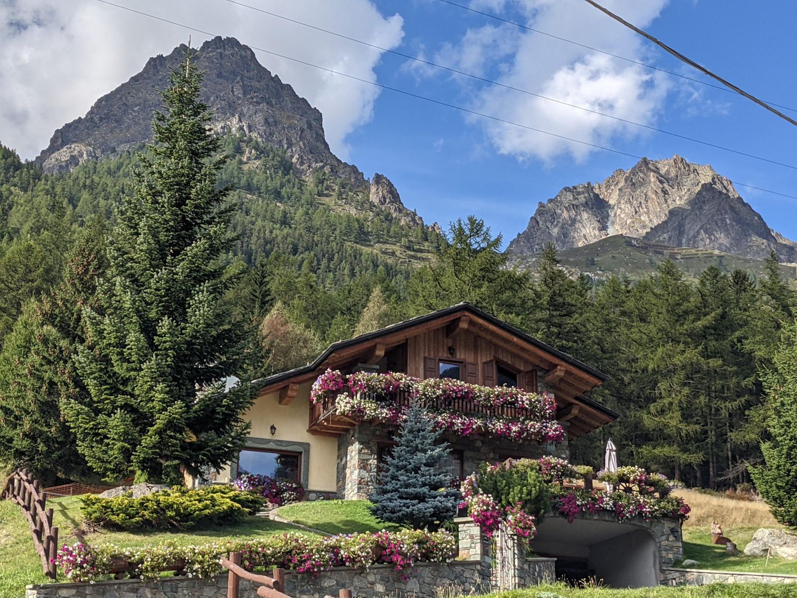
At 11:23 I rolled off the top and down the Italian side, through the hairpins below the summit (the photo at the top of this page), then on past Saint-Rhémy-en-Bosses, Saint-Oyen and Étroubles to Gignod, above Aosta. That's about 26km and close to 1,500m of descent in roughly 40 minutes, with a top speed of 61km/h. By 12:05 I was down at the lowest point of the day, 975m.
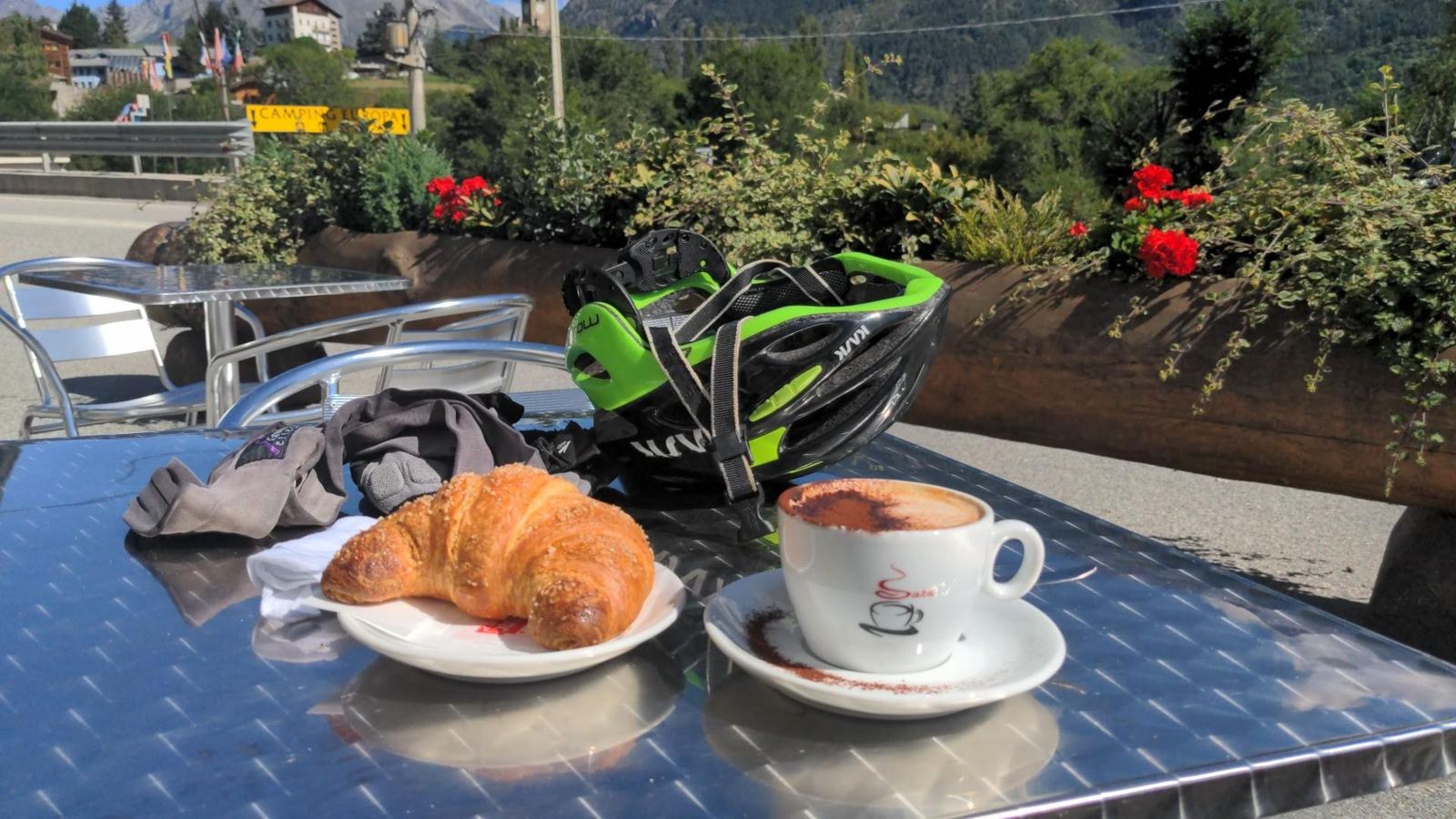
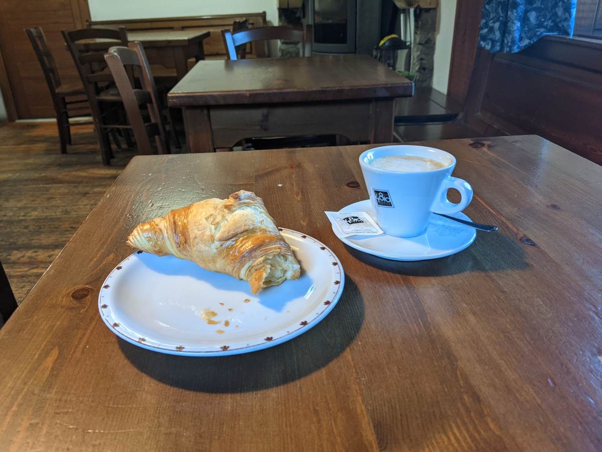
Gignod meant the obvious thing: coffee and a croissant in the sun, at 12:15. With that and the other stops, I was off the bike for about an hour on this half of the ride.
Back Up The Italian Side
Then the hard part: the whole Italian side back up, the same road in reverse. I'll be honest, the first section from the coffee stop is a tad boring. It's the main road up the valley, and although it's quite wide there are a good few cars on it, most of them heading for the tunnel. I went back through Étroubles at about 13:15 and Saint-Oyen by 13:30.
After the scenic village, though, the old pass road turns off to the right, and that's where the real route begins: the slog all the way to the top, with the traffic gone and lovely scenery the whole way. I passed 1,600m at around 14:05 and 1,900m at 14:40. This is where the ride's note comes from: "Something always happens when you do the long hard climbs. Stunning scenery on the Italian side. Knackered by the time I reached the top."
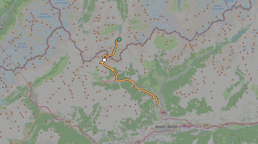
The something was the phone. It died at 15:09, at about 2,170m above Saint-Rhémy-en-Bosses, with roughly 300m of climbing still to go — which is why the ride is logged as "Grand St Bernard. Mobile died." I still rode the last 3.7km and roughly 300m back up to the summit, and then the 6.8km of the Swiss side back down to the car at L'Hospitalet, but none of that is in the recording. Add it back in and the day comes to about 65.7km and 2,085m of climbing — which matches the note I wrote afterwards: "65 Kms plus back to the start." The recording is also in two parts, split at the summit, so Strava shows the Swiss side and the Italian side as two activities, even though it was one ride.
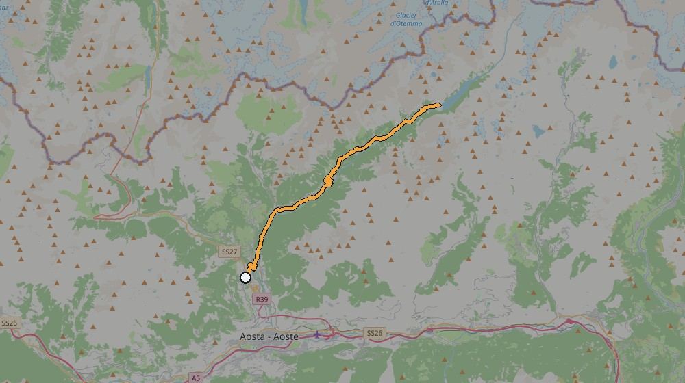
Ride 1 Route, From My Own GPS Track
Ride 2Gignod To The Place Moulin Reservoir Above BionazSaturday 18 September 2021
How The Day Went
2.4kmdown to 805m
18km805m → 1,610mabout 1h 35m
8.5km1,610m → 1,998m
half an hourphotos
27km60.6km/h top speedphoto stops at Bionaz and Oyace
After the day before, this was meant to be the easy one. I thought it would be a steady ride along the valley to the reservoir. How wrong I was. From the bottom of the road, where I turned off into the valley, it climbed all the way to the reservoir, so much for an easy day. It's a lovely route, though, and there wasn't a lot of traffic either.
The next day was a different valley altogether. Instead of the pass, I rode north-east from Gignod up the Valpelline, the long side valley that runs up towards the Swiss border and ends at the Place Moulin reservoir. My own note sums it up: "Stunning scenery all the way up the valley to the reservoir. Beautiful and preserved old Italian houses with breathtaking views. Great area to ride if you like mountain climbs."
Up The Valpelline
For this one I parked the T5 in Gignod, in the small car park by the church, directly across the road from the café where I'd had my coffee the day before, and set off at 12:55. There's a short drop first, down to 805m at the bottom of the valley, and then it climbs almost the whole way: Roisan by 13:10, Valpelline by 13:30 at about 1,065m, Oyace at 14:00 at 1,350m, and Bionaz at 14:35 at 1,610m.
The Reservoir
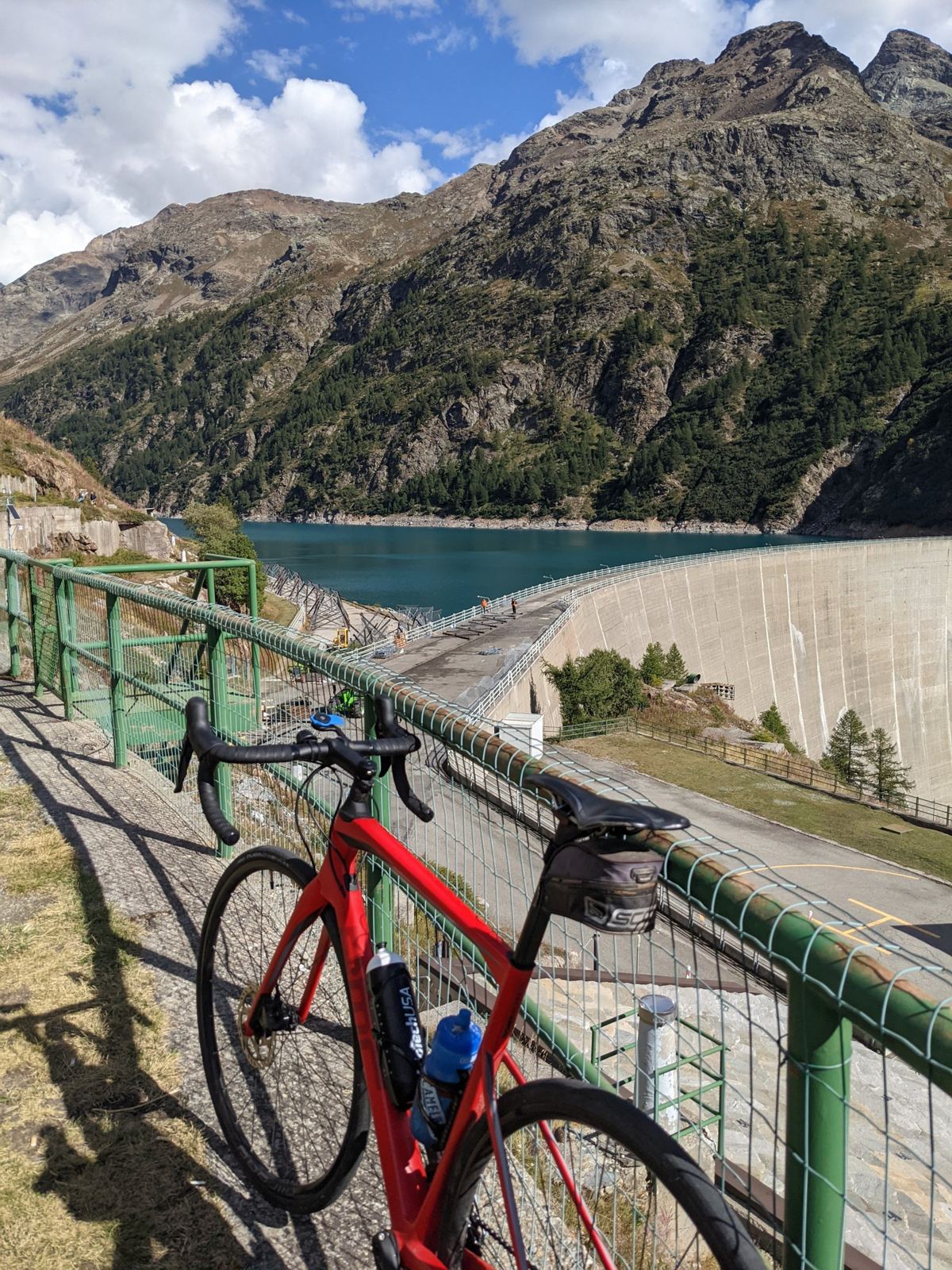
Above Bionaz the road reaches the Place Moulin dam and then carries on along the side of the reservoir. I rode to the far end, the highest point of the day at just under 2,000m, and stopped there for a good half hour with the bike and the view.
Back Down The Valley
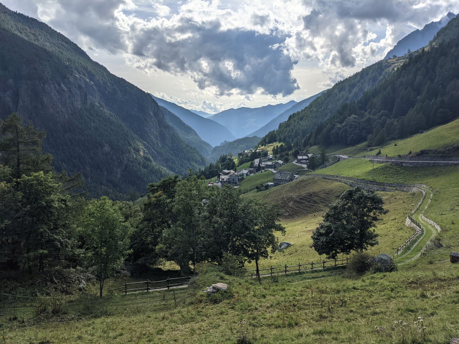
At about 15:55 I turned round and rode back down the same road, past Bionaz again at 16:10 and Valpelline by 16:35, and back in Gignod at 17:04. Going down is fast, with a top speed of 60km/h, but I stopped a couple of times for photos on the way.
Ride 2 Route, From My Own GPS Track
Around The Rides
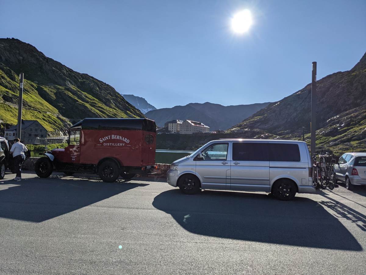
A couple more photos from the pass itself. The morning after Ride 1, on 18 September, I was back at the summit early, before Ride 2:
And from earlier visits to the pass that summer, in August 2021: