France · Savoie · Isère

The French Alps: Three Days, Roselend, Galibier & Alpe d'Huez

The Galibier from the top, 20 August 2012
Scroll ↓

Three days in a row in August 2012, in a heatwave, with the lads: the Cormet de Roselend from Albertville; the Télégraphe, the Galibier and the Glandon in one 165km day from Saint-Jean-de-Maurienne, the biggest climbing day of my life at 4,063m; and Alpe d'Huez, all 21 hairpins. 322km and 7,755m in three days.

In August 2012 I went to the French Alps with friends for the big Tour de France climbs, and we did them back to back in some of the hottest weather I've ridden in. The notes say it: "Unbelievably hot ride..." on the first day, and on the second, the one I called Killer Day, "Absolutely boiling, and 160 + kilometres and Galibier and Glandon thrown in..."

The Climbs

The Col du Galibier, at 2,642m, is the climb most often at the roof of the Tour de France. It was first used in 1911, when Émile Georget was first over the top, and it's been crossed 31 times since 1947. A monument to Henri Desgrange, the Tour's founder, stands at the south end of the old tunnel; the Souvenir Henri Desgrange prize goes to the first rider over the Tour's highest point each year. From Saint-Michel-de-Maurienne, including the Col du Télégraphe, it's 34.8km and 2,120m at 6.1%. In 2011 Andy Schleck won the first summit finish on the pass after a 60km solo attack.

The Col du Glandon, 1,924m, links Le Bourg-d'Oisans with La Chambre in the Maurienne. The road opened in 1898 and was first crossed by the Tour in 1947. From the Bourg-d'Oisans side it's 24.1km and 1,152m; the La Chambre side is 21.3km at 6.9%, with the last two kilometres over 10%.

Alpe d'Huez needs no introduction: 13.8km from Le Bourg-d'Oisans and 1,120m at 8.1%, up 21 hairpins, each named after a stage winner, to 1,860m. It was the Tour's first ever summit finish in 1952, won by Fausto Coppi, and Dutch riders won so many of the early finishes that it's known as the Dutch mountain.

The Cormet de Roselend, 1,968m, links Beaufort and Bourg-Saint-Maurice past the Lac de Roselend: about 20km and 1,200m from either side at around 6%. The Tour first used it in 1979.

Day 1Albertville, Lac de Roselend And The Cormet de RoselendSunday 19 August 2012

Start & finish: AlbertvilleCormet de Roselend, 1,968mLac de RoselendBourg-Saint-MauriceMoûtiers
Day 1, from my GPS track. Green: Albertville. Up through Beaufort to the Lac de Roselend and the Cormet (red), down to Bourg-Saint-Maurice and back along the Isère through Moûtiers. This ride on Strava →
113.0kmDistance
2,436mClimbing
269mLowest point (Albertville)
5h 17mMoving time
09:21–17:39Out on the road (8h 17m)
21.4km/hAverage moving speed
76.0km/hTop speed
112 / 151Heart rate, average / max (bpm)
3,579Calories
1,968mHighest point (the Cormet)
Six13Bike (road)

How The Day Went

09:22 – 09:42
Coffee firstAlbertville

20 min

09:42 – 12:14
The long climbAlbertville → Beaufort → Lac de Roselend

32km+1,150m

12:14 – 13:23
Lunch by the lakeLac de Roselend

69 min

13:23 – 13:56
To the top→ Cormet de Roselend, 1,968m

6.2km+307m

14:07 – 15:18
Down the other side→ Bourg-Saint-Maurice → Aime

35km−1,100m

15:30 – 17:38
Back along the IsèreAime → Moûtiers → Albertville

42kmwith a stop in Moûtiers

We started with a coffee in Albertville, then the long drag up through the Beaufortain to Beaufort, where the cheese comes from, and on up towards the Lac de Roselend: 32km and 1,150m before lunch. Lunch was by the lake for over an hour, and then the last 6km to the Cormet. Down the far side to Bourg-Saint-Maurice and back along the Isère valley through Aime and Moûtiers. 113km and 2,436m, and unbelievably hot.
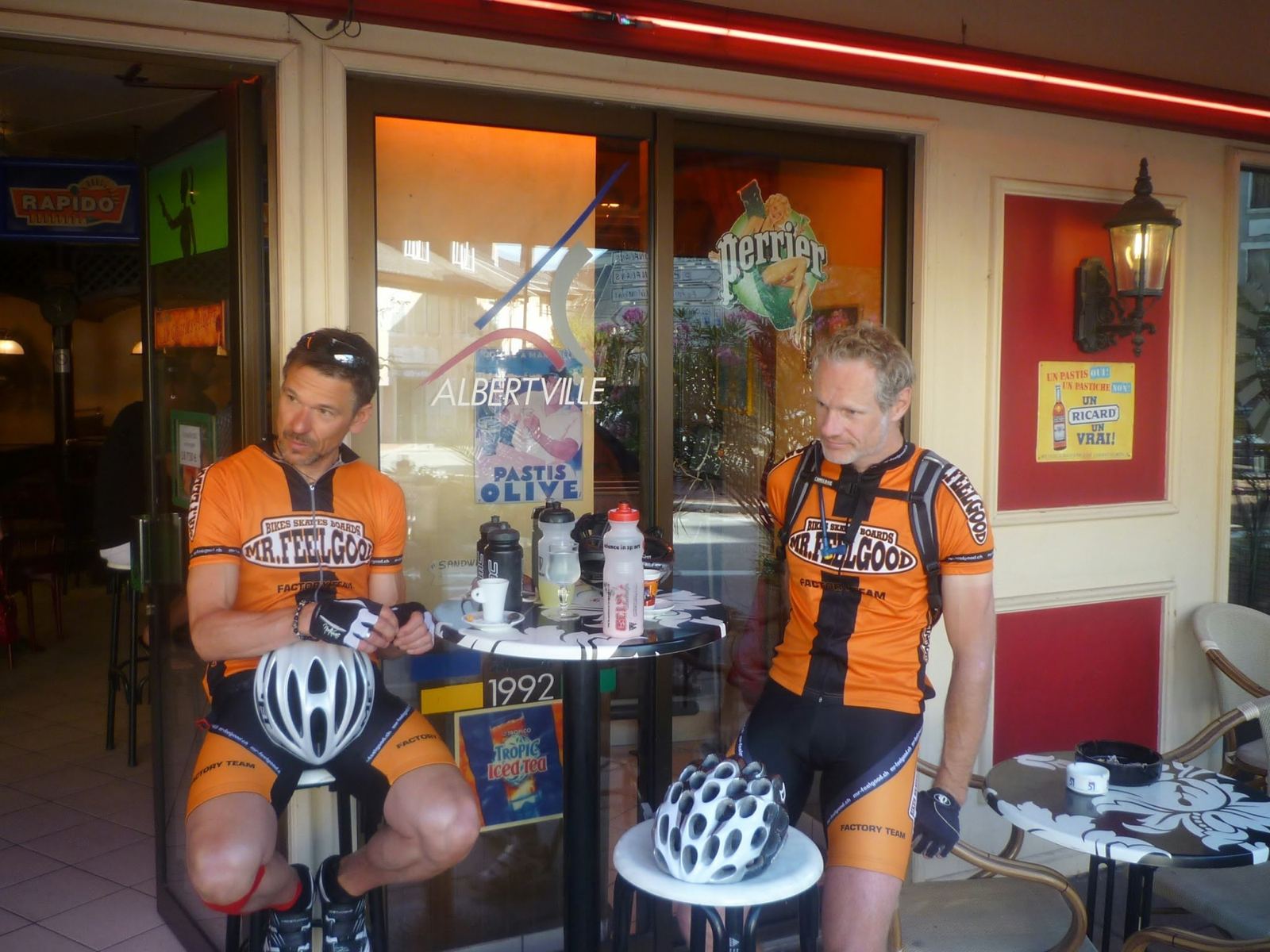
Two cyclists in orange Mr Feelgood jerseys at a café in Albertville
09:30: coffee in Albertville before the start.
The main street of Beaufort with cafés and shops
10:50: Beaufort.
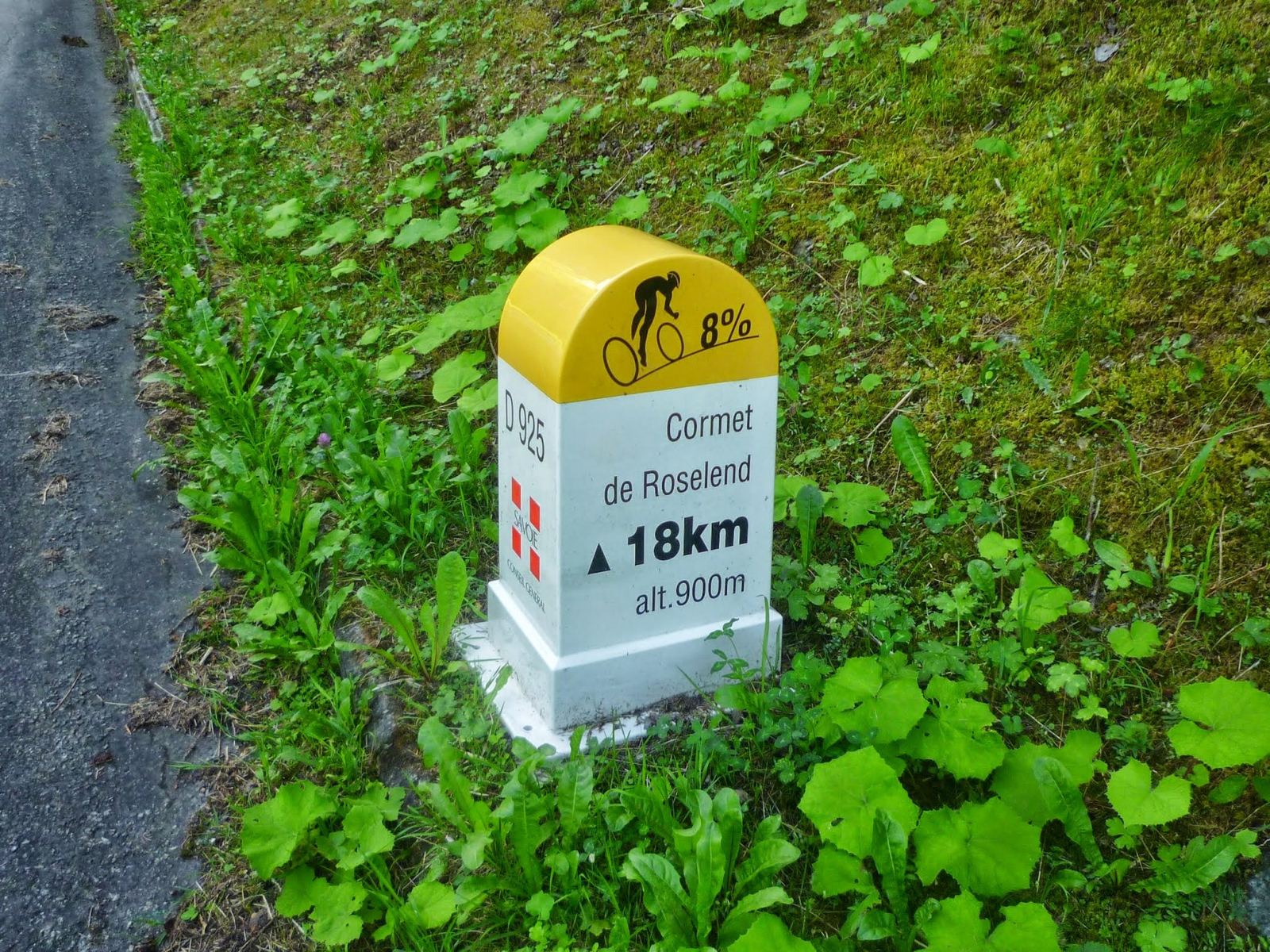
A Cormet de Roselend kilometre marker: 18km to go, 8%
11:08: 18km to the Cormet, at 8%.
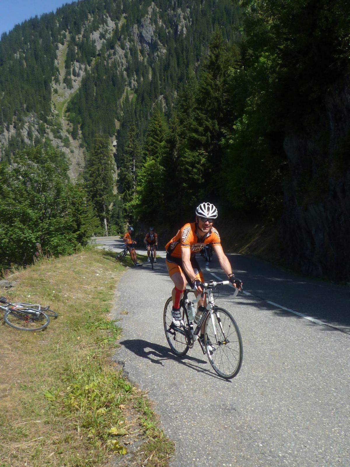
A cyclist in an orange jersey climbing towards the Cormet de Roselend through woods
12:06: on the climb.
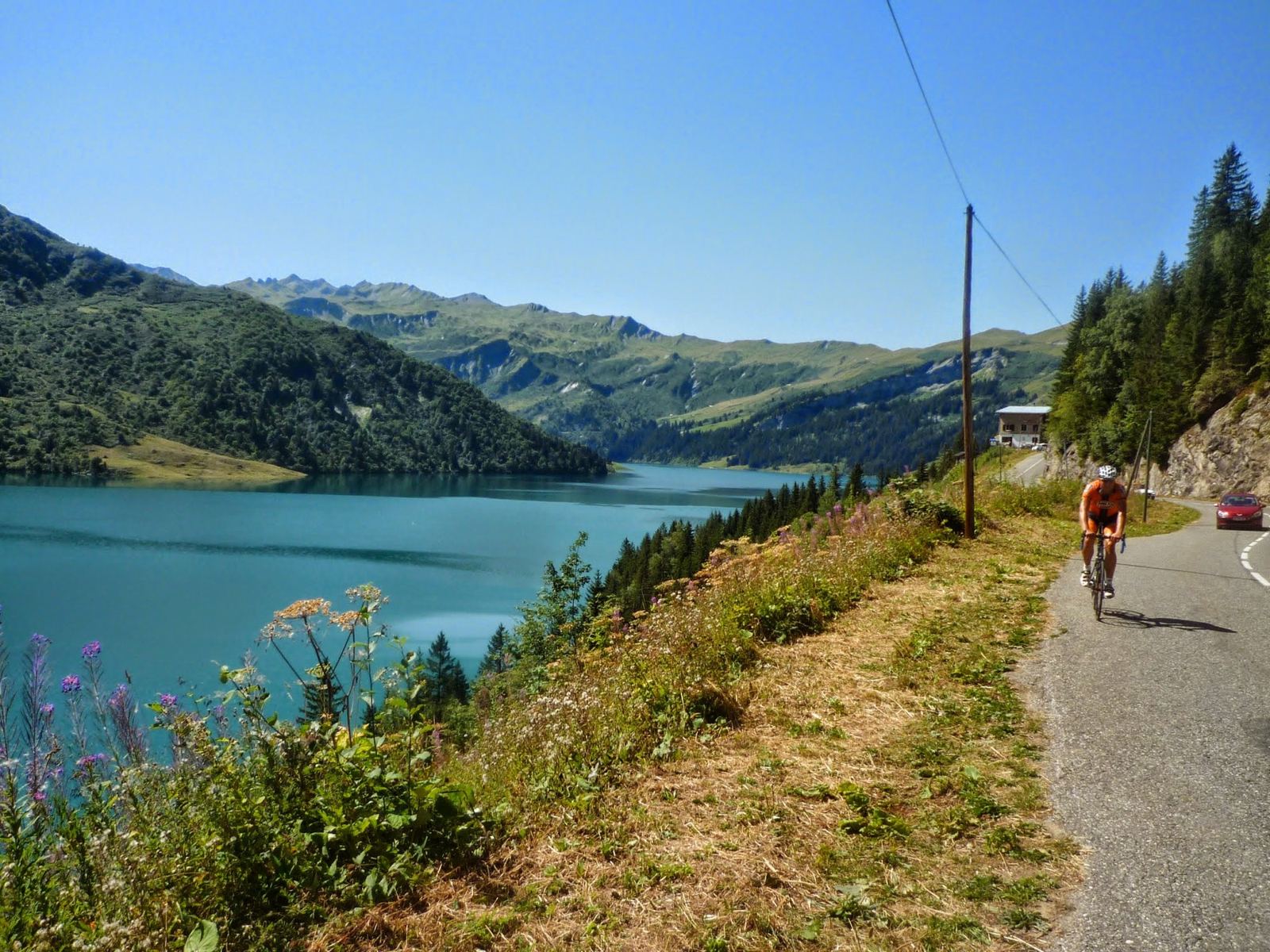
The turquoise Lac de Roselend below green mountains, a cyclist on the road above
12:16: the Lac de Roselend.
Cyclists at lunch on a terrace by the Lac de Roselend
12:24: lunch by the lake.
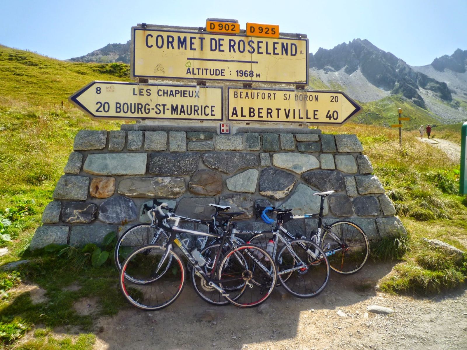
The Cormet de Roselend summit sign, altitude 1968m, with bikes leaning on the stone base
14:04: the Cormet de Roselend, 1,968m.
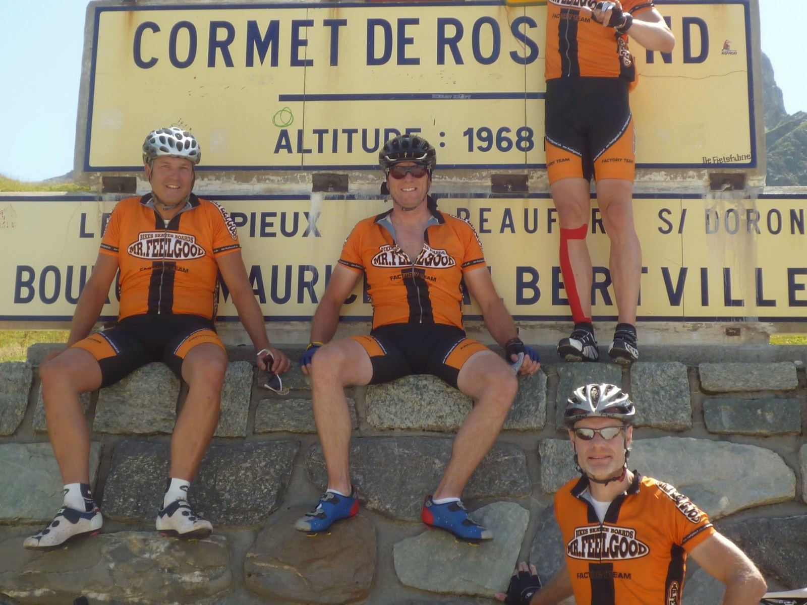
Three cyclists sitting on the Cormet de Roselend summit sign
The lads at the top.

Day 2Killer Day: Télégraphe, Galibier And GlandonMonday 20 August 2012

Start & finish: Saint-Jean-de-MaurienneCol du Galibier, 2,642mCol du Glandon, 1,924mCol du TélégrapheValloireCol du LautaretLe Bourg-d'Oisans
Day 2, from my GPS track. Green: Saint-Jean-de-Maurienne. Up the Télégraphe and the Galibier, down past the Lautaret and La Grave to Le Bourg-d'Oisans, up the Glandon, and down to La Chambre and home. This ride on Strava →
165.0kmDistance
4,063mClimbing
456mLowest point
7h 42mMoving time
08:48–19:16Out on the road (10h 28m)
21.4km/hAverage moving speed
129 / 163Heart rate, average / max (bpm)
5,554Calories
2,642mHighest point (the Galibier)
3Cols
Six13Bike (road)

How The Day Went

08:48 – 10:50
Col du TélégrapheSaint-Jean-de-Maurienne → Saint-Michel → the Télégraphe

26km+1,030m

10:28 – 10:50
Stopnear Valloire

21 min

10:57 – 12:31
Col du GalibierValloire → the top, 2,642m

about 18km+1,245mthe last 5km at 8%

12:32 – 12:58
On the Galibier2,642m

26 minphotos

13:27 – 14:28
LunchCol du Lautaret, 2,058m

61 min

14:28 – 15:55
Down the RomancheLa Grave → Le Bourg-d'Oisans

46km−1,350m

15:55 – 18:14
Col du GlandonRochetaillée → Allemond → the top, 1,924m

34km+1,200min the heat of the afternoon

18:21 – 18:57
Down the GlandonSaint-Colomban-des-Villards → La Chambre

21.7km−1,300m

18:57 – 19:16
Home→ Saint-Jean-de-Maurienne

9.5km

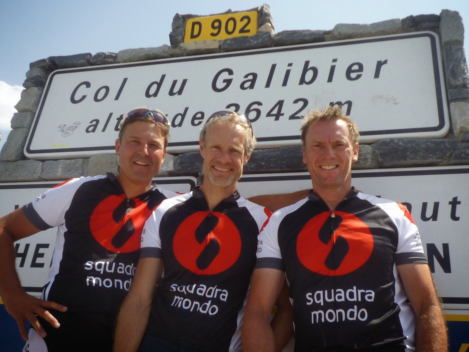
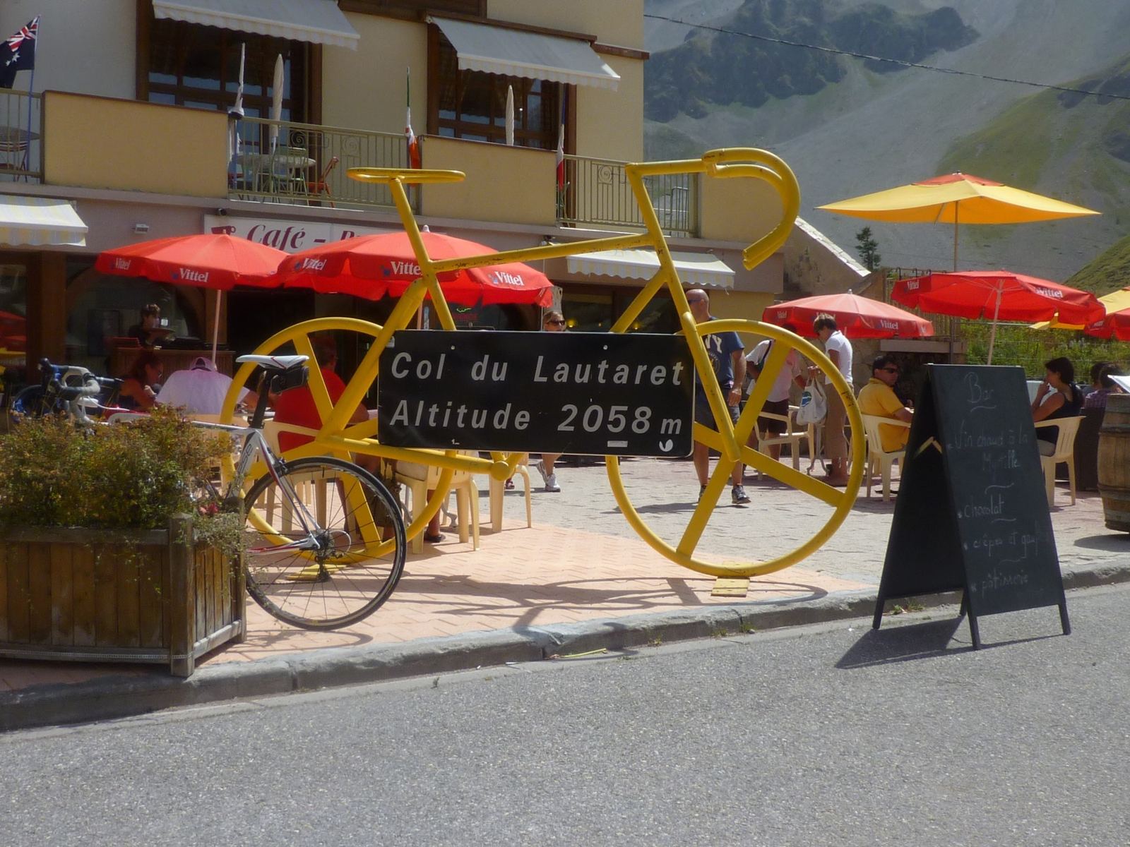
The big one. We left Saint-Jean-de-Maurienne at 08:48 and rode up the valley to Saint-Michel and the Col du Télégraphe, then on through Valloire to the Galibier, the last 5km at over 8%, to the sign at 2,642m at 12:31. Twenty-six minutes on the top for photos, a short descent to the Col du Lautaret for an hour's lunch under the giant yellow bike, and then 46km downhill along the Romanche valley to Le Bourg-d'Oisans.

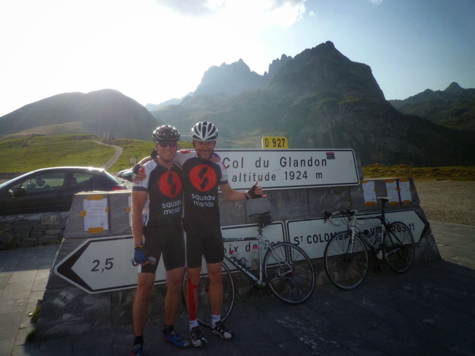
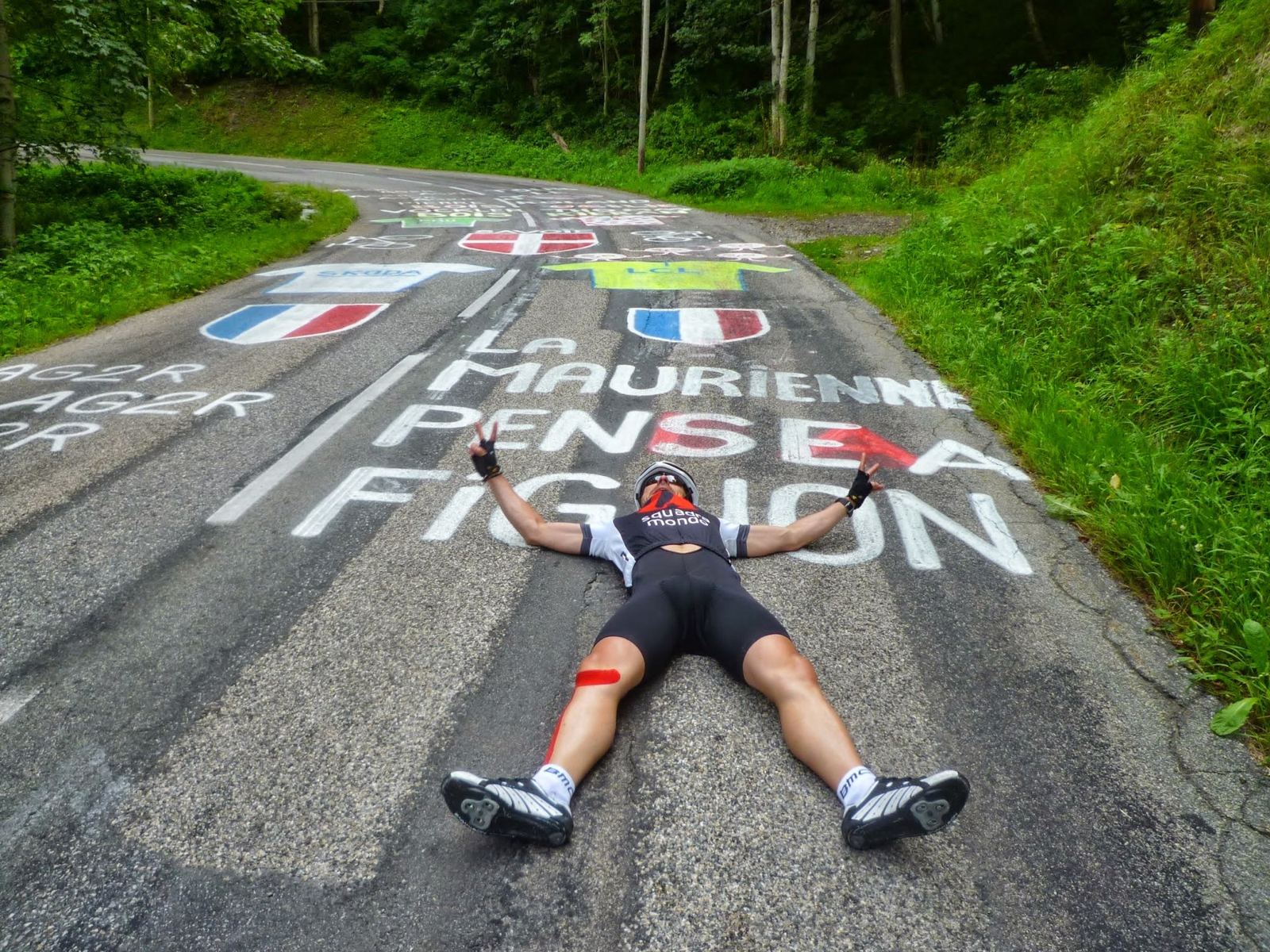
That would have been a big day on its own. Instead we turned north at Rochetaillée and climbed the Glandon in the late-afternoon heat, through Allemond and on up to 1,924m at 18:14, before the long descent on the Maurienne side, where someone had painted a tribute on the road to Laurent Fignon, the two-time Tour winner who had died two years before. Back in Saint-Jean at 19:16: 165km, 4,063m of climbing, seven hours 42 minutes of riding and over ten hours out. The biggest climbing day in all my Strava history.
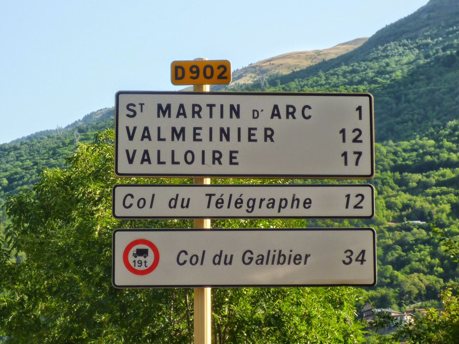
Road signs on the D902: Valloire 17, Col du Télégraphe 12, Col du Galibier 34
09:32: 34km to the Galibier.
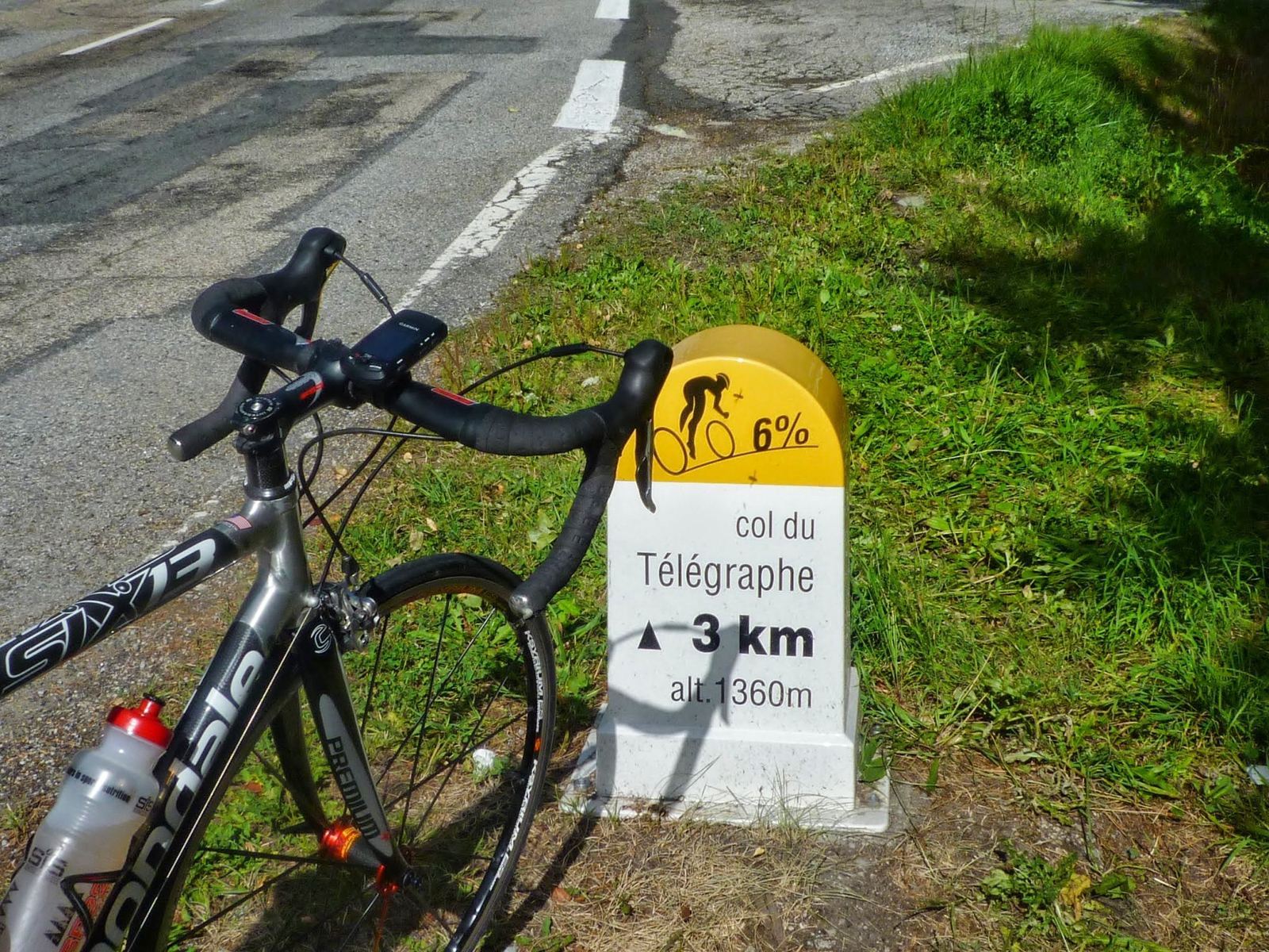
A bike against the Col du Télégraphe marker: 3km to go at 6%
10:19: 3km to the Télégraphe.
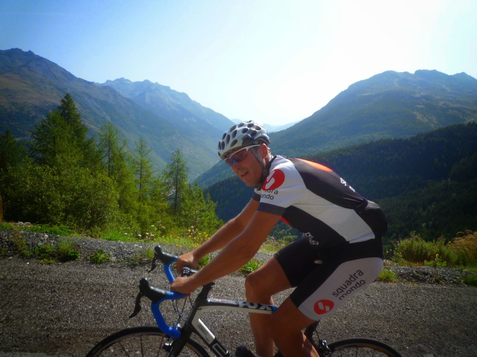
A cyclist in a Squadra Mondo jersey climbing the Télégraphe with mountains behind
10:30: nearly there.
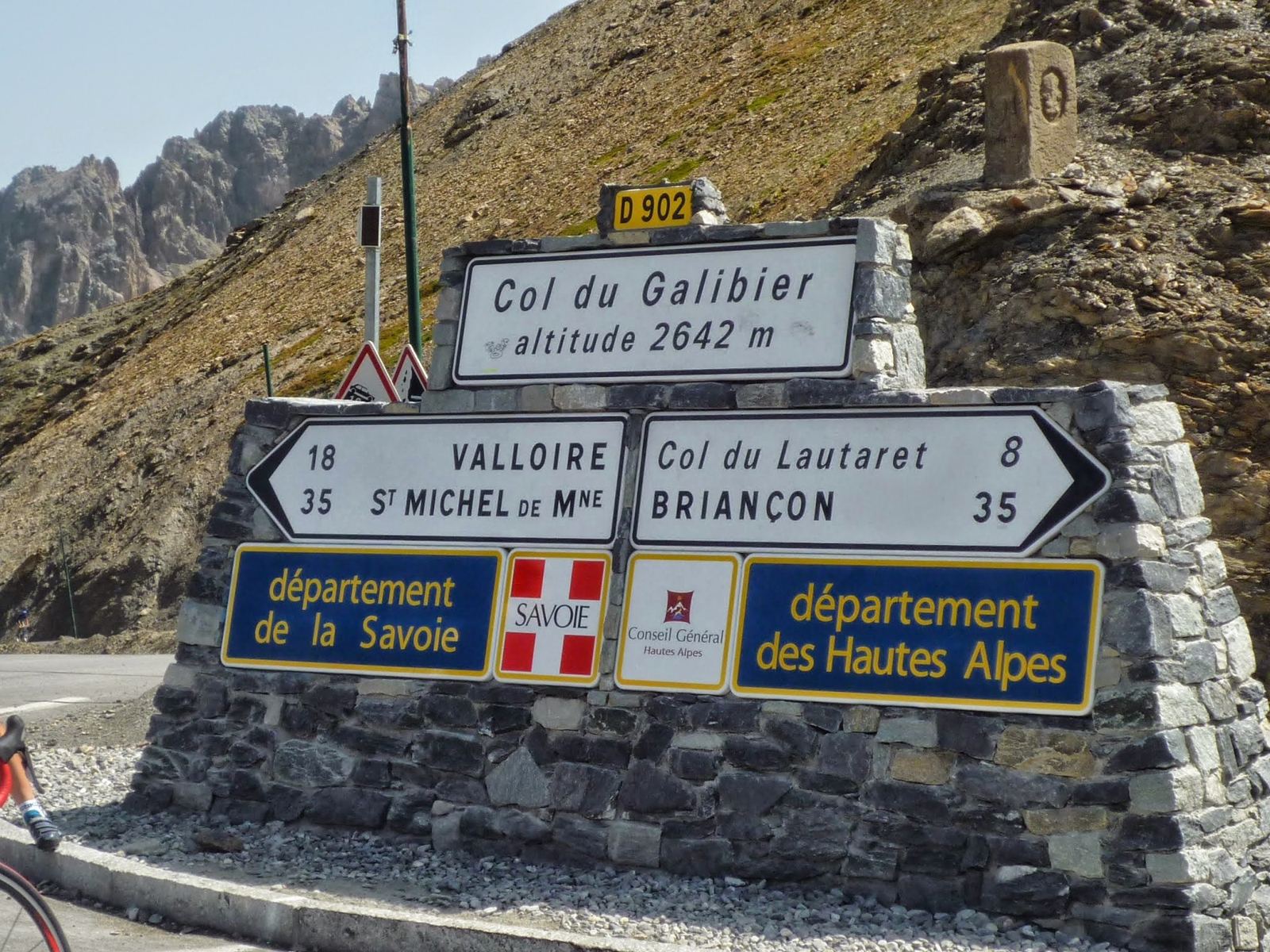
The Col du Galibier summit sign, altitude 2642m
12:38: the Col du Galibier, 2,642m.
Three cyclists in Squadra Mondo jerseys at the Col du Galibier sign
13:01: the three of us at the top.
A giant yellow bicycle sculpture at the Col du Lautaret café, altitude 2058m
13:34: lunch at the Col du Lautaret, 2,058m.
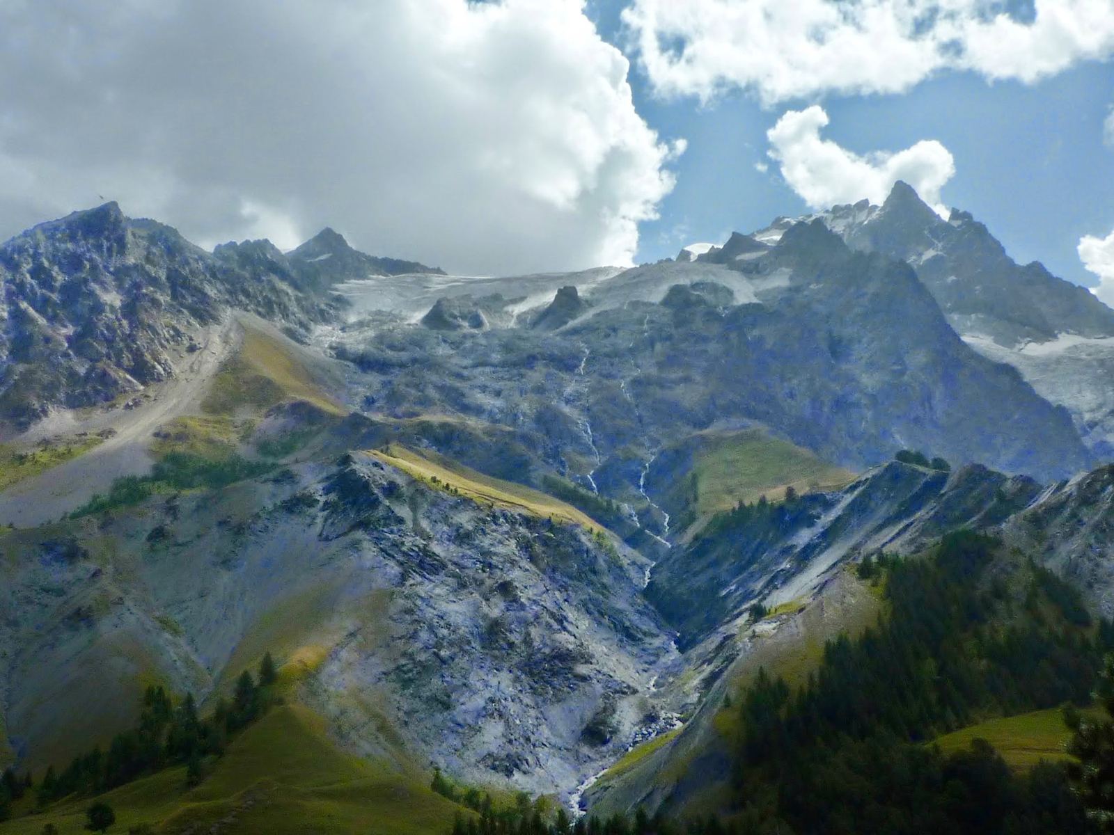
Jagged snow-streaked mountains above the Romanche valley
14:49: the mountains above the valley on the way down.
Two cyclists with their bikes at the Col du Glandon sign, altitude 1924m
18:17: the Col du Glandon, 1,924m.
A giant metal bicycle sculpture on a grassy hillside by the Glandon road
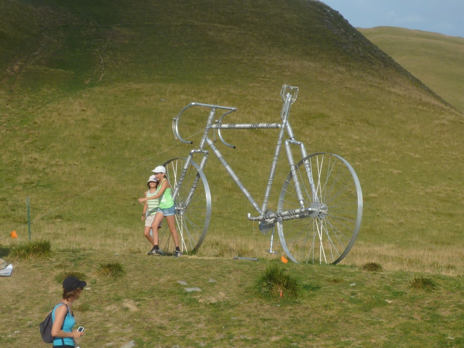
18:18: the giant bike by the Glandon.
A cyclist lying on the road beside painted words La Maurienne pense à Fignon
18:46: “La Maurienne pense à Fignon”, painted on the descent.
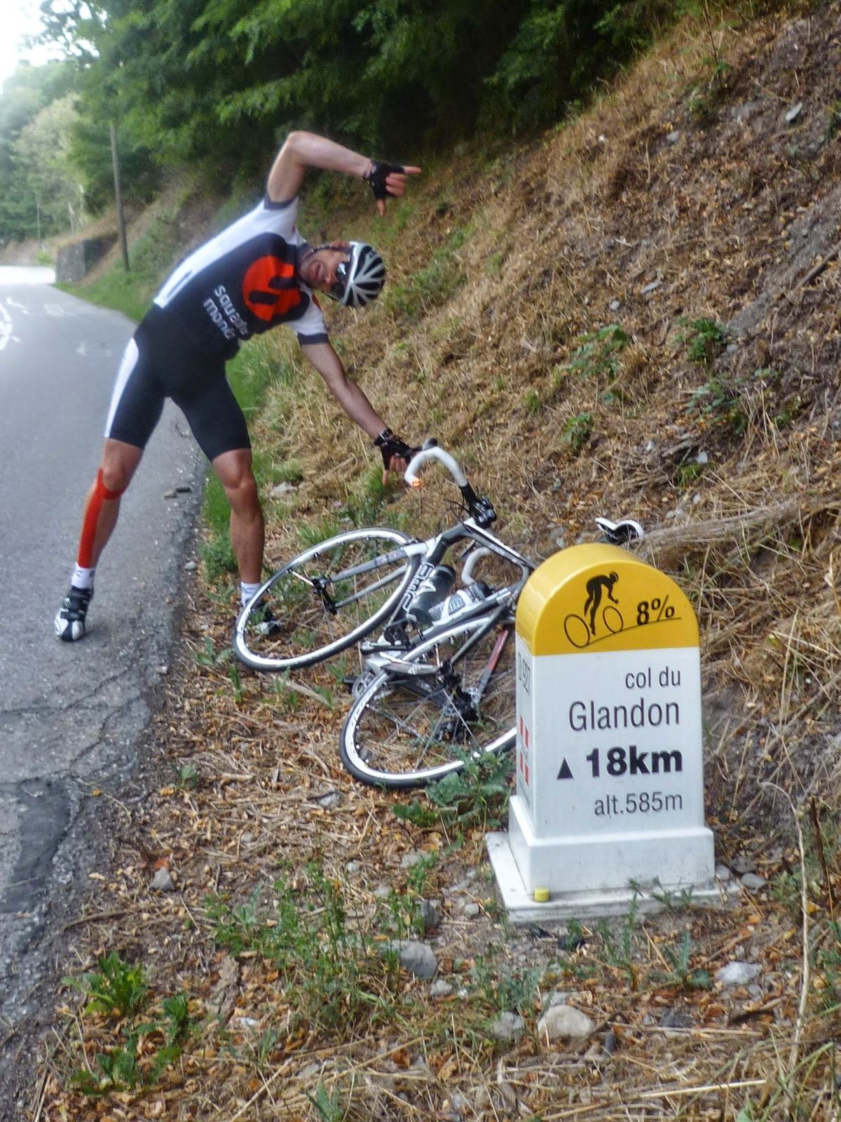
A Col du Glandon kilometre marker by the road with a bike
18:55: still coming down.

Day 3Alpe d'Huez, All 21 HairpinsTuesday 21 August 2012

Start & finish: RochetailléeL'Alpe d'Huez, 1,860mLe Bourg-d'Oisans
Day 3, from my GPS track. Green: Rochetaillée. Down the valley to Le Bourg-d'Oisans, up the 21 hairpins to Alpe d'Huez (red), and back. This ride on Strava →
44.0kmDistance
1,256mClimbing
631mLowest point
2h 18mMoving time
10:58–15:20Out on the road (4h 22m)
19.1km/hAverage moving speed
66.1km/hTop speed
122 / 159Heart rate, average / max (bpm)
1,652Calories
1,860mHighest point (Alpe d'Huez)
21Hairpins
Six13Bike (road)

How The Day Went

10:58 – 11:39
To the footRochetaillée → Le Bourg-d'Oisans → La Garde

11.3km+315m

11:39 – 11:56
StopLa Garde

17 min

11:57 – 13:02
Alpe d'Huezthe 21 hairpins

9.9km+802m8.1% average65 min

13:07 – 14:26
At the topL'Alpe d'Huez

79 minlunch

14:26 – 15:08
Down the hairpins→ Le Bourg-d'Oisans → Rochetaillée

22km−968m

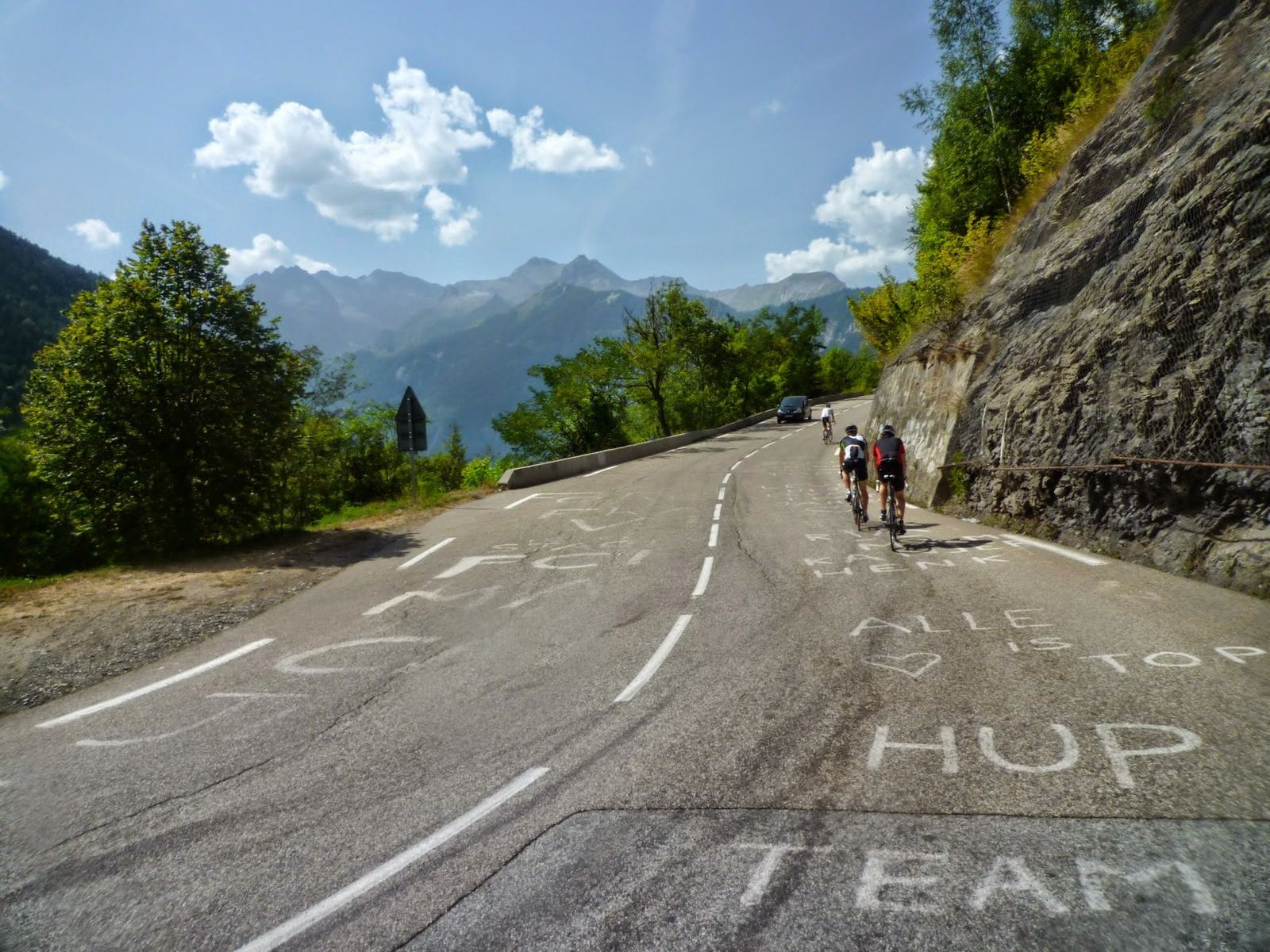
The last day, and the famous one. From Rochetaillée down to Le Bourg-d'Oisans and onto the climb, with a stop at La Garde, then the hairpins: each one numbered on a board counting down from 21, each named after a stage winner, with the road covered in painted names from the Tour. 9.9km and 802m at 8.1% from La Garde to the top in 65 minutes, past the "Arrivée" sign at 13:12, and a long lunch at the top before descending the same 21 bends. 44km and 1,256m.
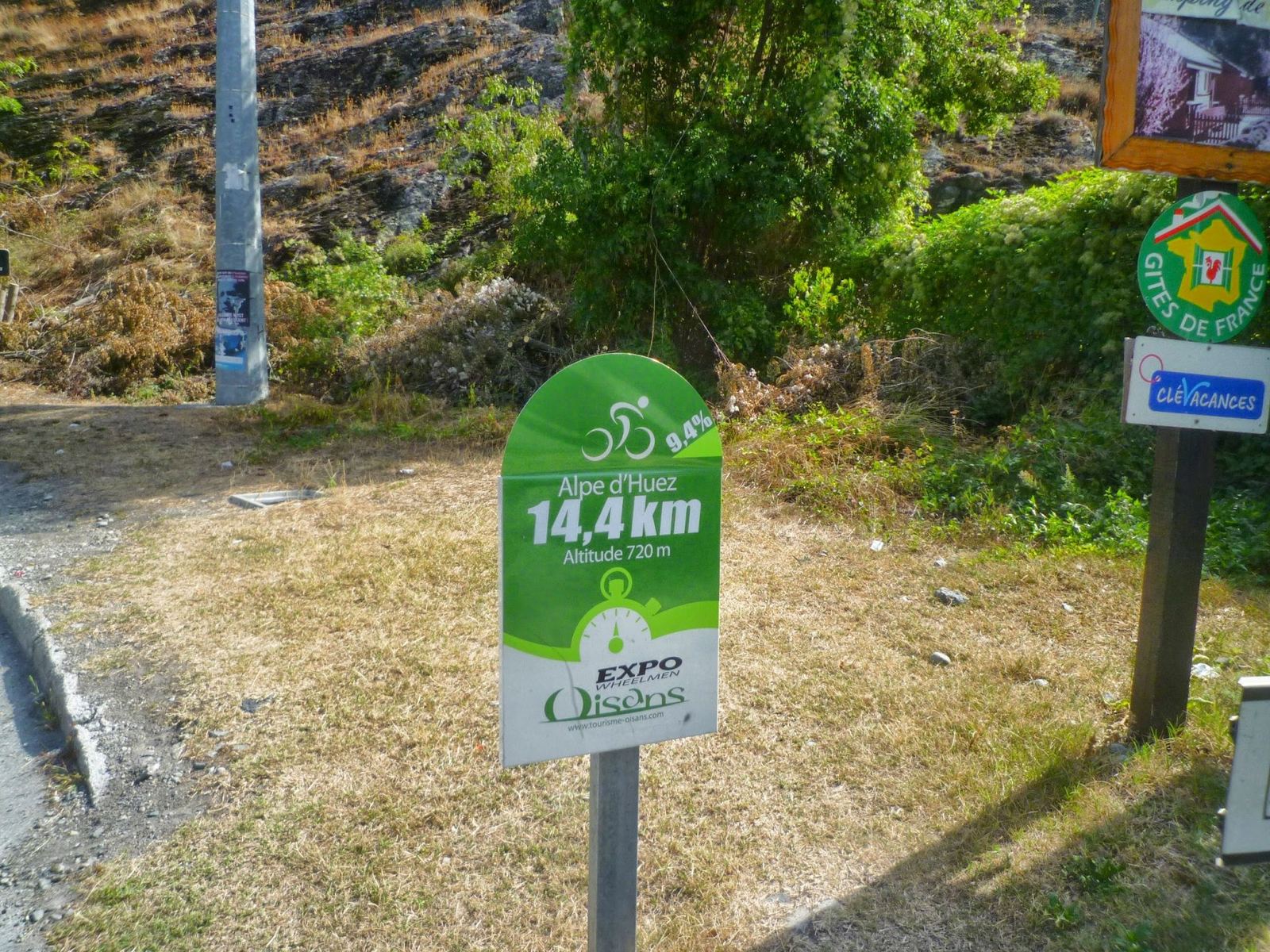
A green board at the foot of Alpe d'Huez showing 14.4km to the top
11:23: the start board, 14.4km to go.
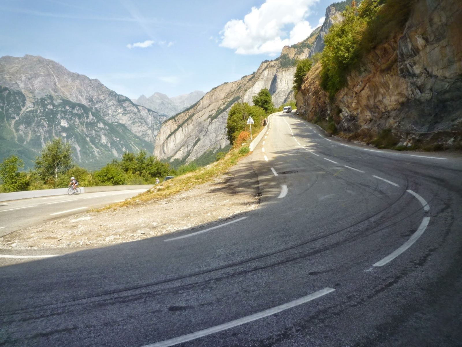
Cyclists climbing the hairpins of Alpe d'Huez with the valley and mountains behind
11:36: into the hairpins.
The hairpin board for bend 18 on Alpe d'Huez
11:39: bend 18.
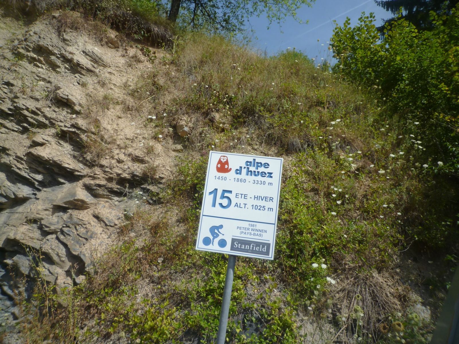
The hairpin board for bend 15 on Alpe d'Huez
12:04: bend 15.
A cyclist on the Alpe d'Huez road with painted names on the tarmac
12:04: the painted road.
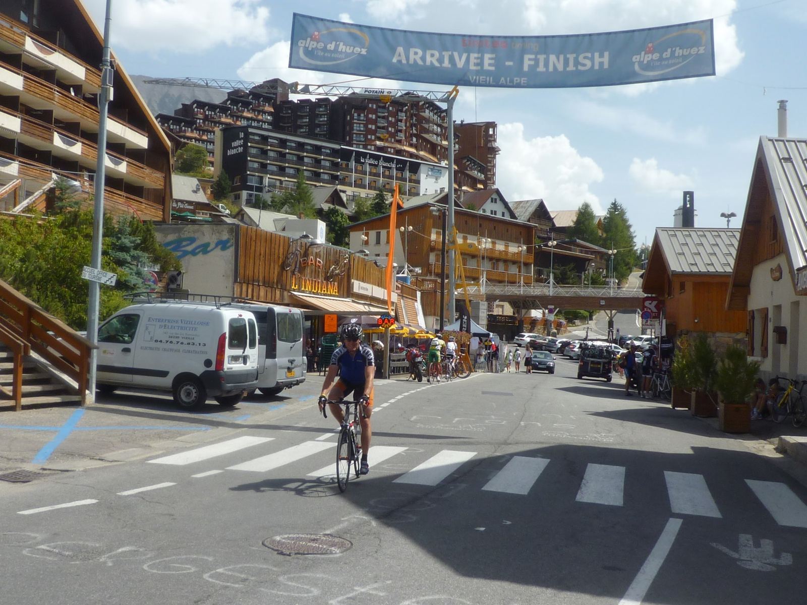
The resort of Alpe d'Huez with banners across the road and riders arriving
12:59: into the resort.
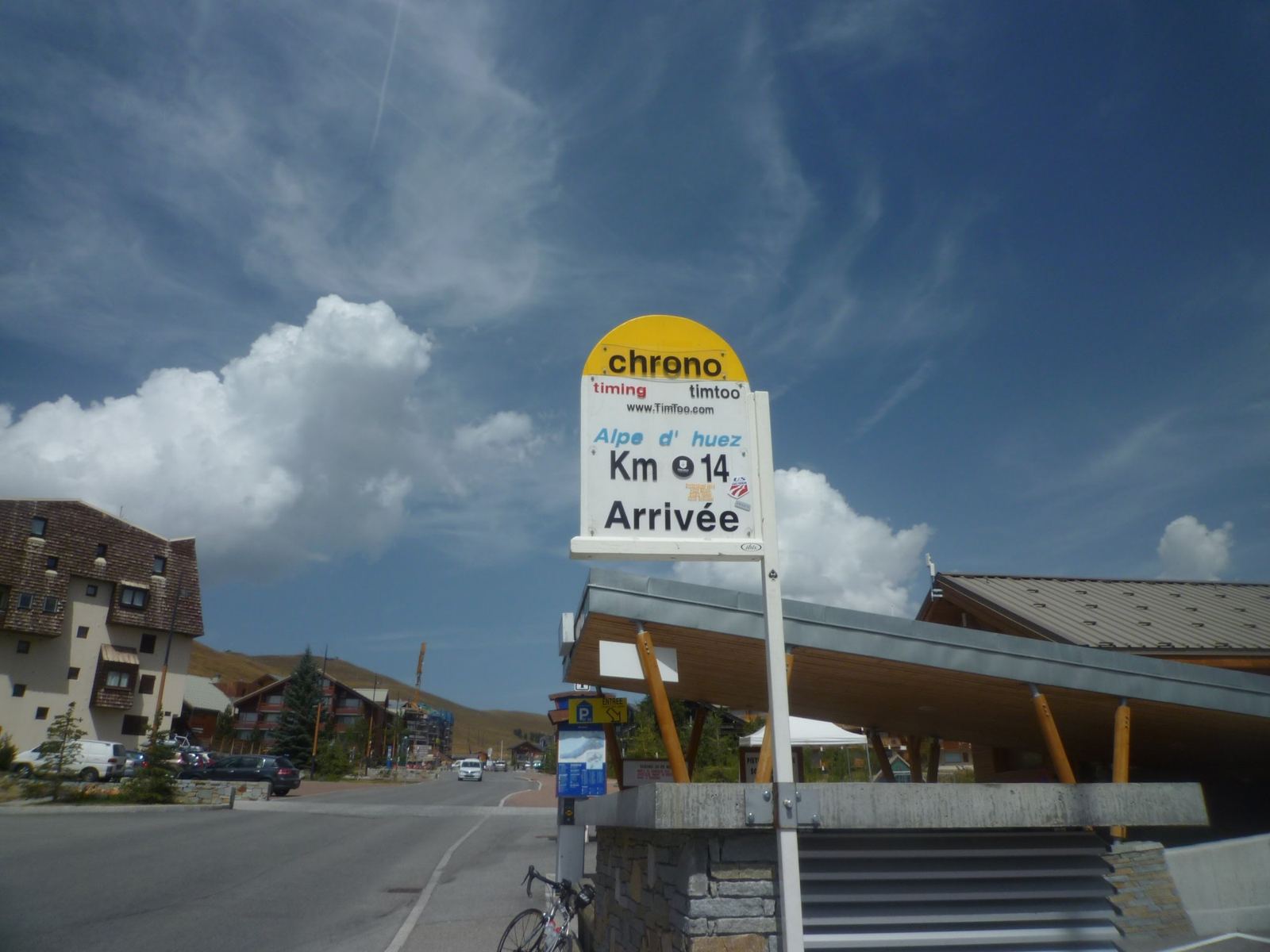
The Arrivée finish sign at Alpe d'Huez
13:12: Arrivée.
Three cyclists at lunch on a terrace at Alpe d'Huez
13:47: lunch at the top.
Looking down the stacked hairpins of Alpe d'Huez from above
14:46: going back down.

A Gentler Return, Ten Years Later

In April 2022 we were back in the Beaufortain, this time with my wife on her bike on the flat valley cycle path near Beaufort, nothing like the 2012 climbs.
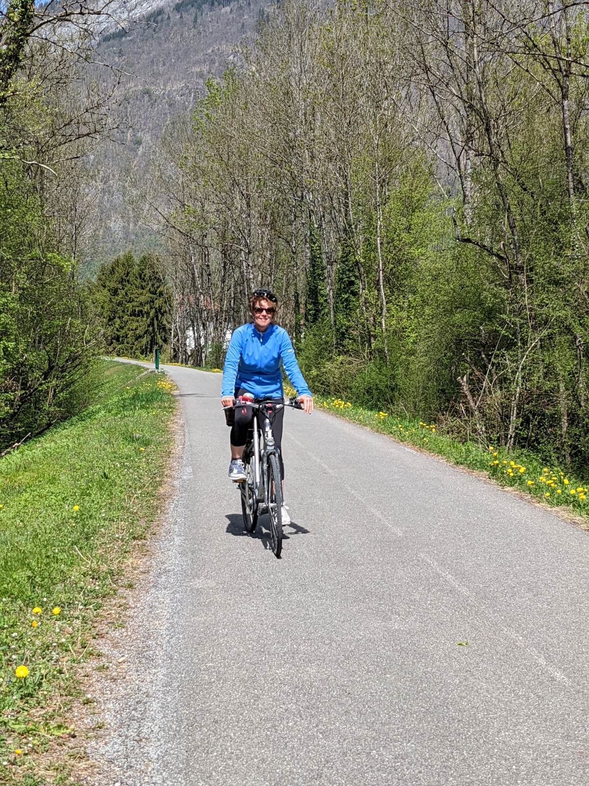
My wife cycling a flat valley path near Beaufort in the French Alps
The valley cycle path near Beaufort (April 2022).
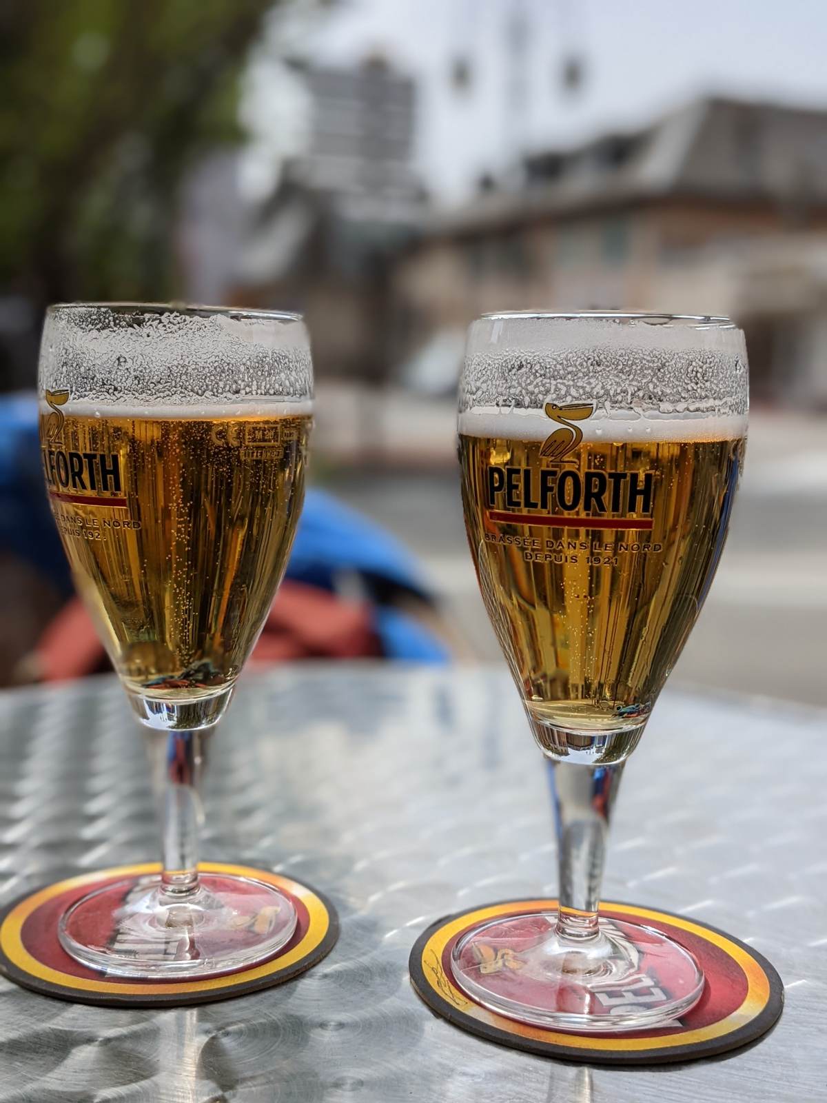
Two beers on a table in the Beaufortain
And a beer afterwards (April 2022).

Where It Is

The Galibier (marker), with the Maurienne to the north, Alpe d'Huez to the west and the Beaufortain and Roselend further north.