Italy · Piedmont · Valle Cannobina

Falmenta & Crealla: A Climber's Ride

Crealla, on the ride
Scroll ↓

Two hilltop villages on the south side of the Valle Cannobina: a beautiful winding climb to Falmenta, a drop down to Crealla, and a very steep climb out of Crealla's little square. 36.8km and 1,078m. Great for climbing nuts.

On Wednesday 13 May 2026, a week into a fortnight in Cannobio, I went looking for the small roads. My note: "A climbers ride. The route to Falmenta is a beautiful winding 3km climb and then a drop down again. The climb to Crealla is very steep, especially when leaving the town square to come back. Great for climbing nuts."

Falmenta And Crealla

Falmenta and Crealla are two of the eight villages of the Valle Cannobina municipality, perched on the hillside above the river, each with its own road up from the valley. They're stone villages of the old Alpine kind: houses of rough-cut stone with stone roofs and wooden balconies, and the old paths between them are signed walking routes today.

The RideCannobio, Falmenta And CreallaWednesday 13 May 2026

Start & finish: CannobioCreallaTraffiumeFalmenta
The route, from my GPS track. Green: Cannobio. Up the valley, the winding climb to Falmenta, down to Crealla (white) and the steep climb back out, and down to the lake. This ride on Strava →
36.8kmDistance
1,078mClimbing
776mHighest point (above Falmenta)
208mLowest point (Cannobio)
2h 30mMoving time
11:53–14:38Out on the road (3h 14m)
14.7km/hAverage moving speed
49.6km/hTop speed
118 / 155Heart rate, average / max (bpm)
1,631Calories

How The Day Went

11:53 – 12:33
Up the valleyCannobio → Sant'Anna → Ponte Cavaglio

10km208m → 429m

12:33 – 13:09
The winding climb→ Falmenta

6km→ 709mbeautiful

13:09 – 13:19
Drop downFalmenta → Crealla

2km

13:20 – 13:30
CreallaThe village square

photos

13:30 – 13:43
Out of the squareCrealla → Gaggiolone

2kmvery steepto 730m

13:43 – 14:38
HomeFalmenta → the hairpins → Cannobio

17.5km−526m

From Cannobio it's 10km up the valley road to the turn, then the climb to Falmenta, winding up through the woods in hairpins. From Falmenta the road drops to Crealla, and I stopped in the square at 13:20 to look round the old houses. Then the bit the note warns about: out of the square and back up, very steep, to about 730m at Gaggiolone, before the long run back down through Falmenta and the hairpins to the lake at 14:38.
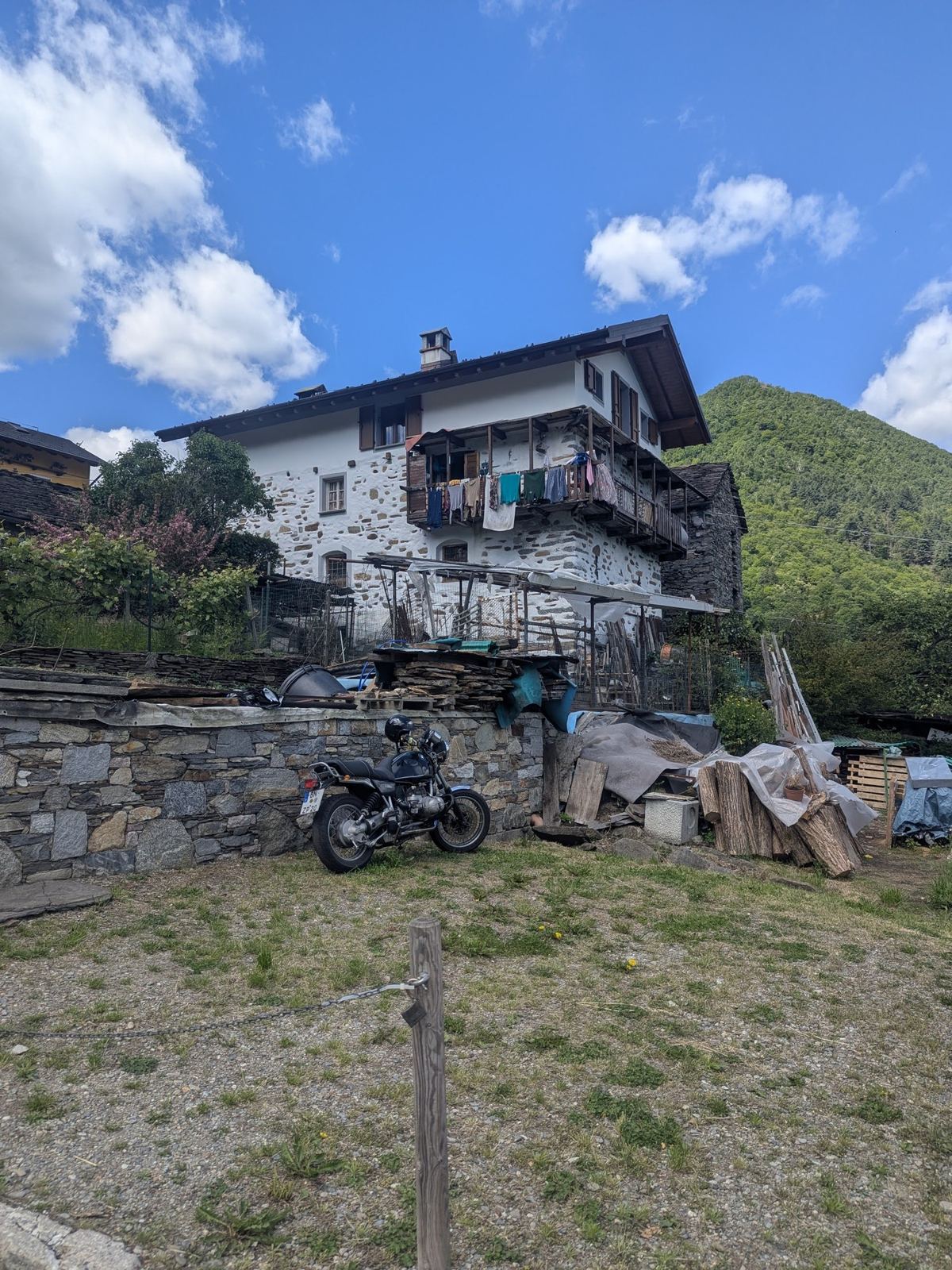
A bike leaning against a stone wall below an old stone house in Crealla
13:20: Crealla.
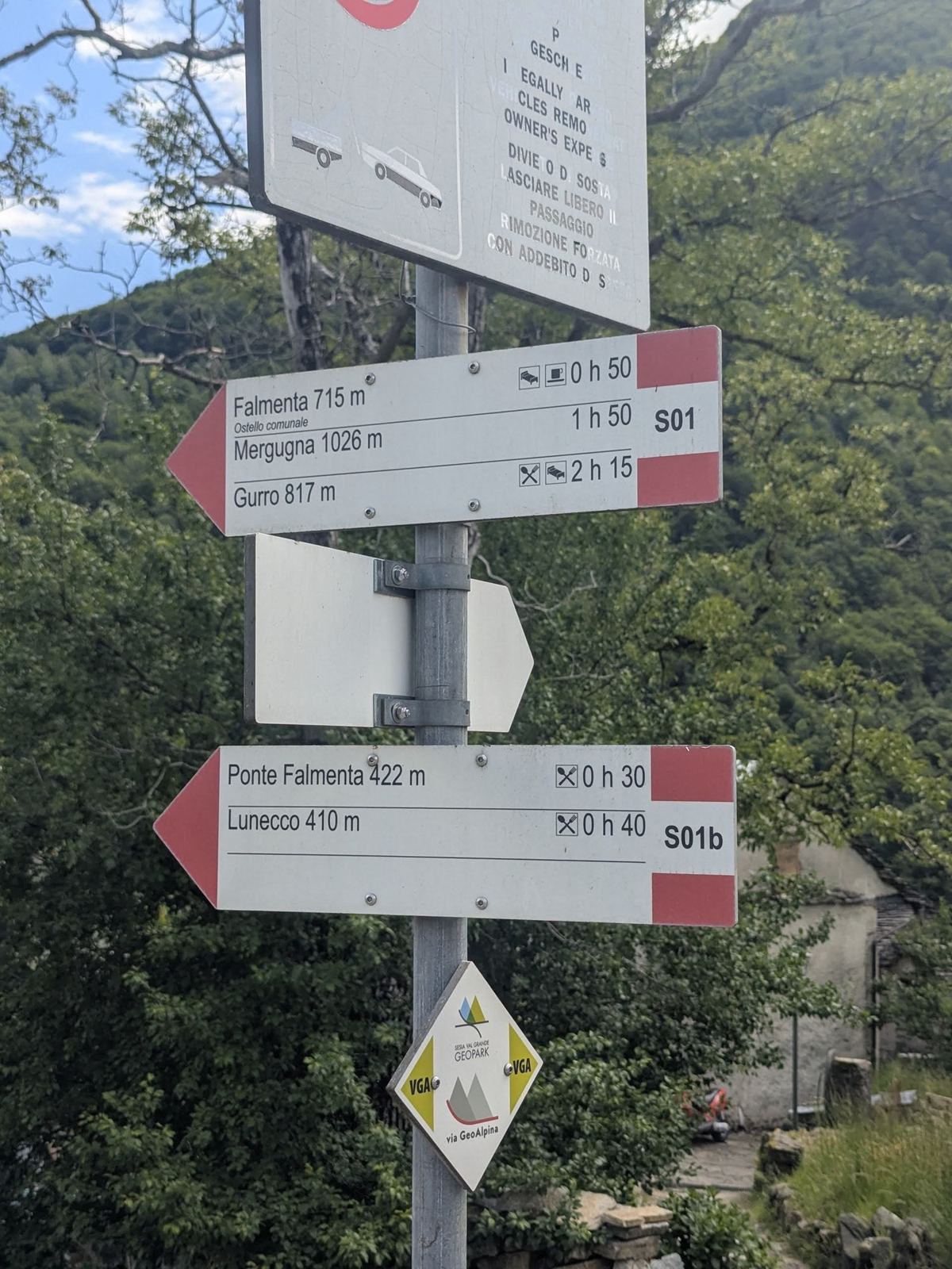
Red-and-white walking signposts in Crealla pointing to Falmenta, Lunecco and other villages
13:21: the old mule tracks are signed paths now.
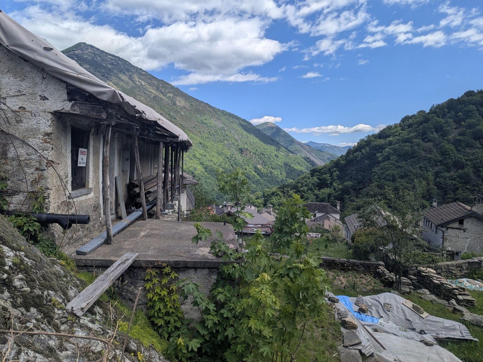
The Valle Cannobina from Crealla, stone houses in the foreground and wooded mountains beyond
13:25: the view down the valley from Crealla.
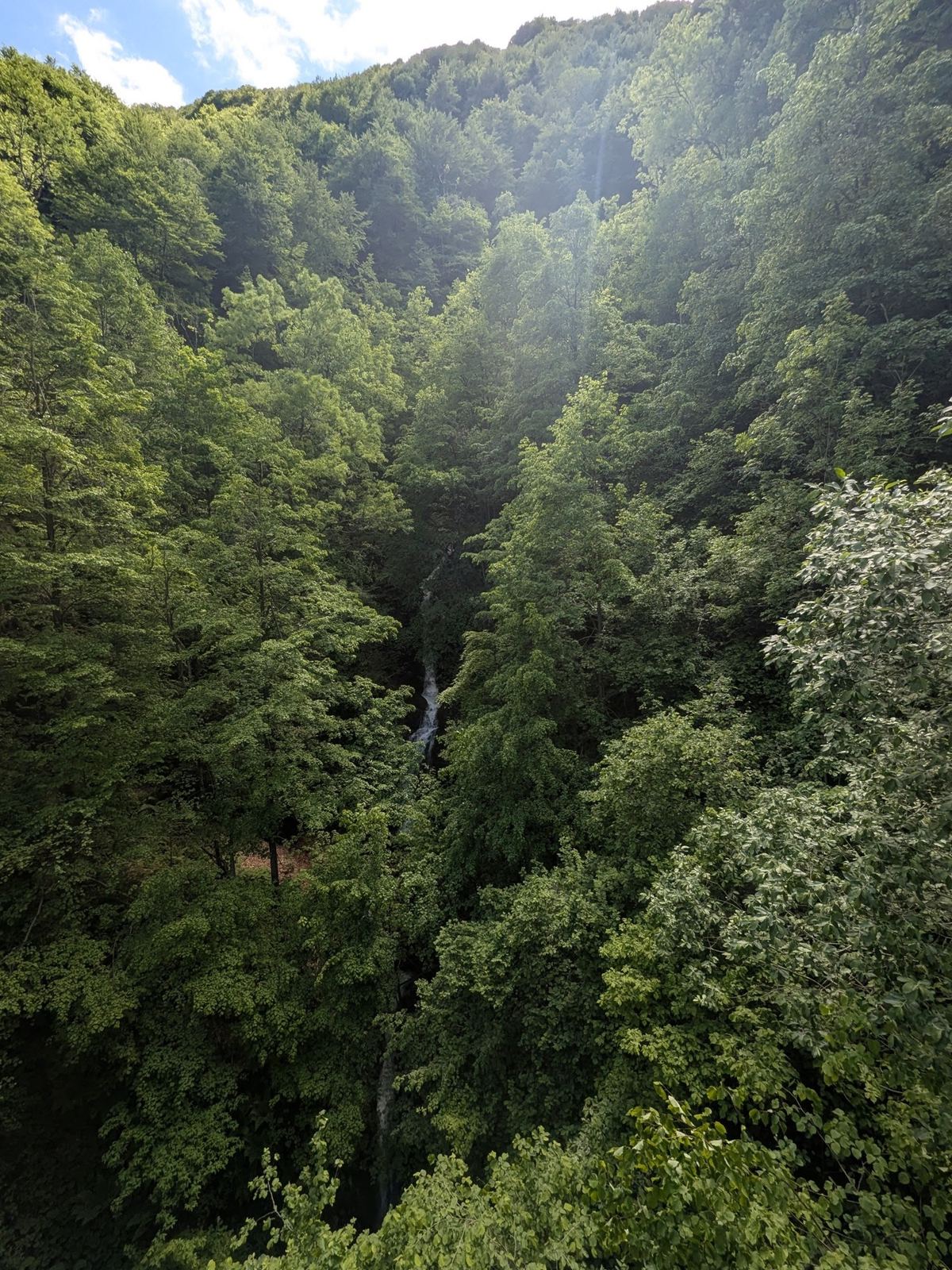
Steep forest with a thin waterfall in the woods near Gaggiolone
13:40, climbing out: the woods above Crealla.
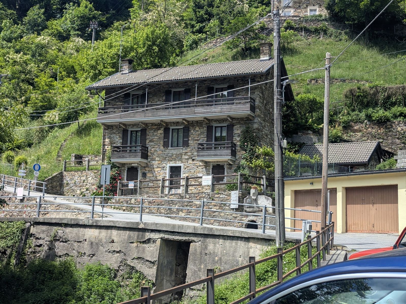
Tall old stone houses with balconies and garages beside the road in Falmenta
13:54: back through Falmenta.
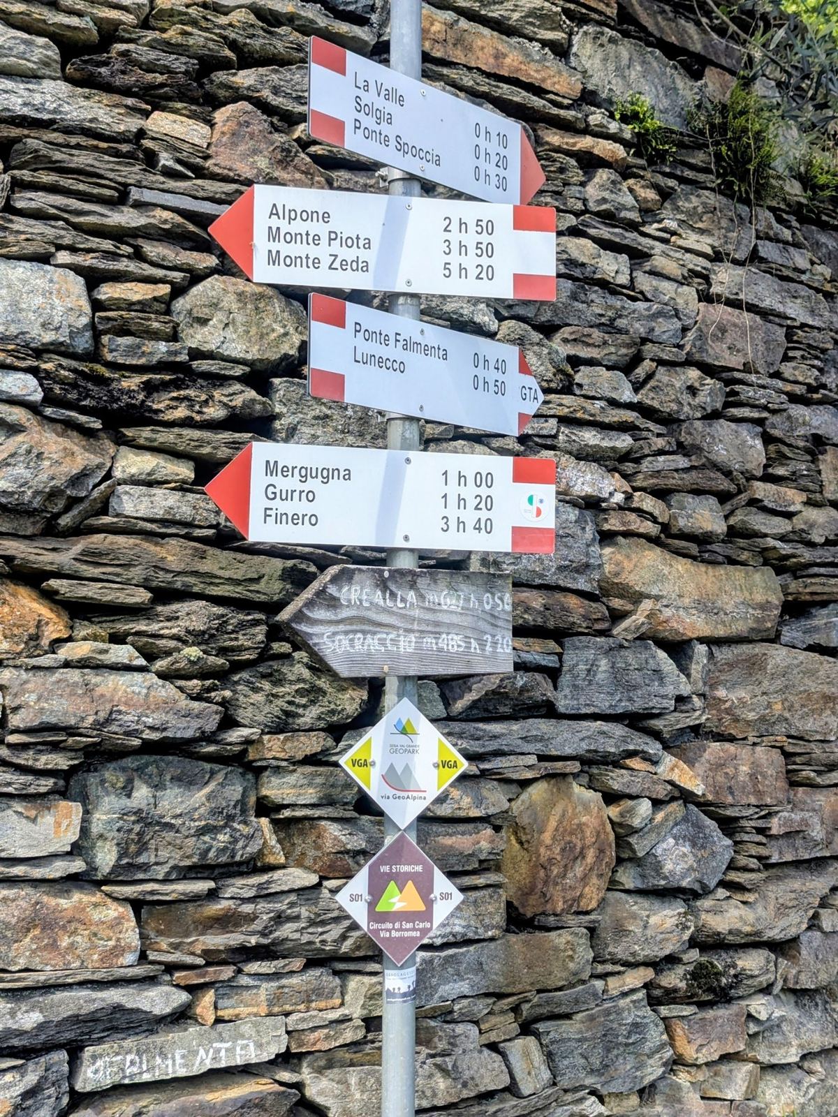
Walking signposts on a dry stone wall in Falmenta
13:59: Falmenta's signposts.
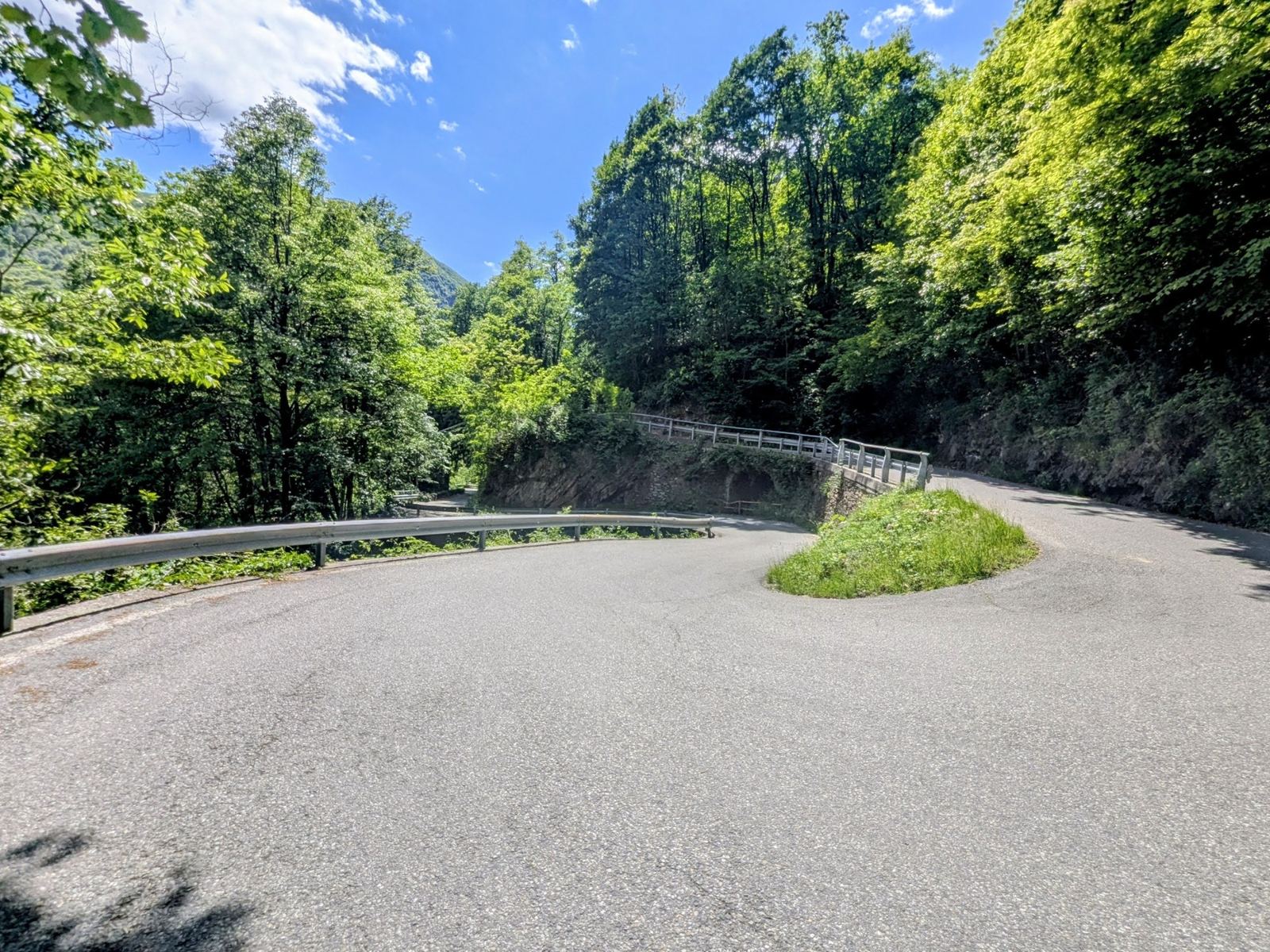
A sweeping hairpin bend on the road down from Falmenta through green woods
14:12: the hairpins on the way down.
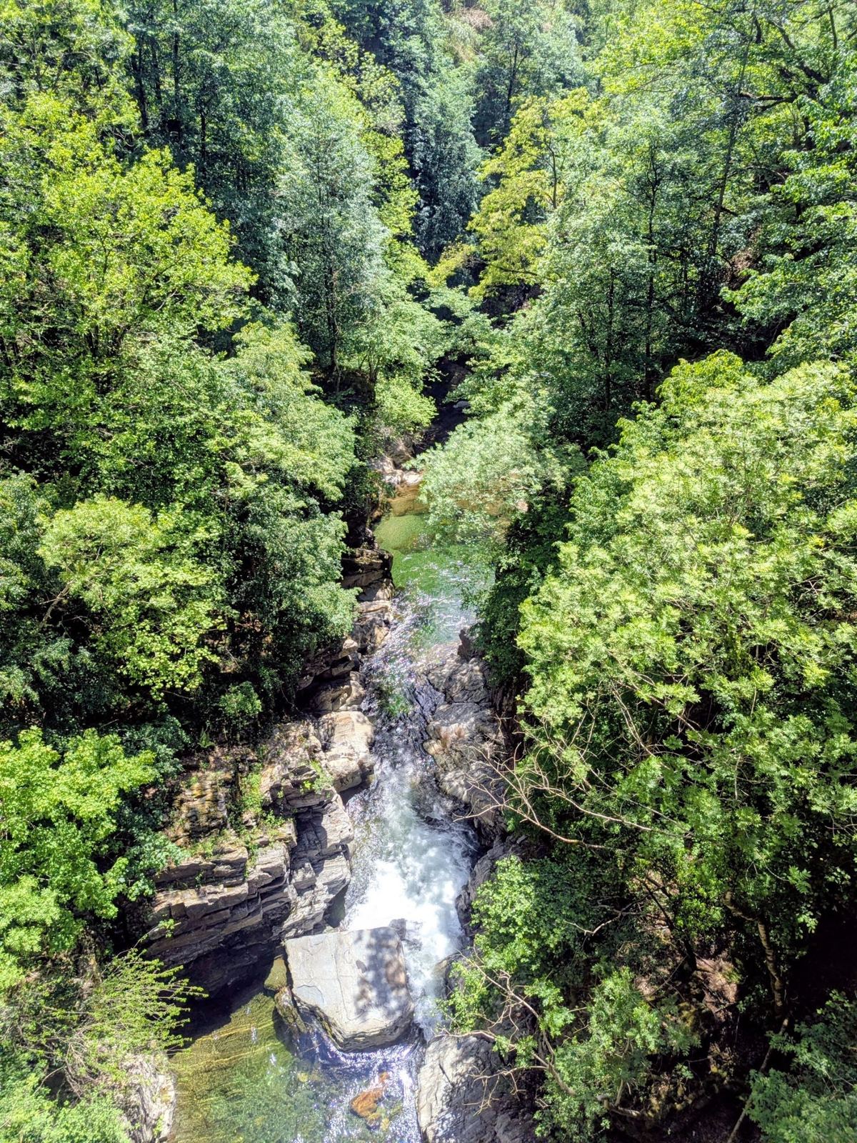
A rocky gorge with a stream far below between green trees
14:16: the gorge below the road.

Where It Is

Falmenta (marker) and Crealla on the south side of the Valle Cannobina; Cannobio is on the lake to the east.